 |
|
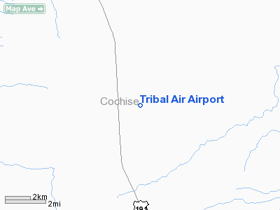
Location & QuickFacts
|
FAA
Information Effective: |
2005-10-27 |
|
Airport Identifier: |
2AZ9 |
|
Longitude/Latitude: |
109-39-05.2500W/31-36-08.3440N
-109.651458/31.602318 (Estimated) |
|
Elevation: |
4200 ft / 1280.16 m (Estimated) |
|
Land: |
0
acres |
|
From nearest city: |
1
nautical miles E of Mcneal, AZ |
|
Location: |
Cochise County, AZ |
|
Magnetic Variation: |
11E (1990) |
Owner & Manager
|
Ownership: |
Privately owned |
|
Owner: |
New Tribes Mission |
|
Address: |
1000 East First St
Sanford, FL 32771 |
|
Phone number: |
407-323-3430 |
|
Manager: |
Ntm Aviation |
|
Address: |
3870 Davis Road
Mcneal, AZ 85617 |
|
Phone number: |
520-642-9280 |
Airport Operations and Facilities
|
Airport
Use: |
Private |
|
Wind indicator: |
Yes |
|
Segmented Circle: |
No |
|
Control Tower: |
No |
|
Attendance Schedule: |
ALL/MON-FRI/0800-1600 |
|
Sectional chart: |
Phoenix |
|
Region: |
AWP - Western-Pacific |
|
Boundary ARTCC: |
ZAB - Albuquerque |
|
Tie-in FSS: |
PRC - Prescott |
|
FSS on Airport: |
No |
|
FSS Phone: |
928-778-7810 |
|
FSS Toll Free: |
1-800-WX-BRIEF |
Runway Information
Runway 04/22
|
Dimension: |
5480 x 100 ft
/ 1670.3 x 30.5 m |
|
Surface: |
GRVL,
|
|
|
Runway 04 |
Runway 22 |
|
Traffic Pattern: |
Right |
Left |
|
Displaced threshold: |
1000.00 ft |
0.00 ft |
|
Runway 17/35
|
Dimension: |
4480 x 100 ft
/ 1365.5 x 30.5 m |
|
Surface: |
GRVL,
|
|
|
Runway 17 |
Runway 35 |
|
Traffic Pattern: |
Left |
Right |
|
Obstruction: |
|
50
ft plines, 550.0 ft from runway |
|
Radio Navigation Aids
|
ID |
Type |
Name |
Ch |
Freq |
Var |
Dist |
|
DAO |
NDB |
Dragoo |
|
410.00 |
13E |
35.5
nm |
|
ARH |
TACAN |
Fort
Huachuca |
053X |
|
12E |
35.2
nm |
|
FHU |
VOR |
Libby |
|
113.60 |
13E |
36.0
nm |
|
DUG |
VORTAC |
Douglas |
025X |
108.80 |
13E |
8.2
nm |
|
CIE |
VORTAC |
Cochise |
105X |
115.80 |
13E |
26.5
nm |
|
SSO |
VORTAC |
San
Simon |
101X |
115.40 |
13E |
44.7
nm |
Remarks
Tribal Air Airport
Address:
Cochise County,
AZ
Tel:
407-323-3430,
520-642-9280
Images and information placed above are from
http://www.airport-data.com/airport/2AZ9/
We thank them for the data!
| General
Info |
| Country |
United
States |
| State |
ARIZONA
|
| FAA ID |
2AZ9 |
| Latitude |
31-36-08.344N
|
| Longitude |
109-39-05.250W
|
| Elevation |
4200 feet
|
| Near City |
MCNEAL
|
We don't guarantee the information is fresh and accurate. The data may be wrong or outdated.
For more up-to-date information please refer to other sources.
|
|


