 |
|
Location & QuickFacts
|
FAA
Information Effective: |
2005-10-27 |
|
Airport Identifier: |
AZ50 |
|
Longitude/Latitude: |
114-28-52.8880W/35-42-52.9590N
-114.481358/35.714711 (Estimated) |
|
Elevation: |
2419 ft / 737.31 m (Estimated) |
|
Land: |
115 acres |
|
From nearest city: |
5
nautical miles SW of White Hills, AZ |
|
Location: |
Mohave County, AZ |
|
Magnetic Variation: |
14E (1985) |
Owner & Manager
|
Ownership: |
Privately owned |
|
Owner: |
Boulder City Aero Club Inc. |
|
Address: |
Hc-37 Box 979-14
Kingman, AZ 96401 |
|
Phone number: |
602-767-4382 |
|
Manager: |
Dan Dufresne, Pres |
|
Address: |
Hc-37 Box 979-14
Kingman, AZ 96401 |
|
Phone number: |
602-767-4382 |
Airport Operations and Facilities
|
Airport
Use: |
Private |
|
Wind indicator: |
Yes |
|
Segmented Circle: |
No |
|
Control Tower: |
No |
|
Attendance Schedule: |
IREG |
|
Sectional chart: |
Phoenix |
|
Region: |
AWP - Western-Pacific |
|
Boundary ARTCC: |
ZLA - Los Angeles |
|
Tie-in FSS: |
PRC - Prescott |
|
FSS Phone: |
928-778-7810 |
|
FSS Toll Free: |
1-800-WX-BRIEF |
Runway Information
Runway 16/34
|
Dimension: |
4000 x 200 ft
/ 1219.2 x 61.0 m |
|
Surface: |
DIRT,
|
|
|
Runway 16 |
Runway 34 |
|
Traffic Pattern: |
Left |
Left |
|
Runway E/W
|
Dimension: |
2110 x 150 ft
/ 643.1 x 45.7 m |
|
Surface: |
DIRT,
|
|
|
Runway E |
Runway W |
|
Traffic Pattern: |
Left |
Left |
|
Radio Navigation Aids
|
ID |
Type |
Name |
Ch |
Freq |
Var |
Dist |
|
LSV |
TACAN |
Nellis |
012X |
|
15E |
41.4
nm |
|
IGM |
VOR/DME |
Kingman |
025X |
108.80 |
15E |
38.2
nm |
|
BLD |
VORTAC |
Boulder
City |
114X |
116.70 |
15E |
25.1
nm |
|
LAS |
VORTAC |
Las
Vegas |
116X |
116.90 |
15E |
39.7
nm |
|
PGS |
VORTAC |
Peach
Springs |
057X |
112.00 |
15E |
46.1
nm |
|
GFS |
VORTAC |
Goffs |
091X |
114.40 |
15E |
48.9
nm |
|
VGT |
VOT |
North
Las Vegas |
|
108.20 |
|
46.1
nm |
Remarks
-
PRVDD VFR/PVT USE; AND
THRS FOR RY 07/34 BE DSPLCD TO ENSURE AN OBSTRUCTION-FREE 20:1 APCH
OVER HWY U.S. 93.
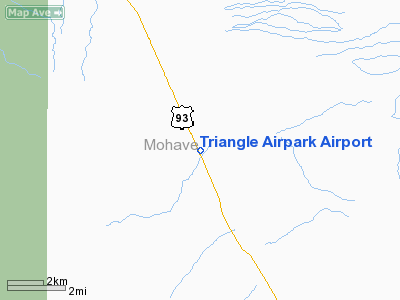
Triangle Airpark Airport
Address:
Mohave County,
AZ
Tel:
602-767-4382
Images and information placed above are from
http://www.airport-data.com/airport/AZ50/
We thank them for the data!
| General
Info |
| Country |
United
States |
| State |
ARIZONA
|
| FAA ID |
AZ50 |
| Latitude |
35-42-52.959N
|
| Longitude |
114-28-52.888W
|
| Elevation |
2419 feet
|
| Near City |
WHITE
HILLS |
We don't guarantee the information is fresh and accurate. The data may be wrong or outdated.
For more up-to-date information please refer to other sources.
|
|


