 |
|
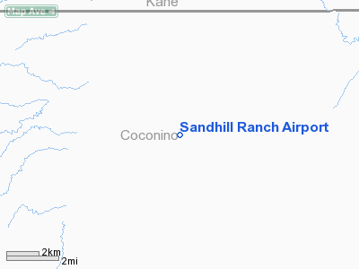
Location & QuickFacts
|
FAA
Information Effective: |
2005-10-27 |
|
Airport Identifier: |
44AZ |
|
Longitude/Latitude: |
111-58-10.6370W/36-55-54.9480N
-111.969621/36.931930 (Estimated) |
|
Elevation: |
5868 ft / 1788.57 m (Surveyed) |
|
Land: |
0
acres |
|
From nearest city: |
24 nautical miles W of Page, AZ |
|
Location: |
Coconino County, AZ |
|
Magnetic Variation: |
13E (1985) |
Owner & Manager
|
Ownership: |
Privately owned |
|
Owner: |
Jim Bryant |
|
Address: |
Box 524
Fredonia, AZ 86022 |
|
Address: |
|
Airport Operations and Facilities
|
Airport
Use: |
Private |
|
Wind indicator: |
No |
|
Segmented Circle: |
No |
|
Control Tower: |
No |
|
Attendance Schedule: |
UNATNDD |
|
Landing fee charge: |
No |
|
Sectional chart: |
Las Vegas |
|
Region: |
AWP - Western-Pacific |
|
Boundary ARTCC: |
ZLA - Los Angeles |
|
Tie-in FSS: |
PRC - Prescott |
|
FSS on Airport: |
No |
|
FSS Phone: |
928-778-7810 |
|
FSS Toll Free: |
1-800-WX-BRIEF |
Airport Services
|
Airframe
Repair: |
NONE |
|
Power
Plant Repair: |
NONE |
Runway Information
Runway NW/SE
|
Dimension: |
2640
x 100 ft / 804.7 x 30.5 m |
|
Surface: |
DIRT,
|
|
|
Runway NW |
Runway SE |
|
Traffic Pattern: |
Left |
Left |
|
Radio Navigation Aids
|
ID |
Type |
Name |
Ch |
Freq |
Var |
Dist |
|
AZC |
NDB |
Colorado City |
|
403.00 |
13E |
50.0
nm |
|
PGA |
VOR/DME |
Page |
123X |
117.60 |
13E |
25.1
nm |
|
BCE |
VORTAC |
Bryce
Canyon |
075X |
112.80 |
15E |
48.2
nm |
Remarks
-
PVT USE-FILED FOR RECORD
PURPOSES ONLY.
Sandhill Ranch Airport
Address:
Coconino County,
AZ
Images and information placed above are from
http://www.airport-data.com/airport/44AZ/
We thank them for the data!
| General
Info |
| Country |
United
States |
| State |
ARIZONA
|
| FAA ID |
44AZ |
| Latitude |
36-55-54.948N
|
| Longitude |
111-58-10.637W
|
| Elevation |
5868 feet
|
| Near City |
PAGE |
We don't guarantee the information is fresh and accurate. The data may be wrong or outdated.
For more up-to-date information please refer to other sources.
|
|


