 |
|
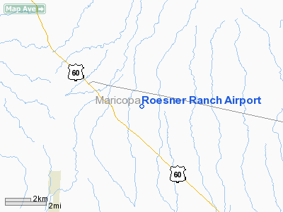
Location & QuickFacts
|
FAA
Information Effective: |
2005-10-27 |
|
Airport Identifier: |
AZ32 |
|
Longitude/Latitude: |
112-35-16.6230W/33-50-51.1180N
-112.587951/33.847533 (Estimated) |
|
Elevation: |
2060 ft / 627.89 m (Estimated) |
|
Land: |
100 acres |
|
From nearest city: |
2
nautical miles E of Morristown, AZ |
|
Location: |
Maricopa County, AZ |
|
Magnetic Variation: |
13E (1985) |
Owner & Manager
|
Ownership: |
Privately owned |
|
Owner: |
Dr Roesner/24415 Rockaway Hls |
|
Address: |
Carefree Hwy; Mm 3
Morristown, AZ 85342 |
|
Phone number: |
713-224-6611 |
|
Manager: |
Dr Roesner/24415 Rookaway Hls |
|
Address: |
Carefree Hwy: Mm 3
Morristown, AZ 85342 |
|
Phone number: |
713-224-6611 |
Airport Operations and Facilities
|
Airport
Use: |
Private |
|
Segmented Circle: |
No |
|
Control Tower: |
No |
|
Attendance Schedule: |
UNATNDD |
|
Sectional chart: |
Phoenix |
|
Region: |
AWP - Western-Pacific |
|
Boundary ARTCC: |
ZAB - Albuquerque |
|
Tie-in FSS: |
PRC - Prescott |
|
FSS on Airport: |
No |
|
FSS Phone: |
928-778-7810 |
|
FSS Toll Free: |
1-800-WX-BRIEF |
Runway Information
Runway 18/36
|
Dimension: |
4700 x 60 ft /
1432.6 x 18.3 m |
|
Surface: |
GRVL,
|
|
|
Runway 18 |
Runway 36 |
|
Traffic Pattern: |
Left |
Left |
|
Radio Navigation Aids
|
ID |
Type |
Name |
Ch |
Freq |
Var |
Dist |
|
SDL |
NDB |
Scottsdale |
|
224.00 |
12E |
36.4
nm |
|
FFZ |
NDB |
Falcon
Field |
|
281.00 |
12E |
48.6
nm |
|
LUF |
TACAN |
Luke |
077X |
|
13E |
21.3
nm |
|
BXK |
VORTAC |
Buckeye |
043X |
110.60 |
14E |
26.5
nm |
|
PXR |
VORTAC |
Phoenix |
103X |
115.60 |
12E |
39.7
nm |
|
PHX |
VOT |
Phoenix
Sky Harbor |
|
109.00 |
|
38.2
nm |
|
PRC |
VOT |
Prescott |
|
110.00 |
|
49.0
nm |
Remarks
Roesner Ranch Airport
Address:
Maricopa County,
AZ
Tel:
713-224-6611
Images and information placed above are from
http://www.airport-data.com/airport/AZ32/
We
thank them for the data!
| General
Info |
| Country |
United
States |
| State |
ARIZONA
|
| FAA ID |
AZ32 |
| Latitude |
33-50-51.118N
|
| Longitude |
112-35-16.623W
|
| Elevation |
2060 feet
|
| Near City |
MORRISTOWN
|
We don't guarantee the information is fresh and accurate. The data may be wrong or outdated.
For more up-to-date information please refer to other sources.
|
|


