 |
|
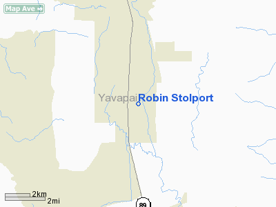
Location & QuickFacts
|
FAA Information
Effective: |
2005-10-27 |
|
Airport Identifier: |
59AZ |
|
Longitude/Latitude: |
112-26-42.6080W/34-44-40.0820N
-112.445169/34.744467 (Estimated) |
|
Elevation: |
4772 ft / 1454.51 m (Surveyed) |
|
Land: |
0
acres |
|
From nearest
city: |
0
nautical miles S of Chino Valley, AZ |
|
Location: |
Yavapai County, AZ |
|
Magnetic Variation: |
13E (1985) |
Owner & Manager
|
Ownership: |
Privately owned |
|
Owner: |
Bonanza Trust |
|
Address: |
Po Box 394
Chino Valley, AZ 86323 |
|
Phone number: |
520-636-2464 |
|
Manager: |
Robert K Reinhold |
|
Address: |
Po Box 394
Chino Valley, AZ 86323 |
|
Phone number: |
520-636-2464 |
Airport Operations and
Facilities
|
Airport Use: |
Private |
|
Wind indicator: |
Yes |
|
Segmented Circle: |
No |
|
Control Tower: |
No |
|
Attendance Schedule: |
ALL/IREG/IREG |
|
Landing fee
charge: |
Yes |
|
Sectional chart: |
Phoenix |
|
Region: |
AWP - Western-Pacific |
|
Boundary ARTCC: |
ZAB - Albuquerque |
|
Tie-in FSS: |
PRC - Prescott |
|
FSS on Airport: |
No |
|
FSS Phone: |
928-778-7810 |
|
FSS Toll Free: |
1-800-WX-BRIEF |
Airport Services
|
Airframe Repair: |
MAJOR |
|
Power Plant
Repair: |
MAJOR |
Runway Information
Runway 02/20
|
Dimension: |
1500 x 25
ft / 457.2 x 7.6 m |
|
Surface: |
DIRT-GRVL, |
|
|
Runway 02 |
Runway 20 |
|
Traffic Pattern: |
Left |
Left |
|
Displaced threshold: |
0.00 ft |
20.00 ft |
|
Obstruction: |
40
ft tree, 50.0 ft from runway |
40
ft pline, 200.0 ft from runway |
|
Radio Navigation Aids
|
ID |
Type |
Name |
Ch |
Freq |
Var |
Dist |
|
PUU |
NDB |
Pulliam |
|
379.00 |
13E |
45.0
nm |
|
FLG |
VOR/DME |
Flagstaff |
085Y |
113.85 |
14E |
45.0
nm |
|
DRK |
VORTAC |
Drake |
088X |
114.10 |
14E |
3.1
nm |
|
PRC |
VOT |
Prescott |
|
110.00 |
|
5.7
nm |
Based Aircraft
|
Aircraft based
on field: |
2 |
|
Single Engine
Airplanes: |
2 |
Robin Stolport
Address:
Yavapai County,
AZ
Tel:
520-636-2464
Images and information placed above are from
http://www.airport-data.com/airport/59AZ/
We
thank them for the data!
| General
Info |
| Country |
United
States |
| State |
ARIZONA
|
| FAA ID |
59AZ |
| Latitude |
34-44-40.082N
|
| Longitude |
112-26-42.608W
|
| Elevation |
4772 feet
|
| Near City |
CHINO
VALLEY |
We don't guarantee the information is fresh and accurate. The data may be wrong or outdated.
For more up-to-date information please refer to other sources.
|
|


