Location & QuickFacts
|
FAA Information
Effective: |
2005-10-27 |
|
Airport Identifier: |
AZ38 |
|
Longitude/Latitude: |
111-31-05.0000W/33-15-05.0000N
-111.518056/33.251389 (Estimated) |
|
Elevation: |
1550 ft / 472.44 m (Estimated) |
|
Land: |
0
acres |
|
From nearest
city: |
10 nautical miles E of Queen Creek, AZ |
|
Location: |
Pinal County, AZ |
|
Magnetic Variation: |
12E (1995) |
Owner & Manager
|
Ownership: |
Privately owned |
|
Owner: |
Az Army National Guard |
|
Address: |
5363 E. Mcdowell Road
Phoenix, AZ 85224 |
|
Phone number: |
602-267-2794 |
|
Manager: |
Ltc Jack T. Ogle |
|
Address: |
|
|
Phone number: |
602-267-2794 |
Airport Operations and
Facilities
|
Airport Use: |
Private |
|
Segmented
Circle: |
No |
|
Control Tower: |
No |
|
Sectional
chart: |
Phoenix |
|
Region: |
AWP - Western-Pacific |
|
Boundary ARTCC: |
ZAB - Albuquerque |
|
Tie-in FSS: |
PRC - Prescott |
|
FSS Phone: |
928-778-7810 |
|
FSS Toll Free: |
1-800-WX-BRIEF |
Runway Information
Runway 12/30
|
Dimension: |
1500 x 50
ft / 457.2 x 15.2 m |
|
Surface: |
ASPH,
RY 12/30 POTHOLES AND LOOSE GRAVEL ON RY. |
|
|
Runway 12 |
Runway 30 |
|
Traffic Pattern: |
Left |
Left |
|
Radio Navigation Aids
|
ID |
Type |
Name |
Ch |
Freq |
Var |
Dist |
|
CHD |
NDB |
Chandler |
|
407.00 |
12E |
14.6
nm |
|
FFZ |
NDB |
Falcon
Field |
|
281.00 |
12E |
16.6
nm |
|
SDL |
NDB |
Scottsdale |
|
224.00 |
12E |
30.0
nm |
|
GAZ |
NDB |
Globe |
|
255.00 |
13E |
43.2
nm |
|
LUF |
TACAN |
Luke |
077X |
|
13E |
46.6
nm |
|
IWA |
VORTAC |
Willie |
080X |
113.30 |
13E |
7.4
nm |
|
PXR |
VORTAC |
Phoenix |
103X |
115.60 |
12E |
25.2
nm |
|
TFD |
VORTAC |
Stanfield |
095X |
114.80 |
12E |
29.5
nm |
|
PHX |
VOT |
Phoenix
Sky Harbor |
|
109.00 |
|
27.0
nm |
Remarks
-
MILITARY HELICOPTER
TRAINING STAGE FIELD OPNS DAY AND NIGHT.
-
24 HR PPR FOR
ALL ACFT CALL C602 267-2794, DSN 853-2796.
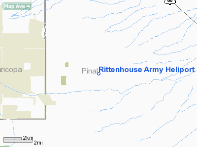
Rittenhouse Army Heliport
Address:
Pinal County,
AZ
Tel:
602-267-2794
Images and information placed above are from
http://www.airport-data.com/airport/AZ38/
We
thank them for the data!
| General
Info |
| Country |
United
States |
| State |
ARIZONA
|
| FAA ID |
AZ38 |
| Latitude |
33-15-05.000N
|
| Longitude |
111-31-05.000W
|
| Elevation |
1550 feet
|
| Near City |
QUEEN
CREEK |
We don't guarantee the information is fresh and accurate. The data may be wrong or outdated.
For more up-to-date information please refer to other sources.