 |
|
|
|
|
|
Location & QuickFacts
|
FAA Information
Effective: |
2005-10-27 |
|
Airport Identifier: |
48AZ |
|
Longitude/Latitude: |
111-47-17.5430W/34-39-03.0800N
-111.788206/34.650856 (Estimated) |
|
Elevation: |
3575 ft / 1089.66 m (Surveyed) |
|
Land: |
5
acres |
|
From nearest
city: |
3
nautical miles W of Rimrock, AZ |
|
Location: |
Yavapai County, AZ |
|
Magnetic Variation: |
13E (1985) |
Owner & Manager
|
Ownership: |
Privately owned |
|
Owner: |
Rimrock Arpt Assn L.l.c. |
|
Address: |
Po Box 746
Rimrock, AZ 86335 |
|
Phone number: |
520-567-0717 |
|
Manager: |
Earl Haase |
|
Address: |
Po Box 746
Rimrock, AZ 86335 |
|
Phone number: |
520-567-0717 |
Airport Operations
and Facilities
|
Airport Use: |
Private |
|
Wind indicator: |
Yes |
|
Segmented
Circle: |
No |
|
Control Tower: |
No |
|
Attendance
Schedule: |
ALL/ALL/ALL |
|
Lighting Schedule: |
PHONE REQ
FOR ARPT BCN & LIRL RWY 05/23 CALL 602-567-4588. |
|
Beacon Color: |
Green (lighted land airport) |
|
Landing fee
charge: |
No |
|
Sectional
chart: |
Phoenix |
|
Region: |
AWP - Western-Pacific |
|
Boundary ARTCC: |
ZAB - Albuquerque |
|
Tie-in FSS: |
PRC - Prescott |
|
FSS on Airport: |
No |
|
FSS Phone: |
928-778-7810 |
|
FSS Toll Free: |
1-800-WX-BRIEF |
Airport Services
|
Bottled Oxygen: |
NONE |
|
Bulk Oxygen: |
NONE |
Runway Information
Runway 05/23
|
Dimension: |
2184 x 75
ft / 665.7 x 22.9 m |
|
Surface: |
ASPH,
|
|
Edge Lights: |
Low
LGTS SPACED AT 320' INTEVALS; 2 SETS OF 2 BLUE LGTS MARK EACH
END OF RWY. |
|
|
Runway 05 |
Runway 23 |
|
Traffic Pattern: |
Left |
Right |
|
Runway End Identifier: |
No |
No |
|
Centerline Lights: |
No |
No |
|
Touchdown Lights: |
No |
No |
|
Radio Navigation Aids
|
ID |
Type |
Name |
Ch |
Freq |
Var |
Dist |
|
PUU |
NDB |
Pulliam |
|
379.00 |
13E |
30.1
nm |
|
FLG |
VOR/DME |
Flagstaff |
085Y |
113.85 |
14E |
30.4
nm |
|
DRK |
VORTAC |
Drake |
088X |
114.10 |
14E |
34.4
nm |
|
PRC |
VOT |
Prescott |
|
110.00 |
|
31.3
nm |
Remarks
-
<DOWNDRAFTS.<
li>
-
EDGES OF RWY ARE
USED AS ROADS FOR VEHICLE TRAFFIC.
-
RWY 05/23 HAS
140' STOPWAY SW END; 185' STOPWAY NE END.
-
RY 23 DEP RY HEADING
UNTIL 4500 FT BEFORE LEFT TURN.
-
HEAVY TWINS PROHIBITED
-
PROVIDED PUBLIC
USE; VFR CONDITIONS ONLY.
Based Aircraft
|
Aircraft based
on field: |
20 |
|
Single Engine
Airplanes: |
19 |
|
Ultralights: |
1 |
Operational Statistics
|
Aircraft Operations: |
12/Week |
|
General Aviation
Local: |
83.3% |
|
General Aviation
Itinerant: |
16.7% |
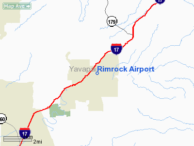
Rimrock Airport
Address:
Yavapai County,
AZ
Tel:
520-567-0717
Images and information placed above are from
http://www.airport-data.com/airport/48AZ/
We
thank them for the data!
| General
Info |
| Country |
United
States |
| State |
ARIZONA
|
| FAA ID |
48AZ |
| Latitude |
34-39-03.080N
|
| Longitude |
111-47-17.543W
|
| Elevation |
3575 feet
|
| Near City |
RIMROCK
|
We don't guarantee the information is fresh and accurate. The data may be wrong or outdated.
For more up-to-date information please refer to other sources.
|
|


