 |
|
|
|
|
|
Location & QuickFacts
|
FAA Information
Effective: |
2005-10-27 |
|
Airport Identifier: |
12AZ |
|
Longitude/Latitude: |
112-39-11.6290W/33-51-14.1160N
-112.653230/33.853921 (Estimated) |
|
Elevation: |
1840 ft / 560.83 m (Surveyed) |
|
Land: |
0
acres |
|
From nearest
city: |
2
nautical miles W of Morristown, AZ |
|
Location: |
Maricopa County, AZ |
|
Magnetic Variation: |
13E (1985) |
Owner & Manager
|
Ownership: |
Privately owned |
|
Owner: |
Jouko Ranta |
|
Address: |
Po Box 366
Morristown, AZ 85342 |
|
Phone number: |
623-388-2567 |
|
Manager: |
Jouko Ranta |
|
Address: |
Po Box 366
Morristown, AZ 85342 |
|
Phone number: |
623-388-2567 |
Airport Operations
and Facilities
|
Airport Use: |
Private |
|
Wind indicator: |
Yes |
|
Segmented
Circle: |
No |
|
Control Tower: |
No |
|
Attendance
Schedule: |
UNATNDD |
|
Landing fee
charge: |
No |
|
Sectional
chart: |
Phoenix |
|
Region: |
AWP - Western-Pacific |
|
Boundary ARTCC: |
ZAB - Albuquerque |
|
Tie-in FSS: |
PRC - Prescott |
|
FSS on Airport: |
No |
|
FSS Phone: |
928-778-7810 |
|
FSS Toll Free: |
1-800-WX-BRIEF |
Airport Services
|
Airframe Repair: |
NONE |
|
Power Plant
Repair: |
NONE |
Runway Information
Runway E/W
|
Dimension: |
2400 x 100
ft / 731.5 x 30.5 m |
|
Surface: |
GRAVEL,
|
|
|
Runway E |
Runway W |
|
Traffic Pattern: |
Right |
Right |
|
Radio Navigation Aids
|
ID |
Type |
Name |
Ch |
Freq |
Var |
Dist |
|
SDL |
NDB |
Scottsdale |
|
224.00 |
12E |
39.6 nm |
|
LUF |
TACAN |
Luke |
077X |
|
13E |
23.4 nm |
|
BXK |
VORTAC |
Buckeye |
043X |
110.60 |
14E |
25.6 nm |
|
PXR |
VORTAC |
Phoenix |
103X |
115.60 |
12E |
42.5 nm |
|
PHX |
VOT |
Phoenix
Sky Harbor |
|
109.00 |
|
40.9 nm |
|
PRC |
VOT |
Prescott |
|
110.00 |
|
49.3 nm |
Based Aircraft
|
Aircraft based on field: |
1 |
|
Multi Engine Airplanes: |
1 |
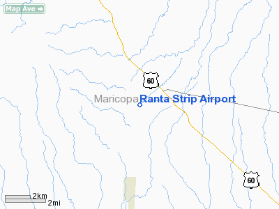
Ranta Strip Airport
Address:
Maricopa County, AZ
Tel:
623-388-2567
Images and information placed above are from
http://www.airport-data.com/airport/12AZ/
We
thank them for the data!
| General
Info |
| Country |
United
States |
| State |
ARIZONA
|
| FAA ID |
12AZ |
| Latitude |
33-51-14.116N
|
| Longitude |
112-39-11.629W
|
| Elevation |
1840 feet
|
| Near City |
MORRISTOWN
|
We don't guarantee the information is fresh and accurate. The data may be wrong or outdated.
For more up-to-date information please refer to other sources.
|
|


