 |
|
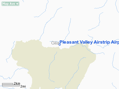
Pleasant Valley Airstrip Airport |
|
|
Location & QuickFacts
|
FAA Information
Effective: |
2005-10-27 |
|
Airport Identifier: |
24AZ |
|
Longitude/Latitude: |
110-56-07.4490W/34-09-29.1510N
-110.935403/34.158097 (Estimated) |
|
Elevation: |
5688 ft / 1733.70 m (Surveyed) |
|
Land: |
0
acres |
|
From nearest
city: |
4
nautical miles N of Young, AZ |
|
Location: |
Gila County, AZ |
|
Magnetic Variation: |
12E (1985) |
Owner & Manager
|
Ownership: |
Publicly owned |
|
Owner: |
Us Forest Service |
|
Address: |
Tonto Natl Forest, 2324 E Mc Dowell Rd
Phoenix, AZ 85006 |
|
Phone number: |
602-225-5200 |
|
Manager: |
Forest Aviation Officer |
|
Address: |
Us Forest Svc Tonto Natl Forest, 2324 E Mc Dowell Rd
Phoenix, AZ 85006 |
|
Phone number: |
602-225-5350 |
Airport Operations
and Facilities
|
Airport Use: |
Open to public |
|
Wind indicator: |
Yes |
|
Segmented
Circle: |
No |
|
Control Tower: |
No |
|
Attendance
Schedule: |
UNATNDD |
|
Landing fee
charge: |
No |
|
Sectional
chart: |
Phoenix |
|
Region: |
AWP - Western-Pacific |
|
Boundary ARTCC: |
ZAB - Albuquerque |
|
Tie-in FSS: |
PRC - Prescott |
|
FSS on Airport: |
No |
|
FSS Phone: |
928-778-7810 |
|
FSS Toll Free: |
1-800-WX-BRIEF |
Airport Services
|
Airframe Repair: |
NONE |
|
Power Plant
Repair: |
NONE |
Runway Information
Runway 06/24
|
Dimension: |
3950 x 35
ft / 1204.0 x 10.7 m |
|
Surface: |
GRAVEL,
DECOMPOSED GRANITE. |
|
|
Runway 06 |
Runway 24 |
|
Traffic Pattern: |
Left |
Left |
|
Obstruction: |
|
20
ft pline, 200.0 ft from runway |
|
Radio Navigation Aids
|
ID |
Type |
Name |
Ch |
Freq |
Var |
Dist |
|
SOW |
NDB |
Show
Low |
|
206.00 |
13E |
46.6 nm |
Pleasant Valley Airstrip Airport
Address:
Gila County, AZ
Tel:
602-225-5200, 602-225-5350
Images and information placed above are from
http://www.airport-data.com/airport/24AZ/
We
thank them for the data!
| General
Info |
| Country |
United
States |
| State |
ARIZONA
|
| FAA ID |
24AZ |
| Latitude |
34-09-29.151N
|
| Longitude |
110-56-07.449W
|
| Elevation |
5688 feet
|
| Near City |
YOUNG
|
We don't guarantee the information is fresh and accurate. The data may be wrong or outdated.
For more up-to-date information please refer to other sources.
|
|


