 |
|
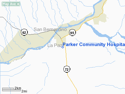
Parker Community Hospital Heliport |
Location & QuickFacts
|
FAA
Information Effective: |
2005-10-27 |
|
Airport Identifier: |
AZ47 |
|
Longitude/Latitude: |
114-17-08.8230W/34-08-12.0590N
-114.285784/34.136683 (Estimated) |
|
Elevation: |
450 ft / 137.16 m (Estimated) |
|
Land: |
0
acres |
|
From nearest city: |
1
nautical miles S of Parker, AZ |
|
Location: |
La Paz County, AZ |
|
Magnetic Variation: |
13E (1985) |
Owner & Manager
|
Ownership: |
Publicly owned |
|
Owner: |
Parker Community Hospital |
|
Address: |
P. O. Box 1149/mohave Rd
Parker, AZ 85344 |
|
Phone number: |
602-669-9201 |
|
Manager: |
Bill Coe, Admin |
|
Address: |
P. O. Box 1149/mohave Rd
Parker, AZ 85344 |
|
Phone number: |
602-669-9201 |
Airport Operations and Facilities
|
Airport
Use: |
Open to public
MEDICAL. |
|
Wind indicator: |
Yes |
|
Segmented Circle: |
No |
|
Control Tower: |
No |
|
Attendance Schedule: |
ALL/ALL/ALL |
|
Lighting Schedule: |
DUSK-DAWN |
|
Landing fee charge: |
No |
|
Sectional chart: |
Phoenix |
|
Region: |
AWP - Western-Pacific |
|
Boundary ARTCC: |
ZLA - Los Angeles |
|
Tie-in FSS: |
PRC - Prescott |
|
FSS Phone: |
928-778-7810 |
|
FSS Toll Free: |
1-800-WX-BRIEF |
Runway Information Helipad H1
|
Dimension: |
40
x 40 ft / 12.2 x 12.2 m |
|
Surface: |
CONC,
|
|
Edge Lights: |
Low |
|
|
Runway H1 |
Runway |
|
Traffic Pattern: |
Left |
Left |
|
Radio Navigation Aids
|
ID |
Type |
Name |
Ch |
Freq |
Var |
Dist |
|
PKE |
VORTAC |
Parker |
126X |
117.90 |
15E |
19.8 nm |
|
EED |
VORTAC |
Needles |
099X |
115.20 |
15E |
39.0 nm |
|
BLH |
VORTAC |
Blythe |
121X |
117.40 |
14E |
40.2 nm |
Remarks
-
VFR; PVT USE; PRVDD PILOTS
USING FACILITY ANNOUNCE THEIR INTENTIONS ON THE PARKER UNICOM FREQUENCY 122.8
WHILE OPERATING IN VICINITY OF PARKER MUNI ARPT.
Parker Community Hospital
Heliport
Address: Parker, AZ
Tel:
602-669-9201
Images
and information placed above are from
http://www.airport-data.com/airport/AZ47/
We
thank them for the data!
| General Info |
| Country |
United
States |
| State |
ARIZONA
|
| FAA ID |
AZ47 |
| Latitude |
34-08-12.059N
|
| Longitude |
114-17-08.823W
|
| Elevation |
450 feet
|
| Near City |
PARKER
|
We don't guarantee the information is fresh and accurate. The data may be wrong or outdated.
For more up-to-date information please refer to other sources.
|
|


