 |
|
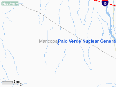
Palo Verde Nuclear Generating Station Heliport |
Location & QuickFacts
|
FAA
Information Effective: |
2005-10-27 |
|
Airport Identifier: |
AZ65 |
|
Longitude/Latitude: |
112-51-38.6330W/33-23-21.1460N
-112.860731/33.389207 (Estimated) |
|
Elevation: |
940 ft / 286.51 m (Estimated) |
|
Land: |
0
acres |
|
From nearest city: |
3
nautical miles S of Wintersburg, AZ |
|
Location: |
Maricopa County, AZ |
|
Magnetic Variation: |
13E (1985) |
Owner & Manager
|
Ownership: |
Privately owned |
|
Owner: |
Arizona Public Service |
|
Address: |
212 W Cheryl/mail Stat 3350
Pheonix, AZ 85021 |
|
Phone number: |
602-371-7333 |
|
Manager: |
Robert A. Gorscadden |
|
Address: |
P.o. Box 53999
Phoenix, AZ 85072-3999 |
|
Phone number: |
602-371-6749 |
Airport Operations and Facilities
|
Airport
Use: |
Private |
|
Wind indicator: |
No |
|
Segmented Circle: |
No |
|
Control Tower: |
No |
|
Attendance Schedule: |
UNATNDD |
|
Landing fee charge: |
No |
|
Sectional chart: |
Phoenix |
|
Region: |
AWP - Western-Pacific |
|
Boundary ARTCC: |
ZAB - Albuquerque |
|
Tie-in FSS: |
PRC - Prescott |
|
FSS on Airport: |
No |
|
FSS Phone: |
928-778-7810 |
|
FSS Toll Free: |
1-800-WX-BRIEF |
Runway Information
Helipad H1
|
Dimension: |
20 x 20 ft / 6.1
x 6.1 m |
|
Surface: |
CONC,
|
|
|
Runway H1 |
Runway |
|
Traffic Pattern: |
Left |
Left |
|
Radio Navigation Aids
|
ID |
Type |
Name |
Ch |
Freq |
Var |
Dist |
|
SDL |
NDB |
Scottsdale |
|
224.00 |
12E |
49.9 nm |
|
LUF |
TACAN |
Luke |
077X |
|
13E |
25.7 nm |
|
BXK |
VORTAC |
Buckeye |
043X |
110.60 |
14E |
4.3 nm |
|
GBN |
VORTAC |
Gila
Bend |
113X |
116.60 |
14E |
27.7 nm |
|
PXR |
VORTAC |
Phoenix |
103X |
115.60 |
12E |
44.8 nm |
|
PHX |
VOT |
Phoenix
Sky Harbor |
|
109.00 |
|
42.9 nm |
Remarks
Palo Verde Nuclear Generating Station Heliport
Address: 3
nautical miles S of Wintersburg, AZ
Tel:
602-371-7333, 602-371-6749
Images
and information placed above are from
http://www.airport-data.com/airport/AZ65
We
thank them for the data!
| General Info |
| Country |
United
States |
| State |
ARIZONA
|
| FAA ID |
AZ65 |
| Latitude |
33-23-21.146N
|
| Longitude |
112-51-38.633W
|
| Elevation |
940 feet
|
| Near City |
WINTERSBURG
|
We don't guarantee the information is fresh and accurate. The data may be wrong or outdated.
For more up-to-date information please refer to other sources.
|
|


