 |
|
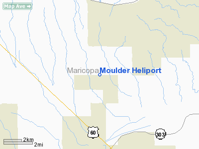
Location & QuickFacts
|
FAA
Information Effective: |
2005-10-27 |
|
Airport Identifier: |
4AZ1 |
|
Longitude/Latitude: |
112-24-59.0000W/33-45-12.0000N
-112.416389/33.753333 (Estimated) |
|
Elevation: |
1521 ft / 463.60 m (Estimated) |
|
Land: |
0
acres |
|
From nearest city: |
0
nautical miles N of Surprise, AZ |
|
Location: |
Maricopa County, AZ |
|
Magnetic Variation: |
13E (1995) |
Owner & Manager
|
Ownership: |
Privately owned |
|
Owner: |
James Moulder |
|
Address: |
16314 W. Dixileta Drive
Sun City West, AZ 85375 |
|
Phone number: |
623-546-2943 |
|
Address: |
|
Airport Operations and Facilities
|
Airport
Use: |
Private |
|
Wind indicator: |
Yes |
|
Segmented Circle: |
No |
|
Control Tower: |
No |
|
Attendance Schedule: |
UNATNDD |
|
Sectional chart: |
Phoenix |
|
Region: |
AWP - Western-Pacific |
|
Boundary ARTCC: |
ZAB - Albuquerque |
|
Tie-in FSS: |
PRC - Prescott |
|
FSS Phone: |
928-778-7810 |
|
FSS Toll Free: |
1-800-WX-BRIEF |
Runway
Information
Helipad H1
|
Dimension: |
30
x 30 ft / 9.1 x 9.1 m |
|
Surface: |
GRVL,
|
|
|
Runway H1 |
Runway |
|
Traffic Pattern: |
Left |
Left |
|
Radio Navigation Aids
|
ID |
Type |
Name |
Ch |
Freq |
Var |
Dist |
|
SDL |
NDB |
Scottsdale |
|
224.00 |
12E |
26.5
nm |
|
FFZ |
NDB |
Falcon
Field |
|
281.00 |
12E |
38.4
nm |
|
CHD |
NDB |
Chandler |
|
407.00 |
12E |
42.3
nm |
|
LUF |
TACAN |
Luke |
077X |
|
13E |
13.1
nm |
|
BXK |
VORTAC |
Buckeye |
043X |
110.60 |
14E |
27.2
nm |
|
PXR |
VORTAC |
Phoenix |
103X |
115.60 |
12E |
29.5
nm |
|
IWA |
VORTAC |
Willie |
080X |
113.30 |
13E |
46.9
nm |
|
GBN |
VORTAC |
Gila
Bend |
113X |
116.60 |
14E |
49.6
nm |
|
PHX |
VOT |
Phoenix
Sky Harbor |
|
109.00 |
|
28.0
nm |
Remarks
-
30 FT POWER LINES 300
FT SOUTH OF PAD AND 20 FT FLOOD CONTROL DIKE 1300 FT NORTH OF PAD.
-
PROVIDED VFR OPNS, PRIVATE
USE, OBSTRUCTION FREE INGRESS & EGRESS ROUTES, INGRESS & EGRESS
FROM 300 TO 020 DEGREES.
Based Aircraft
|
Aircraft
based on field: |
1 |
|
Single Engine Airplanes: |
1 |
Moulder Heliport
Address: Maricopa
County, AZ
Tel:
623-546-2943
Images
and information placed above are from
http://www.airport-data.com/airport/4AZ1/
We
thank them for the data!
| General
Info |
| Country |
United
States |
| State |
ARIZONA
|
| FAA ID |
4AZ1 |
| Latitude |
33-45-12.000N
|
| Longitude |
112-24-59.000W
|
| Elevation |
1521 feet
|
| Near City |
SURPRISE
|
We don't guarantee the information is fresh and accurate. The data may be wrong or outdated.
For more up-to-date information please refer to other sources.
|
|


