 |
|
|
|
|
|
Location &
QuickFacts
|
FAA Information Effective: |
2005-10-27 |
|
Airport Identifier: |
AZ17 |
|
Longitude/Latitude: |
109-23-28.0000W/31-30-08.0000N
-109.391111/31.502222 (Estimated) |
|
Elevation: |
4680
ft / 1426.46 m (Estimated) |
|
Land: |
0
acres |
|
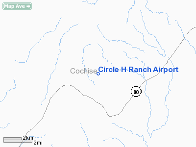
From nearest city: |
14 nautical miles NE of Douglas, AZ |
|
Location: |
Cochise County, AZ |
|
Magnetic Variation: |
11E (1990) |
Owner
& Manager
| Ownership: |
Privately
owned |
| Owner: |
Richard
T. Hlavenka |
| Address: |
4543
E. Circle H Ranch Rd
Douglas, AZ 85607 |
| Phone number: |
520-678-7223 |
| Manager: |
Richard
T. Hlavenka |
| Address: |
4543
E. Circle H Ranch Rd
Douglas, AZ 85607 |
| Phone number: |
520-678-7223 |
Airport Operations
and Facilities
|
Airport Use: |
Private |
|
Segmented Circle: |
No |
|
Control Tower: |
No |
|
Attendance Schedule: |
UNATNDD |
|
Sectional chart: |
El
Paso |
|
Region: |
AWP
- Western-Pacific |
|
Boundary ARTCC: |
ZAB
- Albuquerque |
|
Tie-in FSS: |
PRC
- Prescott |
|
FSS on Airport: |
No |
|
FSS Phone: |
928-778-7810 |
|
FSS Toll Free: |
1-800-WX-BRIEF |
Runway
Information
Runway
18/36
|
Dimension: |
1000 x 45 ft / 304.8 x 13.7 m |
|
Surface: |
TURF, |
|
|
Runway
18 |
Runway
36 |
|
Traffic Pattern: |
Left |
Left |
|
Radio
Navigation Aids
|
ID |
Type |
Name |
Ch |
Freq |
Var |
Dist |
|
DAO |
NDB |
Dragoo |
|
410.00 |
13E |
49.1
nm |
|
ARH |
TACAN |
Fort
Huachuca |
053X |
|
12E |
48.8
nm |
|
FHU |
VOR |
Libby |
|
113.60 |
13E |
49.7
nm |
|
DUG |
VORTAC |
Douglas |
025X |
108.80 |
13E |
11.0
nm |
|
CIE |
VORTAC |
Cochise |
105X |
115.80 |
13E |
37.0 nm |
|
SSO |
VORTAC |
San Simon |
101X |
115.40 |
13E |
46.6 nm |
Remarks
VFR;
PRIVATE USE ONLY.
Based Aircraft
|
Aircraft based
on field: |
1 |
|
Single Engine
Airplanes: |
1 |
Address: Cochise
County, AZ
Tel:
520-678-7223
Images and information placed above are from
http://www.airport-data.com/airport/AZ17/
We thank them for the data!
| General Info
|
| Country |
United States
|
| State |
ARIZONA
|
| FAA ID |
AZ17
|
| Latitude |
31-30-08.000N
|
| Longitude |
109-23-28.000W
|
| Elevation |
4680 feet
|
| Near City |
DOUGLAS
|
We don't guarantee the information is fresh and accurate. The data may be wrong or outdated.
For more up-to-date information please refer to other sources.
|
|


