 |
|
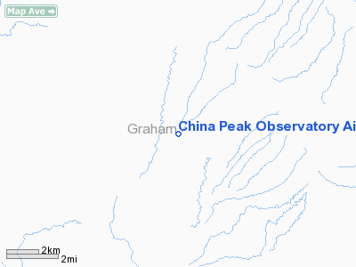
China Peak Observatory Airport |
|
|
Location
& QuickFacts
| FAA Information Effective: |
2005-10-27 |
| Airport Identifier: |
AZ45 |
| Longitude/Latitude: |
110-17-47.3110W/32-43-45.2450N
-110.296475/32.729235 (Estimated) |
| Elevation: |
4800
ft / 1463.04 m (Estimated) |
| Land: |
110
acres |
| From nearest city: |
7
nautical miles SE of Klondyke, AZ |
| Location: |
Graham
County, AZ |
| Magnetic Variation: |
12E
(1985) |
Owner
& Manager
| Ownership: |
Privately
owned |
| Owner: |
John
S Sumner |
| Address: |
728
N Sawtelle
Tucson, AZ 85716 |
| Phone number: |
602-881-5054 |
| Manager: |
None |
Airport
Operations and Facilities
| Airport Use: |
Private |
| Wind indicator: |
Yes |
| Segmented Circle: |
No |
| Control Tower: |
No |
| Attendance Schedule: |
IREG |
| Sectional chart: |
Phoenix |
| Region: |
AWP
- Western-Pacific |
| Boundary ARTCC: |
ZAB
- Albuquerque |
| Tie-in FSS: |
PRC
- Prescott |
| FSS Phone: |
928-778-7810 |
| FSS Toll Free: |
1-800-WX-BRIEF |
Runway
Information
Runway
01/19
| Dimension: |
4500
x 150 ft / 1371.6 x 45.7 m |
| Surface: |
TURF,
|
| |
Runway
01 |
Runway
19 |
| Traffic Pattern: |
Left |
Left |
|
Runway
04/22
| Dimension: |
3100
x 125 ft / 944.9 x 38.1 m |
| Surface: |
TURF,
|
| |
Runway
04 |
Runway
22 |
| Traffic Pattern: |
Left |
Left |
|
Runway
12/30
| Dimension: |
1650
x 120 ft / 502.9 x 36.6 m |
| Surface: |
TURF,
|
| |
Runway
12 |
Runway
30 |
| Traffic Pattern: |
Left |
Left |
|
Runway
15/33
| Dimension: |
1950
x 110 ft / 594.4 x 33.5 m |
| Surface: |
TURF,
|
| |
Runway
15 |
Runway
33 |
| Traffic Pattern: |
Left |
Left |
|
Radio
Navigation Aids
| ID |
Type |
Name |
Ch |
Freq |
Var |
Dist |
| GAZ |
NDB |
Globe |
|
255.00 |
13E |
42.0
nm |
| DMA |
TACAN |
Davis
Monthan |
123X |
|
12E |
45.3
nm |
| TUS |
VORTAC |
Tucson |
107X |
116.00 |
12E |
49.4
nm |
| CIE |
VORTAC |
Cochise |
105X |
115.80 |
13E |
50.0
nm |
Remarks
Address: Graham County, AZ
Phone: 602-881-5054
Images and information placed above are from
http://www.airport-data.com/airport/AZ45/
We thank them for the data!
| General Info
|
| Country |
United States
|
| State |
ARIZONA
|
| FAA ID |
AZ45
|
| Latitude |
32-43-45.245N
|
| Longitude |
110-17-47.311W
|
| Elevation |
4800 feet
|
| Near City |
KLONDYKE
|
We don't guarantee the information is fresh and accurate. The data may be wrong or outdated.
For more up-to-date information please refer to other sources.
|
|


