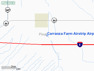
Location
& QuickFacts
| FAA Information Effective: |
2005-10-27 |
| Airport Identifier: |
5AZ7 |
| Longitude/Latitude: |
111-57-00.0000W/32-50-50.0000N
-111.950000/32.847222 (Estimated) |
| Elevation: |
1300
ft / 396.24 m (Estimated) |
| Land: |
0
acres |
| From nearest city: |
2
nautical miles SE of Stanfield, AZ |
| Location: |
Pinal
County, AZ |
| Magnetic Variation: |
12E
(1995) |
Owner
& Manager
| Ownership: |
Privately
owned |
| Owner: |
Crop
First Aviation |
| Address: |
35620
West Carranza Road
Stanfield, AZ 85272 |
| Phone number: |
520-424-3557 |
| Manager: |
Chris
Carranza |
| Address: |
35620
West Carranza Road
Stanfield, AZ 85272 |
| Phone number: |
520-424-3557 |
Airport
Operations and Facilities
| Airport Use: |
Private |
| Segmented Circle: |
No |
| Control Tower: |
No |
| Attendance Schedule: |
UNATNDD |
| Sectional chart: |
Phoenix |
| Region: |
AWP
- Western-Pacific |
| Boundary ARTCC: |
ZAB
- Albuquerque |
| Tie-in FSS: |
PRC
- Prescott |
| FSS on Airport: |
No |
| FSS Phone: |
928-778-7810 |
| FSS Toll Free: |
1-800-WX-BRIEF |
Runway
Information
Runway
16/34
| Dimension: |
2100
x 100 ft / 640.1 x 30.5 m |
| Surface: |
DIRT,
|
| |
Runway
16 |
Runway
34 |
| Traffic Pattern: |
Left |
Left |
|
Radio
Navigation Aids
| ID |
Type |
Name |
Ch |
Freq |
Var |
Dist |
| CHD |
NDB |
Chandler |
|
407.00 |
12E |
26.2
nm |
| FFZ |
NDB |
Falcon
Field |
|
281.00 |
12E |
38.5
nm |
| AVQ |
NDB |
Marana |
|
245.00 |
12E |
45.5
nm |
| SDL |
NDB |
Scottsdale |
|
224.00 |
12E |
47.0
nm |
| LUF |
TACAN |
Luke |
077X |
|
13E |
46.8
nm |
| TFD |
VORTAC |
Stanfield |
095X |
114.80 |
12E |
3.1
nm |
| IWA |
VORTAC |
Willie |
080X |
113.30 |
13E |
31.3
nm |
| PXR |
VORTAC |
Phoenix |
103X |
115.60 |
12E |
35.2
nm |
| GBN |
VORTAC |
Gila
Bend |
113X |
116.60 |
14E |
37.1
nm |
| PHX |
VOT |
Phoenix
Sky Harbor |
|
109.00 |
|
35.5
nm |
Remarks
- PRVDD
VFR/PVT USE ONLY; OBSTN-FREE APCH.
Address: Pinal County, AZ
Tel:
520-424-3557
Images and information placed above are from
http://www.airport-data.com/airport/5AZ7/
We thank them for the data!
| General Info
|
| Country |
United States
|
| State |
ARIZONA
|
| FAA ID |
5AZ7
|
| Latitude |
32-50-50.000N
|
| Longitude |
111-57-00.000W
|
| Elevation |
1300 feet
|
| Near City |
STANFIELD
|
We don't guarantee the information is fresh and accurate. The data may be wrong or outdated.
For more up-to-date information please refer to other sources.