Location
& QuickFacts
| FAA Information Effective: |
2005-10-27 |
| Airport Identifier: |
1AZ1 |
| Longitude/Latitude: |
112-15-21.5590W/33-30-54.1480N
-112.255989/33.515041 (Estimated) |
| Elevation: |
1060
ft / 323.09 m (Estimated) |
| Land: |
0
acres |
| From nearest city: |
4
nautical miles SE of Tolleson, AZ |
| Location: |
Maricopa
County, AZ |
| Magnetic Variation: |
13E
(1980) |
Owner
& Manager
| Ownership: |
Privately
owned |
| Owner: |
Boulais
Farms |
| Address: |
5346
N. 91st Avenue
Glendale, AZ 85305 |
| Phone number: |
602-247-8223 |
| Manager: |
Richard
A. Boulais |
| Address: |
4833
W. Country Gables
Glendale, AZ 85306 |
| Phone number: |
602-843-1220 |
Airport
Operations and Facilities
|
Airport Use: |
Private |
| Segmented Circle: |
No |
| Control Tower: |
No |
| Attendance Schedule: |
ALL/MON-FRI/0800-1700 |
| Sectional chart: |
Phoenix |
| Region: |
AWP
- Western-Pacific |
| Boundary ARTCC: |
ZAB
- Albuquerque |
| Tie-in FSS: |
PRC
- Prescott |
| FSS Phone: |
928-778-7810 |
| FSS Toll Free: |
1-800-WX-BRIEF |
Runway
Information
Helipad
H1
|
Dimension: |
100
x 100 ft / 30.5 x 30.5 m |
| Surface: |
ASPH,
|
| |
Runway
H1 |
Runway
|
| Traffic Pattern: |
Left |
Left |
|
Radio
Navigation Aids
| ID |
Type |
Name |
Ch |
Freq |
Var |
Dist |
| SDL |
NDB |
Scottsdale |
|
224.00 |
12E |
18.7
nm |
| FFZ |
NDB |
Falcon
Field |
|
281.00 |
12E |
26.4
nm |
| CHD |
NDB |
Chandler |
|
407.00 |
12E |
27.0
nm |
| LUF |
TACAN |
Luke |
077X |
|
13E |
6.4
nm |
| PXR |
VORTAC |
Phoenix |
103X |
115.60 |
12E |
15.2
nm |
| BXK |
VORTAC |
Buckeye |
043X |
110.60 |
14E |
28.7
nm |
| IWA |
VORTAC |
Willie |
080X |
113.30 |
13E |
32.9
nm |
| GBN |
VORTAC |
Gila
Bend |
113X |
116.60 |
14E |
39.6
nm |
| TFD |
VORTAC |
Stanfield |
095X |
114.80 |
12E |
41.7
nm |
| PHX |
VOT |
Phoenix
Sky Harbor |
|
109.00 |
|
13.3
nm |
Remarks
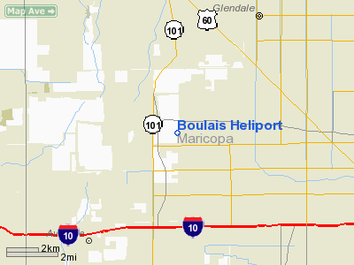
Address: Maricopa County, AZ
Tel:
602-843-1220
Images and information placed above are from
http://www.airport-data.com/airport/1AZ1/
We thank them for the data!
| General Info
|
| Country |
United States
|
| State |
ARIZONA
|
| FAA ID |
1AZ1
|
| Latitude |
33-30-54.148N
|
| Longitude |
112-15-21.559W
|
| Elevation |
1060 feet
|
| Near City |
TOLLESON
|
We don't guarantee the information is fresh and accurate. The data may be wrong or outdated.
For more up-to-date information please refer to other sources.