 |
|
|
|
|
|
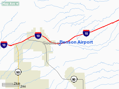
Location
& QuickFacts
| FAA Information Effective: |
2005-10-27 |
| Airport Identifier: |
31AZ |
| Longitude/Latitude: |
110-15-35.2610W/31-57-49.3000N
-110.259795/31.963694 (Estimated) |
| Elevation: |
3628
ft / 1105.81 m (Surveyed) |
| Land: |
125
acres |
| From nearest city: |
2
nautical miles E of Benson, AZ |
| Location: |
Cochise
County, AZ |
| Magnetic Variation: |
12E
(1985) |
Owner
& Manager
| Ownership: |
Privately
owned |
| Owner: |
Ben
A Taylor |
| Address: |
Box
54
Benson, AZ 85602 |
| Phone number: |
602-586-3421 |
| Manager: |
Ben
A Taylor |
| Address: |
Box
54
Benson, AZ 85602 |
| Phone number: |
602-586-3421 |
Airport
Operations and Facilities
| Airport Use: |
Private |
| Wind indicator: |
Yes |
| Segmented Circle: |
No |
| Control Tower: |
No |
| Attendance Schedule: |
UNATNDD |
| Landing fee charge: |
No |
| Sectional chart: |
Phoenix |
| Region: |
AWP
- Western-Pacific |
| Boundary ARTCC: |
ZAB
- Albuquerque |
| Tie-in FSS: |
PRC
- Prescott |
| FSS on Airport: |
No |
| FSS Phone: |
928-778-7810 |
| FSS Toll Free: |
1-800-WX-BRIEF |
Airport
Services
| Fuel available: |
100
80 |
| Airframe Repair: |
NONE |
| Power Plant Repair: |
NONE |
| Bottled Oxygen: |
NONE |
| Bulk Oxygen: |
NONE |
Runway
Information
Runway
08/26
| Dimension: |
4800
x 140 ft / 1463.0 x 42.7 m |
| Surface: |
DIRT,
Fair Condition |
| |
Runway
08 |
Runway
26 |
| Traffic Pattern: |
Left |
Left |
| Runway End Identifier: |
No |
No |
| Centerline Lights: |
No |
No |
| Touchdown Lights: |
No |
No |
|
Radio
Navigation Aids
| ID |
Type |
Name |
Ch |
Freq |
Var |
Dist |
| DAO |
NDB |
Dragoo |
|
410.00 |
13E |
23.1
nm |
| ENZ |
NDB |
Nogales |
|
394.00 |
12E |
44.3
nm |
| RYN |
NDB |
Ryan |
|
338.00 |
12E |
47.1
nm |
| ARH |
TACAN |
Fort
Huachuca |
053X |
|
12E |
23.1
nm |
| DMA |
TACAN |
Davis
Monthan |
123X |
|
12E |
33.8
nm |
| FHU |
VOR |
Libby |
|
113.60 |
13E |
23.0
nm |
| OLS |
VOR/DME |
Nogales |
019X |
108.20 |
12E |
44.7
nm |
| CIE |
VORTAC |
Cochise |
105X |
115.80 |
13E |
25.9
nm |
| TUS |
VORTAC |
Tucson |
107X |
116.00 |
12E |
34.3
nm |
| DUG |
VORTAC |
Douglas |
025X |
108.80 |
13E |
44.7
nm |
Remarks
- USE
AT PILOTS OWN RISK--PRIOR CONTACT RECOMMENDED.
- GOPHER
HOLES, SLICK & MUDDY WHEN WET
- ESTABD
PRIOR TO 5/15/59.
Address: Cochise County, AZ
Tel:
602-586-3421
Images and information placed above are from
http://www.airport-data.com/airport/31AZ/
We thank them for the data!
| General Info
|
| Country |
United States
|
| State |
ARIZONA
|
| FAA ID |
31AZ
|
| Latitude |
31-57-49.300N
|
| Longitude |
110-15-35.261W
|
| Elevation |
3628 feet
|
| Near City |
BENSON
|
We don't guarantee the information is fresh and accurate. The data may be wrong or outdated.
For more up-to-date information please refer to other sources.
|
|


