 |
|
|
|
Location
& QuickFacts
|
FAA
Information Effective: |
2006-06-08 |
|
Airport
Identifier: |
A77 |
|
Longitude/Latitude: |
156-22-02.4970W/63-00-06.7250N
-156.367360/63.001868 (Estimated) |
|
Elevation: |
1120 ft / 341.38 m (Estimated) |
|
Land: |
0 acres |
|
From
nearest city: |
1 nautical miles S of Yankee Creek, AK |
|
Location: |
Kuskokwim County, AK |
|
Magnetic Variation: |
22E (1985) |
Owner
& Manager
|
Ownership: |
Privately owned |
|
Owner: |
Toivo Rosander |
|
Address: |
Yankee Creek, AK |
|
Manager: |
Toivd Rosander |
|
Address: |
Yankee Creek, AK |
Airport
Operations and Facilities
|
Airport
Use: |
Open to public |
|
Segmented
Circle: |
No |
|
Control
Tower: |
No |
|
Attendance
Schedule: |
UNATNDD |
|
Landing
fee charge: |
No |
|
Sectional
chart: |
Mc Grath |
|
Region: |
AAL - Alaska |
|
Boundary
ARTCC: |
ZAN - Anchorage |
|
Tie-in
FSS: |
ENA - Kenai |
|
FSS
on Airport: |
No |
|
FSS
Phone: |
800-478-3576 |
|
FSS
Toll Free: |
1-800-WX-BRIEF |
|
NOTAMs
Facility: |
PATL (NOTAM-d service avaliable) |
Airport
Communications
Airport
Services
|
Airframe
Repair: |
NONE |
|
Power
Plant Repair: |
NONE |
|
Bottled
Oxygen: |
NONE |
|
Bulk
Oxygen: |
NONE |
|
Runway Information
Runway 13/31
|
Dimension: |
2000 x 80 ft / 609.6 x 24.4 m |
|
Surface: |
GRVL-DIRT, |
|
|
Runway 13 |
Runway 31 |
|
Traffic
Pattern: |
Left |
Right |
|
Radio Navigation
Aids
|
ID |
Type |
Name |
Ch |
Freq |
Var |
Dist |
|
VTR |
NDB |
Takotna River |
|
350.00 |
23E |
22.4 nm |
|
MCG |
VORTAC |
Mc Grath |
102X |
115.50 |
23E |
20.9 nm |
Remarks
- FIRST
900' RWY 13 SOFT & SPONGY; USE RWY 13 LNDG & 31 DEPT; 10 DEG
DOGLEG; RWY NOT MAINTD; SOFT IN SPRING & AFTER RAIN.
- NO
VISUAL SIGHT BETWEEN RY ENDS.
- ESTABD
PRIOR TO 1959.
Operational Statistics
|
Aircraft
Operations: |
15/Month |
|
Air Taxi: |
58.8% |
|
General
Aviation Local: |
29.4% |
|
General
Aviation Itinerant: |
11.8% |
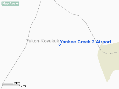
Yankee Creek 2 Airport
Address:
Kuskokwim County, AK
Tel:
Images
and information placed above are from
http://www.airport-data.com/airport/A77/
We
thank them for the data!
| General
Info |
| Country |
United
States |
| State |
ALASKA
|
| FAA ID |
A77
|
| Latitude |
63-00-06.725N
|
| Longitude |
156-22-02.497W
|
| Elevation |
1120 feet
|
| Near City |
YANKEE
CREEK |
We don't guarantee the information is fresh and accurate. The data may
be wrong or outdated.
For more up-to-date information please refer to other sources.
|
|


