 |
|
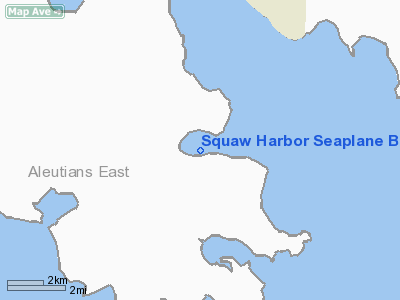
Squaw Harbor Seaplane Base |
|
|
Location
& QuickFacts
|
FAA
Information Effective: |
2006-02-16 |
|
Airport
Identifier: |
36H |
|
Longitude/Latitude: |
160-33-07.2950W/55-14-00.0210N
-160.552026/55.233339 (Estimated) |
|
Elevation: |
0 ft / 0.00 m (Estimated) |
|
Land: |
0 acres |
|
From
nearest city: |
0 nautical miles S of Squaw Harbor, AK |
|
Location: |
Aleutian Islands County, AK |
|
Magnetic Variation: |
18E (1985) |
Owner
& Manager
|
Ownership: |
Publicly owned |
|
Owner: |
Public Domain |
|
Address: |
|
|
Address: |
|
Airport
Operations and Facilities
|
Airport
Use: |
Open to public |
|
Wind
indicator: |
No |
|
Segmented
Circle: |
No |
|
Control
Tower: |
No |
|
Attendance
Schedule: |
UNATNDD |
|
Landing
fee charge: |
No |
|
Sectional
chart: |
Cold Bay |
|
Region: |
AAL - Alaska |
|
Boundary
ARTCC: |
ZAN - Anchorage |
|
Tie-in
FSS: |
CDB - Cold Bay |
|
FSS
on Airport: |
No |
|
FSS
Phone: |
907-532-2454 |
|
FSS
Toll Free: |
1-800-478-7250 |
|
Alternate
FSS: |
ENA - Kenai |
|
Alt.
FSS Toll Free: |
1-800-WX-BRIEF |
|
NOTAMs
Facility: |
SDP (NOTAM-d service avaliable) |
Airport
Communications
Airport
Services
|
Airframe
Repair: |
NONE |
|
Power
Plant Repair: |
NONE |
|
Bottled
Oxygen: |
NONE |
|
Bulk
Oxygen: |
NONE |
|
Runway
Information
Runway ALL/WAY
|
Dimension: |
5000 x 5000 ft / 1524.0 x 1524.0 m
5000. |
|
Surface: |
WATER, |
|
|
Runway ALL |
Runway WAY |
|
Traffic
Pattern: |
Left |
Left |
|
Markings: |
None, |
None, |
|
Runway
End Identifier: |
No |
No |
|
Centerline
Lights: |
No |
No |
|
Touchdown
Lights: |
No |
No |
|
Radio Navigation
Aids
|
ID |
Type |
Name |
Ch |
Freq |
Var |
Dist |
|
HBT |
NDB/DME |
Borland |
079X |
390.00 |
18E |
5.1 nm |
Remarks
- OPERG
AREA IN BARALOF BAY; UNABLE TO BEACH AT HIGH TIDE.
Operational Statistics
|
Aircraft
Operations: |
5/Month |
|
Air Taxi: |
100.0% |
Squaw Harbor Seaplane Base
Address:
Aleutian Islands County, AK
Tel:
Images
and information placed above are from
http://www.airport-data.com/airport/36H/
We
thank them for the data!
| General
Info |
| Country |
United
States |
| State |
ALASKA
|
| FAA ID |
36H
|
| Latitude |
55-14-00.021N
|
| Longitude |
160-33-07.295W
|
| Elevation |
0 feet
|
| Near City |
SQUAW
HARBOR |
We don't guarantee the information is fresh and accurate. The data may
be wrong or outdated.
For more up-to-date information please refer to other sources.
|
|


