 |
|
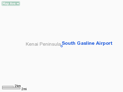
Location
& QuickFacts
|
FAA
Information Effective: |
2006-02-16 |
|
Airport
Identifier: |
AK39 |
|
Longitude/Latitude: |
150-10-47.8170W/60-41-49.9110N
-150.179949/60.697198 (Estimated) |
|
Elevation: |
381 ft / 116.13 m (Surveyed) |
|
Land: |
0 acres |
|
From
nearest city: |
19 nautical miles NE of Sterling, AK |
|
Location: |
Kenai-cook Inlet County, AK |
|
Magnetic Variation: |
25E (1985) |
Owner
& Manager
|
Ownership: |
Privately owned |
|
Owner: |
Alaska Pipeline Co |
|
Address: |
3000 Spenard Rd
Anchorage, AK 99503 |
|
Phone number: |
907-277-5551 |
|
Address: |
|
Airport
Operations and Facilities
|
Airport
Use: |
Private |
|
Wind
indicator: |
No |
|
Segmented
Circle: |
No |
|
Control
Tower: |
No |
|
Attendance
Schedule: |
UNATNDD |
|
Landing
fee charge: |
No |
|
Sectional
chart: |
Anchorage |
|
Region: |
AAL - Alaska |
|
Boundary
ARTCC: |
ZAN - Anchorage |
|
Tie-in FSS: |
ENA - Kenai |
|
FSS on Airport: |
No |
|
FSS Phone: |
800-478-3576 |
|
FSS Toll Free: |
1-800-WX-BRIEF |
Airport
Communications
Airport
Services
|
Airframe
Repair: |
NONE |
|
Power
Plant Repair: |
NONE |
|
Bottled
Oxygen: |
NONE |
|
Bulk
Oxygen: |
NONE |
|
Runway Information
Runway 02/20
|
Dimension: |
2500 x 50 ft / 762.0 x 15.2 m |
|
Surface: |
GRVL, |
|
|
Runway 02 |
Runway 20 |
|
Traffic
Pattern: |
Left |
Left |
|
Markings: |
None, |
None, |
|
Runway
End Identifier: |
No |
No |
|
Radio Navigation
Aids
|
ID |
Type |
Name |
Ch |
Freq |
Var |
Dist |
|
BOB |
NDB |
Bruck |
|
387.00 |
21E |
28.3 nm |
|
CMQ |
NDB |
Campbell Lake |
|
338.00 |
21E |
28.7 nm |
|
IWW |
NDB |
Wildwood |
|
379.00 |
20E |
31.0 nm |
|
GRP |
NDB |
Granite Point |
|
356.00 |
24E |
37.4 nm |
|
OLT |
NDB/DME |
Soldotna |
106X |
346.00 |
24E |
24.6 nm |
|
EDF |
TACAN |
Elmendorf |
081X |
|
21E |
35.6 nm |
|
ANC |
VOR/DME |
Anchorage |
090X |
114.30 |
25E |
27.3 nm |
|
ENA |
VOR/DME |
Kenai |
123X |
117.60 |
25E |
30.3 nm |
|
ANC |
VOT |
Anchorage |
|
108.40 |
|
29.4 nm |
|
MRI |
VOT |
Merrill |
|
111.00 |
|
32.6 nm |
Remarks
- LOOSE
ROCK ON RY; ROUGH & NOT MAINTAINED; LCTD ON PIPELINE RUNNING FM
KENAI PENNINSULA TO ANCHORAGE.
- RWY
WI NATL MOOSE RANGE; LNDG NOT PERMITTED EXCPT EMERG.
- SEE
NATIONAL WILDLIFE REFUGE NOTICES.
Operational Statistics
|
Aircraft
Operations: |
5/Month |
|
General
Aviation Itinerant: |
100.0% |
South Gasline Airport
Address:
Kenai-cook Inlet County, AK
Tel:
907-277-5551
Images
and information placed above are from
http://www.airport-data.com/airport/AK39/
We
thank them for the data!
| General
Info |
| Country |
United
States |
| State |
ALASKA
|
| FAA ID |
AK39
|
| Latitude |
60-41-49.911N
|
| Longitude |
150-10-47.817W
|
| Elevation |
381 feet
|
| Near City |
STERLING
|
We don't guarantee the information is fresh and accurate. The data may
be wrong or outdated.
For more up-to-date information please refer to other sources.
|
|


