 |
|
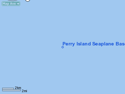
Perry Island Seaplane Base |
|
|
Location
& QuickFacts
|
FAA
Information Effective: |
2006-02-16 |
|
Airport
Identifier: |
PYL |
|
Longitude/Latitude: |
147-55-07.4500W/60-41-07.0330N
-147.918736/60.685287 (Estimated) |
|
Elevation: |
0 ft / 0.00 m (Estimated) |
|
Land: |
0 acres |
|
From
nearest city: |
0 nautical miles S of Perry Island, AK |
|
Location: |
Valdez-chitna-whitie County, AK |
|
Magnetic Variation: |
26E (1985) |
Owner
& Manager
|
Ownership: |
Privately owned |
|
Owner: |
Comstock Brothers |
|
Address: |
Anchorage, AK 99502 |
|
Address: |
|
Airport
Operations and Facilities
|
Airport
Use: |
Open to public |
|
Wind
indicator: |
No |
|
Segmented
Circle: |
No |
|
Control
Tower: |
No |
|
Attendance
Schedule: |
UNATNDD |
|
Landing
fee charge: |
No |
|
Sectional
chart: |
Anchorage |
|
Region: |
AAL - Alaska |
|
Boundary
ARTCC: |
ZAN - Anchorage |
|
Tie-in
FSS: |
JNU - Juneau |
|
FSS
on Airport: |
No |
|
FSS
Phone: |
907-586-7380 |
|
FSS
Toll Free: |
1-800-WX-BRIEF |
|
NOTAMs
Facility: |
JNU (NOTAM-d service avaliable) |
Airport
Communications
Airport
Services
|
Airframe
Repair: |
NONE |
|
Power
Plant Repair: |
NONE |
|
Bottled
Oxygen: |
NONE |
|
Bulk
Oxygen: |
NONE |
|
Runway
Information
Runway N/S
|
Dimension: |
10000 x 2000 ft / 3048.0 x 609.6 m |
|
Surface: |
WATER, |
|
|
Runway N |
Runway S |
|
Traffic
Pattern: |
Left |
Left |
|
Markings: |
None, |
None, |
|
Runway
End Identifier: |
No |
No |
|
Centerline
Lights: |
No |
No |
|
Touchdown
Lights: |
No |
No |
|
Radio Navigation
Aids
|
ID |
Type |
Name |
Ch |
Freq |
Var |
Dist |
|
ALJ |
NDB |
Orca Bay |
|
233.00 |
23E |
41.2 nm |
|
JOH |
VOR/DME |
Johnstone Point |
114X |
116.70 |
27E |
40.8 nm |
Operational Statistics
|
Aircraft
Operations: |
5/Month |
|
Air Taxi: |
83.3% |
|
General
Aviation Itinerant: |
16.7% |
Perry Island Seaplane Base
Address:
Valdez-chitna-whitie County, AK
Tel:
Images
and information placed above are from
http://www.airport-data.com/airport/PYL/
We
thank them for the data!
| General
Info |
| Country |
United
States |
| State |
ALASKA
|
| FAA ID |
PYL
|
| Latitude |
60-41-07.033N
|
| Longitude |
147-55-07.450W
|
| Elevation |
0 feet
|
| Near City |
PERRY
ISLAND |
We don't guarantee the information is fresh and accurate. The data may
be wrong or outdated.
For more up-to-date information please refer to other sources.
|
|


