 |
|
|
|
|
|
Location
& QuickFacts
|
FAA
Information Effective: |
2006-02-16 |
|
Airport
Identifier: |
AK40 |
|
Longitude/Latitude: |
154-45-37.2100W/63-13-45.0500N
-154.760336/63.229181 (Estimated) |
|
Elevation: |
1510 ft / 460.25 m (Estimated) |
|
Land: |
32 acres |
|
From
nearest city: |
28 nautical miles NE of Mcgrath, AK |
|
Location: |
Kuskokwim County, AK |
|
Magnetic Variation: |
21E (1995) |
Owner
& Manager
|
Ownership: |
Privately owned |
|
Owner: |
Bureau Of Land Management
OPERATED BY NEVADA GOLDFIELDS, INC ON BLM MINING CLAIMS
K.R. POHLE, GENERAL MANAGER, P.O. BOX 270 MC GRATH, AK 907-349-7028 |
|
Address: |
6881 Abbott Loop Road
Anchorage, AK 98507-2599 |
|
Phone
number: |
907-267-1246 |
|
Manager: |
Anchorage District Manager |
|
Address: |
6881 Abbott Loop Road
Anchorage, AK 98507-2599 |
|
Phone number: |
907-267-1246 |
Airport
Operations and Facilities
|
Airport
Use: |
Private |
|
Wind
indicator: |
Yes |
|
Segmented
Circle: |
No |
|
Control
Tower: |
No |
|
Attendance
Schedule: |
ALL/ALL/ALL |
|
Sectional
chart: |
Mc Grath |
|
Region: |
AAL - Alaska |
|
Boundary
ARTCC: |
ZAN - Anchorage |
|
Responsible
ARTCC: |
ZAN - Anchorage |
|
Tie-in
FSS: |
ENA - Kenai |
|
FSS
Phone: |
800-478-3576 |
|
FSS
Toll Free: |
1-800-WX-BRIEF |
|
Runway Information
Runway 16/34
|
Dimension: |
4200 x 100 ft / 1280.2 x 30.5 m |
|
Surface: |
GRVL, Good Condition |
|
|
Runway 16 |
Runway 34 |
|
Traffic
Pattern: |
Right |
Right |
|
Markings: |
Nonstandard,
RY 16/34 MKD WITH FLOURESCENT CONES MARKING END & APCH. |
, |
|
Radio Navigation
Aids
|
ID |
Type |
Name |
Ch |
Freq |
Var |
Dist |
|
VTR |
NDB |
Takotna River |
|
350.00 |
23E |
27.5 nm |
|
MCG |
VORTAC |
Mc Grath |
102X |
115.50 |
23E |
28.6 nm |
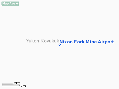
Nixon Fork Mine Airport
Address:
Kuskokwim County, AK
Tel:
907-267-1246
Images
and information placed above are from
http://www.airport-data.com/airport/AK40/
We
thank them for the data!
| General
Info |
| Country |
United
States |
| State |
ALASKA
|
| FAA ID |
AK40
|
| Latitude |
63-13-45.050N
|
| Longitude |
154-45-37.210W
|
| Elevation |
1510 feet
|
| Near City |
MC GRATH
|
We don't guarantee the information is fresh and accurate. The data may
be wrong or outdated.
For more up-to-date information please refer to other sources.
|
|


