 |
|
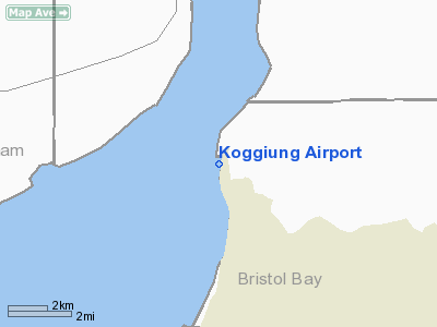
Location
& QuickFacts
|
FAA
Information Effective: |
2006-02-16 |
|
Airport
Identifier: |
5KO |
|
Longitude/Latitude: |
157-00-37.7350W/58-52-12.3780N
-157.010482/58.870105 (Estimated) |
|
Elevation: |
30
ft / 9.14 m (Estimated) |
|
Land: |
0
acres |
|
From
nearest city: |
0 nautical miles NE of Koggiung, AK |
|
Location: |
Bristol Bay County, AK |
|
Magnetic
Variation: |
21E (1985) |
Owner
& Manager
|
Ownership: |
Privately owned |
|
Owner: |
Koggiung Cannery |
|
Address: |
Naknek, AK 99633 |
|
Address: |
|
Airport
Operations and Facilities
|
Airport
Use: |
Open to public |
|
Wind
indicator: |
Yes |
|
Segmented
Circle: |
No |
|
Control
Tower: |
No |
|
Attendance
Schedule: |
UNATNDD |
|
Landing
fee charge: |
No |
|
Sectional
chart: |
Kodiak |
|
Region: |
AAL - Alaska |
|
Boundary
ARTCC: |
ZAN - Anchorage |
|
Tie-in
FSS: |
ENA - Kenai |
|
FSS
on Airport: |
No |
|
FSS
Phone: |
800-478-3576 |
|
FSS
Toll Free: |
1-800-WX-BRIEF |
|
NOTAMs
Facility: |
ENA (NOTAM-d service avaliable) |
Airport
Communications
Airport
Services
|
Airframe
Repair: |
NONE |
|
Power
Plant Repair: |
NONE |
|
Bottled
Oxygen: |
NONE |
|
Bulk
Oxygen: |
NONE |
|
Runway Information
Runway 18/36
|
Dimension: |
1000 x 40 ft / 304.8 x 12.2 m |
|
Surface: |
DIRT, |
|
|
Runway 18 |
Runway 36 |
|
Traffic
Pattern: |
Left |
Left |
|
Markings: |
None, |
None, |
|
Runway
End Identifier: |
No |
No |
|
Centerline
Lights: |
No |
No |
|
Touchdown
Lights: |
No |
No |
|
Radio Navigation
Aids
|
ID |
Type |
Name |
Ch |
Freq |
Var |
Dist |
|
AK |
NDB |
Saldo |
|
355.00 |
21E |
10.8 nm |
|
HCP |
NDB |
Kulik Lake |
|
334.00 |
21E |
44.6 nm |
|
BTS |
NDB |
Wood River |
|
429.00 |
20E |
48.3 nm |
|
DLG |
VOR/DME |
Dillingham |
111X |
116.40 |
20E |
48.4 nm |
|
AKN |
VORTAC |
King Salmon |
075X |
112.80 |
21E |
11.9 nm |
Remarks
- RWY
18/36 BADLY DRIFTED FULL LENGTH; SEVERELY ERODED SOUTH END; NOT RECOMMENDED
FOR USE.
Operational Statistics
|
Aircraft
Operations: |
5/Month |
|
Air Taxi: |
16.7% |
|
General
Aviation Itinerant: |
83.3% |
Koggiung Airport
Address: Bristol Bay County, AK
Tel:
Images
and information placed above are from
http://www.airport-data.com/airport/5KO/
We
thank them for the data!
| General
Info |
| Country |
United
States |
| State |
ALASKA
|
| FAA ID |
5KO
|
| Latitude |
58-52-12.378N
|
| Longitude |
157-00-37.735W
|
| Elevation |
30 feet
|
| Near City |
KOGGIUNG
|
We don't guarantee the information is fresh and accurate. The data may
be wrong or outdated.
For more up-to-date information please refer to other sources.
|
|


