 |
|
|
|
|
|
Location & QuickFacts
|
FAA
Information Effective: |
2006-02-16 |
|
Airport Identifier: |
4Z5 |
|
Longitude/Latitude: |
141-10-52.6620W/62-00-25.8250N
-141.181295/62.007174 (Estimated) |
|
Elevation: |
3300
ft / 1005.84 m (Estimated) |
|
Land: |
0
acres |
|
From nearest
city: |
28
nautical miles SS of Horsfeld, AK |
|
Location: |
Fairbanks
County, AK |
|
Magnetic
Variation: |
29E
(1985) |
Owner & Manager
|
Ownership: |
Publicly
owned |
|
Owner: |
Public
Domain |
|
Address: |
|
|
Address: |
|
Airport Operations
and Facilities
|
Airport
Use: |
Open to
public |
|
Wind indicator: |
Yes |
|
Segmented
Circle: |
No |
|
Control Tower: |
No |
|
Attendance
Schedule: |
UNATNDD |
|
Landing fee
charge: |
No |
|
Sectional
chart: |
Anchorage |
|
Region: |
AAL
- Alaska |
|
Boundary
ARTCC: |
ZAN
- Anchorage |
|
Tie-in FSS: |
ORT
- Northway |
|
FSS on Airport: |
No |
|
FSS Phone: |
907-778-2219 |
|
FSS Toll
Free: |
1-478-6611 |
|
Alternate
FSS: |
FAI
- Fairbanks |
|
Alt. FSS
Toll Free: |
1-866-248-6516 |
|
NOTAMs Facility: |
ORT
(NOTAM-d service avaliable) |
Airport Communications
Airport Services
|
Airframe
Repair: |
NONE |
|
Power
Plant Repair: |
NONE |
|
Bottled Oxygen: |
NONE |
|
Bulk Oxygen: |
NONE |
|
Runway Information
Runway 03/21
|
Dimension: |
1075 x 40 ft / 327.7
x 12.2 m |
|
Surface: |
TURF-GRVL, |
|
|
Runway 03 |
Runway 21 |
|
Traffic Pattern: |
Left |
Left |
|
Markings: |
None, |
None, |
|
Runway End
Identifier: |
No |
No |
|
Centerline
Lights: |
No |
No |
|
Touchdown Lights: |
No |
No |
|
Radio Navigation Aids
|
ID |
Type |
Name |
Ch |
Freq |
Var |
Dist |
|
YXQ |
NDB |
Beaver Creek |
|
239.00 |
28E |
25.5
nm |
Remarks
- RWY
03/21 ROUGH & NARROW; SLOPES DOWN TO BOTH ENDS.
Operational Statistics
|
Aircraft
Operations: |
11/Month |
|
Air Taxi: |
12.0% |
|
General Aviation
Local: |
8.0% |
|
General Aviation
Itinerant: |
80.0% |
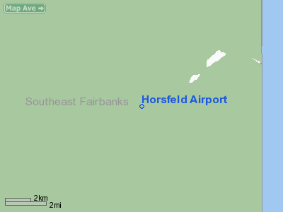
Horsfeld Airport
Address: Fairbanks
County, AK
Tel:
Images
and information placed above are from
http://www.airport-data.com/airport/4Z5/
We
thank them for the data!
| General
Info |
| Country |
United
States |
| State |
ALASKA
|
| FAA ID |
4Z5
|
| Latitude |
62-00-25.825N
|
| Longitude |
141-10-52.662W
|
| Elevation |
3300 feet
|
| Near City |
HORSFELD
|
We don't guarantee the information is fresh and accurate. The data may be wrong or outdated.
For more up-to-date information please refer to other sources.
|
|


