 |
|
|
|
|
|
Location & QuickFacts
|
FAA
Information Effective: |
2006-02-16 |
|
Airport Identifier: |
2AK6 |
|
Longitude/Latitude: |
155-40-09.5550W/66-12-57.9860N
-155.669321/66.216107 (Estimated) |
|
Elevation: |
680
ft / 207.26 m (Estimated) |
|
Land: |
10
acres |
|
From nearest
city: |
0
nautical miles SE of Hogatza, AK |
|
Location: |
Yukon-koyukuk
County, AK |
|
Magnetic
Variation: |
24E
(1985) |
Owner & Manager
|
Ownership: |
Privately
owned |
|
Owner: |
Alaska
Gold Co |
|
Address: |
Po
Box 1178
Fairbanks, AK 99707 |
|
Phone number: |
907-349-4644 |
|
Manager: |
Taiga
Mining Company, Inc. |
|
Address: |
4740
East 115 Th
Anchorage, AK 99516 |
|
Phone number: |
907-349-4644 |
Airport Operations
and Facilities
|
Airport
Use: |
Private |
|
Wind indicator: |
Yes |
|
Segmented
Circle: |
No |
|
Control Tower: |
No |
|
Attendance
Schedule: |
APR-NOV/ALL/ALL |
|
Landing fee
charge: |
Yes |
|
Sectional
chart: |
Fairbanks |
|
Region: |
AAL
- Alaska |
|
Boundary
ARTCC: |
ZAN
- Anchorage |
|
Tie-in FSS: |
FAI
- Fairbanks |
|
FSS on Airport: |
No |
|
FSS Phone: |
907-474-0788 |
|
FSS Toll
Free: |
1-866-248-6516 |
Airport Services
|
Airframe
Repair: |
NONE |
|
Power
Plant Repair: |
NONE |
|
Bottled Oxygen: |
NONE |
|
Bulk Oxygen: |
NONE |
|
Runway Information
Runway 11/29
|
Dimension: |
5500 x 70 ft / 1676.4
x 21.3 m |
|
Surface: |
GRVL-TURF, |
|
|
Runway 11 |
Runway 29 |
|
Traffic Pattern: |
Left |
Left |
|
Markings: |
None, |
None, |
|
Runway End
Identifier: |
No |
No |
|
Centerline
Lights: |
No |
No |
|
Touchdown Lights: |
No |
No |
|
Obstruction: |
600 ft hill, 2640.0 ft from runway, 4:1 slope
to clear |
6
ft brush, 0.0 ft from runway |
|
Radio Navigation Aids
|
ID |
Type |
Name |
Ch |
Freq |
Var |
Dist |
|
UTO |
NDB |
Utopia Creek |
|
272.00 |
25E |
49.3
nm |
|
HSL |
VOR/DME |
Huslia |
121X |
117.40 |
23E |
35.0
nm |
Remarks
- NOT
MAINT IN WINTER. ROCKS & RUTS ENTIRE LENGTH. SOFT AFTER RAIN. BRUSH
5'-12' HIGH ON SHOULDERS.
- MEN
& EQUIPMENT MAY BE ON RY AT ODD HRS APR-NOV.
- RY
MAY BE UNUSBL APRIL-JUNE DUE TO LOCALIZED FROST AREAS.
- GRASS
MAY BE 8 INCHES TO 12 INCHES HIGH ON UNUSED AREAS OF RY. GRASS IS NOT
MOWED.
- RY
MAY BE UNUSBL APR-NOV DUE TO MEN & EQUIP ON RY; BERMS L FM EQUIP
CROSSING RY; NATURAL OBS SUCH AS RUTS OR BERMS L FM HEAVY ACFT LDG;
SNOW BERMS ALSO.
- ESTABD
PRIOR TO 1959.
Based Aircraft
|
Aircraft
based on field: |
1 |
|
Single Engine Airplanes: |
1 |
Operational Statistics
|
Aircraft
Operations: |
11/Month |
|
Air Taxi: |
20.0% |
|
General Aviation
Itinerant: |
80.0% |
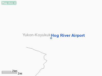
Hog River Airport
Address: Yukon-koyukuk
County, AK
Tel:
907-349-4644
Images
and information placed above are from
http://www.airport-data.com/airport/2AK6/
We
thank them for the data!
| General
Info |
| Country |
United
States |
| State |
ALASKA
|
| FAA ID |
2AK6
|
| Latitude |
66-12-57.986N
|
| Longitude |
155-40-09.555W
|
| Elevation |
680 feet
|
| Near City |
HOGATZA
|
We don't guarantee the information is fresh and accurate. The data may be wrong or outdated.
For more up-to-date information please refer to other sources.
|
|


