 |
|
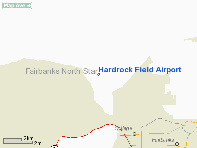
Location & QuickFacts
|
FAA
Information Effective: |
2006-02-16 |
|
Airport Identifier: |
32AK |
|
Longitude/Latitude: |
147-54-50.2600W/64-54-33.4300N
-147.913961/64.909286 (Estimated) |
|
Elevation: |
640
ft / 195.07 m (Estimated) |
|
Land: |
30
acres |
|
From nearest
city: |
7
nautical miles W of Fairbanks, AK |
|
Location: |
Fairbanks
North Star County, AK |
|
Magnetic
Variation: |
25E
(2000) |
Owner & Manager
|
Ownership: |
Privately
owned |
|
Owner: |
William
Lentsch |
|
Address: |
P.o.
Box 81063
Fairbanks, AK 99708 |
|
Phone number: |
907-455-6472 |
|
Manager: |
William
Lentsch |
|
Address: |
P.o.
Box 81063
Fairbanks, AK 99708 |
|
Phone number: |
907-455-6472 |
Airport Operations
and Facilities
|
Airport
Use: |
Private |
|
Segmented
Circle: |
No |
|
Control Tower: |
No |
|
Attendance
Schedule: |
UNATNDD |
|
Sectional
chart: |
Fairbanks |
|
Region: |
AAL
- Alaska |
|
Boundary
ARTCC: |
ZAN
- Anchorage |
|
Responsible
ARTCC: |
ZAN
- Anchorage |
|
Tie-in FSS: |
FAI
- Fairbanks |
|
FSS Phone: |
907-474-0788 |
|
FSS Toll
Free: |
1-866-248-6516 |
|
Runway Information
Runway 02/20
|
Dimension: |
900 x 50 ft / 274.3
x 15.2 m |
|
Surface: |
TURF,
|
|
|
Runway 02 |
Runway 20 |
|
Traffic Pattern: |
Left |
Left |
|
Obstruction: |
15 ft road |
15 ft road |
|
Runway 15/33
|
Dimension: |
1200 x 50 ft / 365.8
x 15.2 m |
|
Surface: |
TURF,
|
|
|
Runway 15 |
Runway 33 |
|
Traffic Pattern: |
Left |
Left |
|
Obstruction: |
50 ft trees, 100.0 ft from runway |
50 ft trees, 100.0 ft from runway |
|
Radio Navigation Aids
|
ID |
Type |
Name |
Ch |
Freq |
Var |
Dist |
|
FOX |
NDB |
Fox |
|
356.00 |
28E |
9.2
nm |
|
CUN |
NDB |
Chena |
|
257.00 |
28E |
11.5
nm |
|
ICW |
NDB |
Ice
Pool |
|
525.00 |
23E |
37.0
nm |
|
EIL |
TACAN |
Eielson |
098X |
|
26E |
26.0
nm |
|
FAI |
VORTAC |
Fairbanks |
023X |
108.60 |
28E |
7.0
nm |
|
ENN |
VORTAC |
Nenana |
105X |
115.80 |
27E |
35.4
nm |
Based Aircraft
|
Aircraft
based on field: |
3 |
|
Single Engine Airplanes: |
3 |
Hardrock Field Airport
Address: Fairbanks
North Star County, AK
Tel:
907-455-6472
Images
and information placed above are from
http://www.airport-data.com/airport/32AK/
We
thank them for the data!
| General
Info |
| Country |
United
States |
| State |
ALASKA
|
| FAA ID |
32AK
|
| Latitude |
64-54-33.430N
|
| Longitude |
147-54-50.260W
|
| Elevation |
640 feet
|
| Near City |
FAIRBANKS
|
We don't guarantee the information is fresh and accurate. The data may be wrong or outdated.
For more up-to-date information please refer to other sources.
|
|


