 |
|
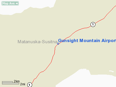
Gunsight Mountain Airport |
|
|
Location & QuickFacts
|
FAA
Information Effective: |
2006-02-16 |
|
Airport Identifier: |
A88 |
|
Longitude/Latitude: |
147-19-22.8710W/61-53-58.1470N
-147.323020/61.899485 (Estimated) |
|
Elevation: |
2950
ft / 899.16 m (Estimated) |
|
Land: |
0
acres |
|
From nearest
city: |
0
nautical miles NW of Gunsight Mountain Lodge, AK |
|
Location: |
Matanuska
Susitna County, AK |
|
Magnetic
Variation: |
26E
(1985) |
Owner & Manager
|
Ownership: |
Privately
owned |
|
Owner: |
John
Lopetrone |
|
Address: |
Mile
123
Glenn Hwy, AK 99790 |
|
Manager: |
John
Lopetrone |
|
Address: |
Mile
123
Glenn Hwy, AK 99790 |
|
Phone number: |
907-822-3272 |
Airport Operations
and Facilities
|
Airport
Use: |
Open to
public |
|
Wind indicator: |
Yes |
|
Segmented
Circle: |
No |
|
Control Tower: |
No |
|
Attendance
Schedule: |
ALL/ALL/DALGT |
|
Landing fee
charge: |
No |
|
Sectional
chart: |
Anchorage |
|
Region: |
AAL
- Alaska |
|
Boundary
ARTCC: |
ZAN
- Anchorage |
|
Tie-in FSS: |
ENA
- Kenai |
|
FSS on Airport: |
No |
|
FSS Phone: |
800-478-3576 |
|
FSS Toll
Free: |
1-800-WX-BRIEF |
|
NOTAMs Facility: |
SMU
(NOTAM-d service avaliable) |
Airport Communications
Airport Services
|
Fuel
available: |
80 |
|
Airframe
Repair: |
NONE |
|
Power
Plant Repair: |
NONE |
|
Bottled Oxygen: |
NONE |
|
Bulk Oxygen: |
NONE |
|
Runway Information
Runway 03/21
|
Dimension: |
1200 x 60 ft / 365.8
x 18.3 m |
|
Surface: |
TURF-DIRT, |
|
|
Runway 03 |
Runway 21 |
|
Traffic Pattern: |
Left |
Right |
|
Markings: |
None, |
None, |
|
Runway End
Identifier: |
No |
No |
|
Centerline
Lights: |
No |
No |
|
Touchdown Lights: |
No |
No |
|
Radio Navigation Aids
|
ID |
Type |
Name |
Ch |
Freq |
Var |
Dist |
Remarks
- FACILITY
NOT MAINTD WINTER.
Based Aircraft
|
Aircraft
based on field: |
1 |
|
Single Engine Airplanes: |
1 |
Operational Statistics
|
Aircraft
Operations: |
17/Month |
|
General Aviation
Local: |
50.0% |
|
General Aviation
Itinerant: |
50.0% |
Gunsight Mountain Airport
Address: Matanuska
Susitna County, AK
Tel:
907-822-3272
Images
and information placed above are from
http://www.airport-data.com/airport/A88/
We
thank them for the data!
| General
Info |
| Country |
United
States |
| State |
ALASKA
|
| FAA ID |
A88
|
| Latitude |
61-53-58.147N
|
| Longitude |
147-19-22.871W
|
| Elevation |
2950 feet
|
| Near City |
GUNSIGHT
MOUNTAIN LODGE |
We don't guarantee the information is fresh and accurate. The data may be wrong or outdated.
For more up-to-date information please refer to other sources.
|
|


