 |
|
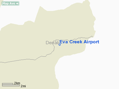
Location & QuickFacts
|
FAA
Information Effective: |
2006-02-16 |
|
Airport Identifier: |
2Z3 |
|
Longitude/Latitude: |
148-51-47.4120W/64-02-31.3490N
-148.863170/64.042041 (Estimated) |
|
Elevation: |
2817
ft / 858.62 m (Estimated) |
|
Land: |
0
acres |
|
From nearest
city: |
7
nautical miles E of Eva Creek, AK |
|
Location: |
Fairbanks
County, AK |
|
Magnetic
Variation: |
27E
(1985) |
Owner & Manager
|
Ownership: |
Publicly
owned |
|
Owner: |
Public
Domain |
|
Address: |
|
|
Address: |
|
Airport Operations
and Facilities
|
Airport
Use: |
Open to
public |
|
Wind indicator: |
No |
|
Segmented
Circle: |
No |
|
Control Tower: |
No |
|
Attendance
Schedule: |
UNATNDD |
|
Landing fee
charge: |
No |
|
Sectional
chart: |
Fairbanks |
|
Region: |
AAL
- Alaska |
|
Boundary
ARTCC: |
ZAN
- Anchorage |
|
Tie-in FSS: |
FAI
- Fairbanks |
|
FSS on Airport: |
No |
|
FSS Phone: |
907-474-0788 |
|
FSS Toll
Free: |
1-866-248-6516 |
|
NOTAMs Facility: |
FAI
(NOTAM-d service avaliable) |
Airport Communications
Airport Services
|
Airframe
Repair: |
NONE |
|
Power
Plant Repair: |
NONE |
|
Bottled Oxygen: |
NONE |
|
Bulk Oxygen: |
NONE |
|
Runway Information
Runway 08/26
|
Dimension: |
950 x 40 ft / 289.6
x 12.2 m |
|
Surface: |
GRAVEL,
HAS LARGE ROCK ON SURFACE 3+ INCHES IN DIAMETER. |
|
|
Runway 08 |
Runway 26 |
|
Traffic Pattern: |
Left |
Left |
|
Markings: |
None, |
None, |
|
Runway End
Identifier: |
No |
No |
|
Centerline
Lights: |
No |
No |
|
Touchdown Lights: |
No |
No |
|
Radio Navigation Aids
|
ID |
Type |
Name |
Ch |
Freq |
Var |
Dist |
|
ICW |
NDB |
Ice
Pool |
|
525.00 |
23E |
30.8
nm |
|
UMM |
NDB |
Summit |
|
326.00 |
27E |
43.5
nm |
|
ENN |
VORTAC |
Nenana |
105X |
115.80 |
27E |
33.4
nm |
Remarks
- EMERG
FLD FOR LGT PLANES ONLY; KNKOWLEDGE OF STRIP RCMD PRIOR TO USE; SEVERE
TURBC AT ALL TIMES.
Operational Statistics
|
Aircraft
Operations: |
13/Month |
|
Air Taxi: |
66.7% |
|
General Aviation
Itinerant: |
33.3% |
Eva Creek Airport
Address: Fairbanks
County, AK
Tel:
Images
and information placed above are from
http://www.airport-data.com/airport/2Z3/
We
thank them for the data!
| General
Info |
| Country |
United
States |
| State |
ALASKA
|
| FAA ID |
2Z3
|
| Latitude |
64-02-31.349N
|
| Longitude |
148-51-47.412W
|
| Elevation |
2817 feet
|
| Near City |
EVA CREEK
|
We don't guarantee the information is fresh and accurate. The data may be wrong or outdated.
For more up-to-date information please refer to other sources.
|
|


