 |
|
Location & QuickFacts
|
FAA
Information Effective: |
2006-02-16 |
|
Airport Identifier: |
30AK |
|
Longitude/Latitude: |
151-15-36.0100W/60-30-09.9300N
-151.260003/60.502758 (Estimated) |
|
Elevation: |
50 ft /
15.24 m (Estimated) |
|
Land: |
0 acres |
|
From nearest
city: |
3 nautical
miles SE of Kenai, AK |
|
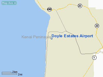
Location: |
Kenai Peninsula
County, AK |
|
Magnetic
Variation: |
23E (1990) |
Owner & Manager
|
Ownership: |
Privately
owned |
|
Owner: |
James H;
James C; & T M Doyle |
|
Address: |
Box 582
Kenai, AK 99611 |
|
Phone number: |
907-283-7655 |
|
Manager: |
James H;
James C; & T M Doyle |
|
Address: |
Box 582
Kenai, AK 99611 |
|
Phone number: |
907-283-7655 |
Airport Operations
and Facilities
|
Airport
Use: |
Private |
|
Wind indicator: |
Yes |
|
Segmented
Circle: |
No |
|
Control Tower: |
No |
|
Attendance
Schedule: |
UNATNDD |
|
Sectional
chart: |
Anchorage |
|
Region: |
AAL - Alaska |
|
Boundary
ARTCC: |
ZAN - Anchorage |
|
Tie-in FSS: |
ENA - Kenai |
|
FSS Phone: |
800-478-3576 |
|
FSS Toll
Free: |
1-800-WX-BRIEF |
|
Runway Information
Runway 16/34
|
Dimension: |
2400 x 150 ft /
731.5 x 45.7 m |
|
Surface: |
TURF,
Good Condition |
|
|
Runway 16 |
Runway 34 |
|
Traffic Pattern: |
Left |
Left |
|
Displaced threshold: |
0.00 ft |
340.00 ft |
|
Obstruction: |
|
50 ft trees, 50.0 ft from runway |
|
Radio Navigation Aids
|
ID |
Type |
Name |
Ch |
Freq |
Var |
Dist |
|
IWW |
NDB |
Wildwood |
|
379.00 |
20E |
5.9
nm |
|
DRF |
NDB |
Drift
River |
|
368.00 |
24E |
26.7
nm |
|
GRP |
NDB |
Granite Point |
|
356.00 |
24E |
27.7
nm |
|
OLT |
NDB/DME |
Soldotna |
106X |
346.00 |
24E |
11.4
nm |
|
ENA |
VOR/DME |
Kenai |
123X |
117.60 |
25E |
7.0
nm |
|
HOM |
VOR/DME |
Homer |
093X |
114.60 |
24E |
48.0
nm |
|
ANC |
VOR/DME |
Anchorage |
090X |
114.30 |
25E |
49.7
nm |
Based Aircraft
|
Aircraft
based on field: |
6 |
|
Single Engine Airplanes: |
6 |
Doyle
Estates Airport
Address: Kenai
Peninsula County, AK
Tel:
907-283-7655
Images
and information placed above are from
http://www.airport-data.com/airport/30AK/
We
thank them for the data!
| General
Info |
| Country |
United
States |
| State |
ALASKA
|
| FAA ID |
30AK
|
| Latitude |
60-30-09.930N
|
| Longitude |
151-15-36.010W
|
| Elevation |
50 feet
|
| Near City |
KENAI
|
We don't guarantee the information is fresh and accurate. The data may be wrong or outdated.
For more up-to-date information please refer to other sources.
|
|


