 |
|
Location & QuickFacts
|
FAA
Information Effective: |
2006-02-16 |
|
Airport Identifier: |
1AK0 |
|
Longitude/Latitude: |
133-08-45.0830W/55-28-30.7930N
-133.145856/55.475220 (Estimated) |
|
Elevation: |
20
ft / 6.10 m (Estimated) |
|
Land: |
0
acres |
|
From nearest city: |
0
nautical miles E of Craig, AK |
|
Location: |
Prince
Of Wales County, AK |
|
Magnetic Variation: |
26E
(1985) |
Owner & Manager
|
Ownership: |
Publicly owned |
|
Owner: |
U
S Coast Guard |
|
Address: |
Uscg
17th Dist Box 3-5000
Juneau, AK 99801 |
|
Address: |
|
|
Phone number: |
907-586-7351 |
Airport Operations and Facilities
|
Airport
Use: |
Private |
|
Wind indicator: |
Yes |
|
Segmented Circle: |
No |
|
Control Tower: |
No |
|
Attendance Schedule: |
UNATNDD |
|
Landing fee charge: |
No |
|
Sectional chart: |
Ketchikan |
|
Region: |
AAL
- Alaska |
|
Boundary ARTCC: |
ZAN
- Anchorage |
|
Tie-in FSS: |
KTN
- Ketchikan |
|
FSS on Airport: |
No |
|
FSS Phone: |
907-225-9481 |
|
FSS Toll Free: |
LC225-9481 |
|
NOTAMs Facility: |
KTN |
Airport Services
|
Airframe
Repair: |
NONE |
|
Power
Plant Repair: |
NONE |
|
Bottled Oxygen: |
NONE |
|
Bulk Oxygen: |
NONE |
Runway Information
Helipad H1
|
Dimension: |
70 x 70 ft / 21.3
x 21.3 m |
|
Surface: |
WOOD, |
|
Weight Limit: |
Single wheel: 8000 lbs. |
| |
Runway
H1 |
Runway
|
|
Elevation: |
20.00
ft |
0.00
ft |
|
Traffic Pattern: |
Left |
Left |
|
Markings: |
None,
|
,
|
|
Runway End
Identifier: |
No |
|
|
Centerline
Lights: |
No |
|
|
Touchdown
Lights: |
No |
|
|
Radio Navigation Aids
|
ID |
Type |
Name |
Ch |
Freq |
Var |
Dist |
|
AKW |
NDB/DME |
Klawock |
105X |
229.00 |
24E |
6.1 nm |
|
ECH |
VOT |
Ketchikan |
|
111.00 |
|
49.9 nm |
Operational Statistics
|
Aircraft
Operations: |
9/Month |
|
Military: |
100.0% |
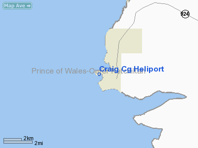
Craig Cg Heliport
Address: Prince
Of Wales County, AK
Tel:
907-586-7351
Images
and information placed above are from
http://www.airport-data.com/airport/1AK0/
We
thank them for the data!
| General
Info |
| Country |
United
States |
| State |
ALASKA
|
| FAA ID |
1AK0
|
| Latitude |
55-28-30.793N
|
| Longitude |
133-08-45.083W
|
| Elevation |
20 feet
|
| Near City |
CRAIG
|
We don't guarantee the information is fresh and accurate. The data may be wrong or outdated.
For more up-to-date information please refer to other sources.
|
|


