 |
|
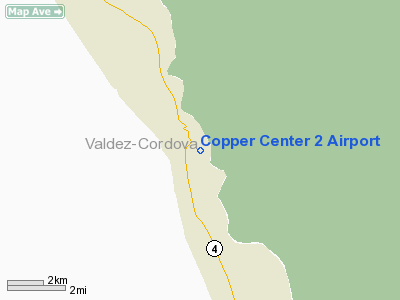
Location & QuickFacts
|
FAA
Information Effective: |
2006-02-16 |
|
Airport Identifier: |
Z93 |
|
Longitude/Latitude: |
145-17-38.6910W/61-56-28.2840N
-145.294081/61.941190 (Estimated) |
|
Elevation: |
1150
ft / 350.52 m (Estimated) |
|
Land: |
0
acres |
|
From nearest city: |
1
nautical miles S of Copper Center, AK |
|
Location: |
Valdez-chitna-whitie
County, AK |
|
Magnetic Variation: |
27E
(1985) |
Owner & Manager
|
Ownership: |
Publicly owned |
|
Owner: |
State
Of Ak Dotpf-nor Rgn
SOUTHCENTRAL DISTRICT. |
|
Address: |
2301
Peger Rd
Fairbanks, AK 99709 |
|
Phone number: |
907-835-4322 |
|
Manager: |
Joe
Junker |
|
Address: |
Po
Box 7
Glenn Allen, AK 99588 |
|
Phone number: |
907-822-3222 |
Airport Operations and Facilities
|
Airport
Use: |
Open to public |
|
Wind indicator: |
Yes |
|
Segmented Circle: |
No |
|
Control Tower: |
No |
|
Attendance Schedule: |
UNATNDD |
|
Landing fee charge: |
No |
|
Sectional chart: |
Anchorage |
|
Region: |
AAL
- Alaska |
|
Boundary ARTCC: |
ZAN
- Anchorage |
|
Tie-in FSS: |
ENA
- Kenai |
|
FSS on Airport: |
No |
|
FSS Phone: |
800-478-3576 |
|
FSS Toll Free: |
1-800-WX-BRIEF |
|
NOTAMs Facility: |
GKN
(NOTAM-d service avaliable) |
Airport Communications
Airport Services
|
Airframe
Repair: |
NONE |
|
Power
Plant Repair: |
NONE |
|
Bottled Oxygen: |
NONE |
|
Bulk Oxygen: |
NONE |
Runway Information
Runway 13/31
|
Dimension: |
2200 x 55 ft / 670.6
x 16.8 m |
|
Surface: |
GRVL,
Good Condition |
|
|
Runway 13 |
Runway 31 |
|
Traffic Pattern: |
Left |
Left |
|
Obstruction: |
20 ft trees brush, 165.0 ft from runway, 50
ft left of centerline, 8:1 slope to clear |
28 ft trees, 460.0 ft from runway, 17:1 slope
to clear |
|
Radio Navigation Aids
|
ID |
Type |
Name |
Ch |
Freq |
Var |
Dist |
|
GLA |
NDB |
Glennallen |
|
248.00 |
28E |
16.0
nm |
|
GKN |
VOR/DME |
Gulkana |
103X |
115.60 |
28E |
13.4
nm |
Remarks
- ROAD
RUNS PARALLEL TO RY 2 FT FM E EDGE.
- RY
13/31 SAFETY AREA 600 FT SOUTH END, 250 FT NORTH END.
- RY
NOT MAINTAINED & CONDITION NOT MONITORED, RECOMMEND VISUAL INSPECTION
PRIOR TO LANDING.
- GRASS
UP TO 1 FT IN HEIGHT DURING SUMMER MONTHS.
Based Aircraft
|
Aircraft
based on field: |
5 |
|
Single Engine Airplanes: |
5 |
Operational Statistics
|
Aircraft
Operations: |
24/Week |
|
Air Taxi: |
8.3% |
|
General Aviation
Local: |
25.0% |
|
General Aviation
Itinerant: |
66.7% |
Copper
Center 2 Airport
Address: Valdez-chitna-whitie
County, AK
Tel:
907-835-4322,
907-822-3222
Images
and information placed above are from
http://www.airport-data.com/airport/Z93/
We
thank them for the data!
| General
Info |
| Country |
United
States |
| State |
ALASKA
|
| FAA ID |
Z93
|
| Latitude |
61-56-28.284N
|
| Longitude |
145-17-38.691W
|
| Elevation |
1150 feet
|
| Near City |
COPPER
CENTER |
We don't guarantee the information is fresh and accurate. The data may be wrong or outdated.
For more up-to-date information please refer to other sources.
|
|


