 |
|
Location & QuickFacts
|
FAA
Information Effective: |
2005-10-27 |
|
Airport Identifier: |
Z71 |
|
Longitude/Latitude: |
133-47-48.1960W/55-57-58.6440N
-133.796721/55.966290 (Estimated) |
|
Elevation: |
0 ft / 0.00 m (Estimated) |
|
Land: |
0
acres |
|
From nearest city: |
0 nautical miles
W of Cape Pole, AK |
|
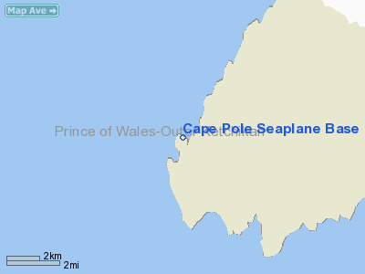
Location: |
Prince
Of Wales County, AK |
|
Magnetic Variation: |
26E (1985) |
Owner & Manager
|
Ownership: |
Privately
owned |
|
Owner: |
L.o.g. Log Co. |
|
Address: |
Cape
Pole Seaplane Base
Cape Pole, AK |
|
Address: |
|
Airport Operations and Facilities
|
Airport
Use: |
Private |
|
Segmented Circle: |
No |
|
Control Tower: |
No |
|
Attendance Schedule: |
UNATNDD |
|
Sectional chart: |
Ketchikan |
|
Region: |
AAL - Alaska |
|
Boundary ARTCC: |
ZAN
- Anchorage |
|
Tie-in FSS: |
SIT - Sitka |
|
FSS Phone: |
907-966-2221 |
|
FSS Toll Free: |
1-478-6300 |
|
Alternate FSS: |
JNU
- Juneau |
|
Alt. FSS Toll Free: |
1-800-WX-BRIEF |
|
NOTAMs Facility: |
SIT |
Airport Communications
Runway Information
Runway NW/SE
|
Dimension: |
10000
x 500 ft / 3048.0 x 152.4 m |
|
Surface: |
WATER,
|
|
|
Runway NW |
Runway SE |
|
Traffic Pattern: |
Left |
Left |
|
Markings: |
None, |
None, |
|
Runway End Identifier: |
No |
No |
|
Centerline Lights: |
No |
No |
|
Touchdown Lights: |
No |
No |
|
Radio Navigation Aids
|
ID |
Type |
Name |
Ch |
Freq |
Var |
Dist |
|
SQM |
NDB |
Sumner Strait |
|
529.00 |
28E |
38.0
nm |
|
AKW |
NDB/DME |
Klawock |
105X |
229.00 |
24E |
34.1
nm |
|
LVD |
VOR/DME |
Level
Island |
112X |
116.50 |
28E |
38.4
nm |
Remarks
-
OPERG AREA IN FISHERMANS
HARBOR; ROCKS IN ENTRANCE; HEAVY SEAS ARE FREQUENT.
-
FLOAT IN FAIR SHAPE -
LOGS IN WATER.
Operational Statistics
|
Aircraft
Operations: |
34/Month |
|
Air Taxi: |
37.5% |
|
General Aviation
Itinerant: |
62.5% |
Cape
Pole Seaplane Base
Address: Prince
Of Wales County, AK
Tel:
Images
and information placed above are from
http://www.airport-data.com/airport/Z71/
We
thank them for the data!
| General
Info |
| Country |
United
States |
| State |
ALASKA
|
| FAA ID |
Z71
|
| Latitude |
55-57-58.644N
|
| Longitude |
133-47-48.196W
|
| Elevation |
0 feet
|
| Near City |
CAPE POLE
|
We don't guarantee the information is fresh and accurate. The data may be wrong or outdated.
For more up-to-date information please refer to other sources.
|
|


