|
|
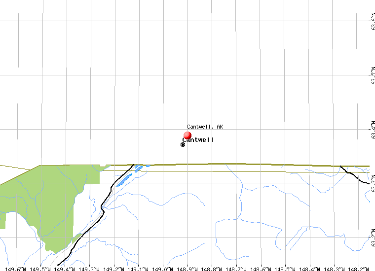
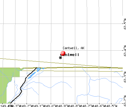
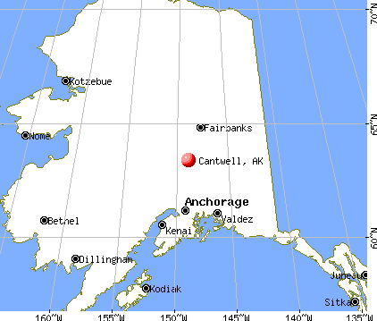
Cantwell is a census-designated place located in Denali Borough,
Alaska. As of the 2000 census, the population of the CDP is 222.
Cantwell
is located at 63°23'17" North, 148°54'1" West (63.388000,
-148.900204)GR1.
According to the United
States Census Bureau, the CDP has a total area of 307.5 km² (118.7
mi²). 306.3 km² (118.3 mi²) of it is land and 1.2 km²
(0.5 mi²) of it is water. The total area is 0.40% water.
|
 |
(Click on the photo to
enlarge) |
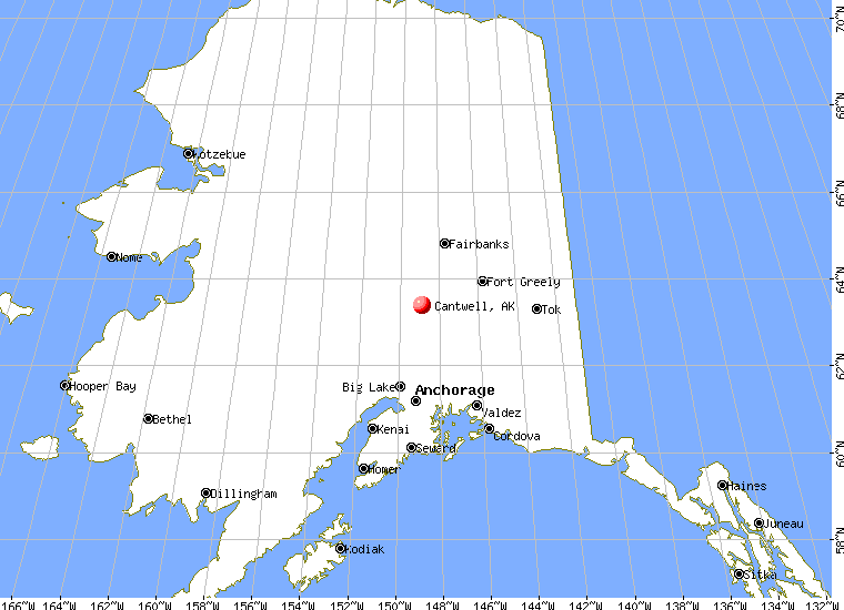
Location & QuickFacts
|
FAA
Information Effective: |
2005-10-27 |
|
Airport Identifier: |
TTW |
|
Longitude/Latitude: |
148-57-20.2190W/63-23-28.3370N
-148.955616/63.391205 (Estimated) |
|
Elevation: |
2190 ft / 667.51
m (Estimated) |
|
Land: |
0
acres |
|
From nearest city: |
0 nautical miles
N of Cantwell, AK |
|
Location: |
Mata-sus
Borough County, AK |
|
Magnetic Variation: |
27E (1985) |
Owner & Manager
|
Ownership: |
Privately
owned |
|
Owner: |
Bill Simms &
Glen Bailey |
|
Address: |
3851
Chiniak Bay Drive
Anchorage, AK 99515 |
|
Phone number: |
907-522-3355 |
|
Manager: |
Bill
Simms & Glen Bailey |
|
Address: |
3851 Chiniak Bay
Drive
Anchorage, AK 99515 |
|
Phone number: |
907-522-3355 |
Airport Operations and Facilities
|
Airport
Use: |
Private |
|
Wind indicator: |
Yes
WIND SOCK LOCATED OFF AIRPORT 100+ YARDS NW SIDE ATOP HOUSE. |
|
Segmented Circle: |
No |
|
Control Tower: |
No |
|
Attendance Schedule: |
UNATNDD |
|
Sectional chart: |
Anchorage |
|
Region: |
AAL - Alaska |
|
Boundary ARTCC: |
ZAN
- Anchorage |
|
Tie-in FSS: |
ENA - Kenai |
|
FSS Phone: |
800-478-3576 |
|
FSS Toll Free: |
1-800-WX-BRIEF |
|
NOTAMs Facility: |
TTW |
Airport Communications
Airport Services
Runway Information
Runway 04/22
|
Dimension: |
2080
x 70 ft / 634.0 x 21.3 m
USABLE WIDTH VARIBLE 25-45 FEET DUE TO VEGITATION ENCROACHMENT. |
|
Surface: |
GRVL-DIRT, |
|
|
Runway 04 |
Runway 22 |
|
Traffic Pattern: |
Right |
Left |
|
Obstruction: |
100 ft mtn, 1000.0 ft from runway, 100 ft right of centerline,
10:1 slope to clear |
15 ft road, 10.0 ft from runway |
|
Radio Navigation Aids
|
ID |
Type |
Name |
Ch |
Freq |
Var |
Dist |
|
UMM |
NDB |
Summit |
|
326.00 |
27E |
6.1
nm |
Remarks
-
RWY SUBJECT TO TURBULENT
WINDS;HIGH TERRAIN TO THE NE; SW APPROACH FAVORED.
-
CAUTION: RWY CONDITION
MONITORED IREGLY; RECOMMEND VISUAL INSPECTION PRIOR TO LANDING.
-
RY 04 REQUIRES DOGLEG
APPROACH DUE TO MOUNTAINOUS TERRAIN.
-
WHEN AVBL WEA RPRTS HRLY
ONLY.
-
RY 04 SLOPE AT 2% UPHILL
NORTH.
-
GRVL BERM N SIDE BTN
ROAD & NE 700 FT OF RY 04/22.
-
RWY EDGES AND THRESHOLDS
UNMARKED; RWY SOFT AND PUDDLES AFTER RAIN.
Based Aircraft
|
Aircraft
based on field: |
3 |
|
Single Engine Airplanes: |
3 |
Operational Statistics
|
Aircraft
Operations: |
46/Week |
|
Air Taxi: |
8.5% |
|
General Aviation
Local: |
6.4% |
|
General Aviation
Itinerant: |
63.8% |
|
Military: |
21.3% |
Cantwell Airport
Address: Mata-sus
Borough County, AK
Tel:
907-522-3355
|
 |
(Click on the photo to
enlarge) |
Images
and information placed above are from
http://www.airport-data.com/airport/TTW/
http://en.wikipedia.org/wiki/Cantwell%2C_Alaska
http://www.city-data.com/city/Cantwell-Alaska.html
We
thank them for the data!
| General
Info |
| Country |
United
States |
| State |
ALASKA
|
| FAA ID |
TTW
|
| Latitude |
63-23-28.337N
|
| Longitude |
148-57-20.219W
|
| Elevation |
2190 feet
|
| Near City |
CANTWELL
|
We don't guarantee the information is fresh and accurate. The data may be wrong or outdated.
For more up-to-date information please refer to other sources.
|
|