 |
|
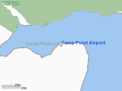
Location & QuickFacts
|
FAA
Information Effective: |
2005-10-27 |
|
Airport Identifier: |
AK18 |
|
Longitude/Latitude: |
153-04-50.9690W/59-49-42.7770N
-153.080825/59.828549 (Estimated) |
|
Elevation: |
8 ft / 2.44 m (Estimated) |
|
Land: |
0
acres |
|
From nearest city: |
40 nautical miles
N of Homer, AK |
|
Location: |
Kenai-cook
Inlet County, AK |
|
Magnetic Variation: |
22E (1990) |
Owner & Manager
|
Ownership: |
Privately owned |
|
Owner: |
Ervin A Witbrd |
|
Address: |
Box 150
Kenai, AK 99611 |
|
Phone number: |
907-283-3349 |
|
Address: |
|
Airport Operations and Facilities
|
Airport
Use: |
Private |
|
Wind indicator: |
Yes |
|
Segmented Circle: |
No |
|
Control Tower: |
No |
|
Attendance Schedule: |
UNATNDD |
|
Sectional chart: |
Kodiak |
|
Region: |
AAL - Alaska |
|
Boundary ARTCC: |
ZAN
- Anchorage |
|
Tie-in FSS: |
HOM - Homer |
|
FSS Phone: |
907-235-8588 |
|
FSS Toll Free: |
LC235-8588 |
|
Alternate FSS: |
ENA
- Kenai |
|
Alt. FSS Toll Free: |
1-800-WX-BRIEF |
|
NOTAMs Facility: |
HOM |
Runway Information
Runway 12/30
|
Dimension: |
1100
x 60 ft / 335.3 x 18.3 m |
|
Surface: |
GRVL,
|
|
|
Runway 12 |
Runway 30 |
|
Traffic Pattern: |
Left |
Left |
|
Radio Navigation Aids
|
ID |
Type |
Name |
Ch |
Freq |
Var |
Dist |
|
ACE |
NDB |
Kachemak |
|
277.00 |
24E |
49.2
nm |
|
HOM |
VOR/DME |
Homer |
093X |
114.60 |
24E |
49.7
nm |
Based Aircraft
|
Aircraft
based on field: |
1 |
|
Single Engine Airplanes: |
1 |
Camp Point Airport
Address: Kenai-cook
Inlet County, AK
Tel:
907-283-3349
Images
and information placed above are from
http://www.airport-data.com/airport/AK18/
We
thank them for the data!
| General
Info |
| Country |
United
States |
| State |
ALASKA
|
| FAA ID |
AK18
|
| Latitude |
59-49-42.777N
|
| Longitude |
153-04-50.969W
|
| Elevation |
8 feet
|
| Near City |
HOMER
|
We don't guarantee the information is fresh and accurate. The data may be wrong or outdated.
For more up-to-date information please refer to other sources.
|
|


