 |
|
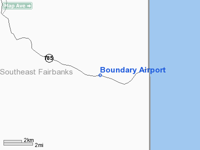
Location & QuickFacts
|
FAA
Information Effective: |
2005-10-27 |
|
Airport Identifier: |
BYA |
|
Longitude/Latitude: |
141-06-48.1500W/64-04-41.8900N
-141.113375/64.078303 (Estimated) |
|
Elevation: |
2940 ft / 896.11
m (Estimated) |
|
Land: |
45
acres |
|
From nearest city: |
0 nautical miles
W of Boundary, AK |
|
Location: |
Upper
Yukon County, AK |
|
Magnetic Variation: |
31E (1985) |
Owner & Manager
|
Ownership: |
Publicly
owned |
|
Owner: |
State Of Ak Dot/pf
N Reg. |
|
Address: |
2301
Peger Rd
Fairbanks, AK 99709 |
|
Phone number: |
907-451-2294 |
|
Manager: |
James
Fehrenbacher |
|
Address: |
Po Box 356
Tok, AK 99780 |
|
Phone number: |
907-883-5128 |
Airport Operations and Facilities
|
Airport
Use: |
Open
to public |
|
Wind indicator: |
Yes |
|
Segmented Circle: |
Yes |
|
Control Tower: |
No |
|
Attendance Schedule: |
UNATNDD |
|
Sectional chart: |
Dawson |
|
Region: |
AAL - Alaska |
|
Boundary ARTCC: |
ZAN
- Anchorage |
|
Tie-in FSS: |
ORT - Northway |
|
FSS Phone: |
907-778-2219 |
|
FSS Toll Free: |
1-478-6611 |
|
Alternate FSS: |
FAI
- Fairbanks |
|
Alt. FSS Toll Free: |
1-866-248-6516 |
|
NOTAMs Facility: |
ORT
(NOTAM-d service avaliable) |
|
Federal Agreements: |
N |
Airport Communications
Runway Information
Runway 05/23
|
Dimension: |
2500
x 60 ft / 762.0 x 18.3 m |
|
Surface: |
GRVL,
Good Condition |
|
|
Runway 05 |
Runway 23 |
|
Traffic Pattern: |
Left |
Left |
|
Displaced threshold: |
0.00 ft |
200.00 ft
RWY 23 THSD DISPLACED 200 SW |
|
Obstruction: |
90 ft trees, 1100.0 ft from runway, 150 ft left of centerline,
12:1 slope to clear |
180 ft hill, 3200.0 ft from runway, 17:1 slope to clear
APPROACH SLOPE TO DISPLACED THSLD 17:1. |
|
Radio Navigation Aids
|
ID |
Type |
Name |
Ch |
Freq |
Var |
Dist |
|
SLX |
NDB |
Slate
Creek |
|
280.00 |
30E |
46.7
nm |
Remarks
-
NO WINTER MAINT; SKI
EQUIPPED ACFT ONLY.
-
RY NOT MAINTAINED &
CONDITION NOT MONITORED, RECOMMEND VISUAL INSPECTION PRIOR TO LANDING.
-
RY 05/23 HAS DITCHES
ALONG EACH SIDE.
-
RY 05/23 HAS SLIGHT DIP
IN MIDDLE.
-
SUAIS - 125.3(1-800-758-8723).
-
ESTABD PRIOR TO 1959.
Operational Statistics
|
Aircraft
Operations: |
21/Month |
|
Air Taxi: |
40.0% |
|
General Aviation
Itinerant: |
60.0% |
Boundary
Airport
Address: Upper
Yukon County, AK
Tel:
907-451-2294,
907-883-5128
Images
and information placed above are from
http://www.airport-data.com/airport/BYA/
We
thank them for the data!
| General
Info |
| Country |
United
States |
| State |
ALASKA
|
| FAA ID |
BYA
|
| Latitude |
64-04-41.890N
|
| Longitude |
141-06-48.150W
|
| Elevation |
2940 feet
|
| Near City |
BOUNDARY
|
We don't guarantee the information is fresh and accurate. The data may be wrong or outdated.
For more up-to-date information please refer to other sources.
|
|


