 |
|
Location & QuickFacts
|
FAA
Information Effective: |
2005-10-27 |
|
Airport Identifier: |
KKI |
|
Longitude/Latitude: |
161-26-06.2780W/60-54-28.3130N
-161.435077/60.907865 (Estimated) |
|
Elevation: |
18 ft / 5.49 m (Estimated) |
|
Land: |
0
acres |
|
From nearest city: |
0 nautical miles
S of Akiachak, AK |
|
Location: |
Bethel
County, AK |
|
Magnetic Variation: |
19E (1985) |
Owner & Manager
|
Ownership: |
Publicly
owned |
|
Owner: |
Public Domain |
|
Address: |
|
|
Manager: |
None |
|
Address: |
|
Airport Operations and Facilities
|
Airport
Use: |
Open
to public |
|
Wind indicator: |
No
WINDSOCK AT ARPT FOR SPB. |
|
Segmented Circle: |
No |
|
Control Tower: |
No |
|
Attendance Schedule: |
UNATNDD |
|
Landing fee charge: |
No |
|
Sectional chart: |
Mc Grath |
|
Region: |
AAL
- Alaska |
|
Boundary ARTCC: |
ZAN - Anchorage |
|
Tie-in FSS: |
ENA
- Kenai |
|
FSS on Airport: |
No |
|
FSS Phone: |
800-478-3576 |
|
FSS Toll Free: |
1-800-WX-BRIEF |
|
NOTAMs Facility: |
BET
(NOTAM-d service avaliable) |
Airport Communications
Airport Services
|
Airframe
Repair: |
NONE |
|
Power
Plant Repair: |
NONE |
|
Bottled Oxygen: |
NONE |
|
Bulk Oxygen: |
NONE |
Runway Information
Runway E/W
|
Dimension: |
5000
x 300 ft / 1524.0 x 91.4 m |
|
Surface: |
WATER,
|
|
|
Runway E |
Runway W |
|
Traffic Pattern: |
Left |
Left |
|
Markings: |
None, |
None, |
|
Runway End Identifier: |
No |
No |
|
Centerline Lights: |
No |
No |
|
Touchdown Lights: |
No |
No |
|
Runway NW/SE
|
Dimension: |
5000
x 500 ft / 1524.0 x 152.4 m |
|
Surface: |
WATER,
|
|
|
Runway NW |
Runway SE |
|
Traffic Pattern: |
Left |
Left |
|
Markings: |
None, |
None, |
|
Runway End Identifier: |
No |
No |
|
Centerline Lights: |
No |
No |
|
Touchdown Lights: |
No |
No |
|
Radio Navigation Aids
|
ID |
Type |
Name |
Ch |
Freq |
Var |
Dist |
|
ET |
NDB |
Bethel |
|
344.00 |
19E |
13.1
nm |
|
OSE |
NDB |
Oscarville |
|
251.00 |
19E |
14.6
nm |
|
BET |
VORTAC |
Bethel |
088X |
114.10 |
19E |
13.6
nm |
Operational Statistics
|
Aircraft
Operations: |
17/Month |
|
Air Taxi: |
50.0% |
|
General Aviation
Local: |
25.0% |
|
General Aviation
Itinerant: |
25.0% |
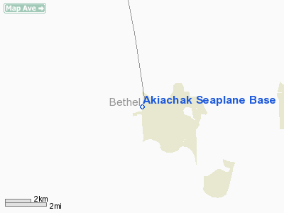
Akiachak Seaplane Base
Address: Bethel
County, AK
Tel:
Images and information placed above are from
http://www.airport-data.com/airport/KKI/
We thank them for the data!
| General
Info |
| Country |
United
States |
| State |
ALASKA
|
| FAA ID |
KKI
|
| Latitude |
60-54-28.313N
|
| Longitude |
161-26-06.278W
|
| Elevation |
18 feet
|
| Near City |
AKIACHAK
|
We don't guarantee the information is fresh and accurate. The data may be wrong or outdated.
For more up-to-date information please refer to other sources.
|
|


