 |
|
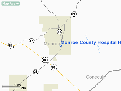
Monroe County Hospital Heliport |
Location
& QuickFacts
|
FAA Information Effective: |
2007-01-18 |
|
Airport
Identifier: |
1AL6 |
|
Airport
Status: |
Operational |
|
Longitude/Latitude: |
087-19-16.0000W/31-29-52.0000N
-87.321111/31.497778 (Estimated) |
|
Elevation: |
425 ft / 129.54 m (Estimated) |
|
Land: |
0
acres |
|
From
nearest city: |
2 nautical miles S of Monroeville, AL |
|
Location: |
Monroe County, AL |
|
Magnetic Variation: |
00E (1990) |
Owner
& Manager
|
Ownership: |
Publicly owned |
|
Owner: |
Monroe County Hospital |
|
Address: |
P.o. Box 886
Monroeville, AL 36460 |
|
Phone
number: |
205-575-3111 |
|
Manager: |
Administrator |
|
Address: |
P.o. Box 886
Monroeville, AL 36460 |
|
Phone number: |
205-575-3111 |
Airport
Operations and Facilities
|
Airport Use: |
Private
MEDICAL USE. |
|
Wind indicator: |
Yes |
|
Segmented Circle: |
No |
|
Control Tower: |
No |
|
Sectional chart: |
New Orleans |
|
Region: |
ASO - Southern |
|
Boundary ARTCC: |
ZTL - Atlanta |
|
Tie-in FSS: |
ANB - Anniston |
|
FSS on Airport: |
No |
|
FSS Toll Free: |
1-800-WX-BRIEF |
Airport
Communications
|
Runway Information
Helipad H1
|
Dimension: |
50 x 50 ft / 15.2 x 15.2 m |
|
Surface: |
CONC, |
|
|
Runway H1 |
Runway |
|
Traffic
Pattern: |
Left |
Left |
|
Radio Navigation
Aids
|
ID |
Type |
Name |
Ch |
Freq |
Var |
Dist |
|
PRN |
NDB |
Persimmon/dcmsnd |
|
359.00 |
00E |
41.9 nm |
|
JUY |
NDB |
Judd |
|
264.00 |
02W |
49.1 nm |
|
NSE |
TACAN |
Whiting |
070X |
|
01E |
49.1 nm |
|
UIA |
VOR |
Andalusia |
|
110.20 |
00E |
49.0 nm |
|
MVC |
VORTAC |
Monroeville |
115X |
116.80 |
04E |
2.8 nm |
Remarks
- PRVDD
PR USE; APCH/DEP RTE OPS FROM 050-070 DEG & FROM 230-250 DEG; TKOF/LNDG
AREA MKD; WIND INDICATOR IS MNTND; AND VFR.
Monroe County Hospital Heliport
Address:
Monroe County, AL
Tel:
205-575-3111
Images
and information placed above are from
http://www.airport-data.com/airport/1AL6/
We
thank them for the data!
| General
Info |
| Country |
United
States |
| State |
ALABAMA
|
| FAA ID |
1AL6
|
| Latitude |
31-29-52.000N
|
| Longitude |
087-19-16.000W
|
| Elevation |
425 feet
|
| Near City |
MONROEVILLE
|
We don't guarantee the information is fresh and accurate. The data may
be wrong or outdated.
For more up-to-date information please refer to other sources.
|
|


