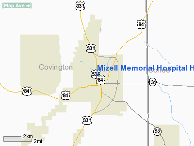
Mizell Memorial Hospital Heliport |
Location
& QuickFacts
|
FAA Information Effective: |
2007-01-18 |
|
Airport
Identifier: |
AL30 |
|
Airport
Status: |
Operational |
|
Longitude/Latitude: |
086-15-14.8240W/31-17-35.6050N
-86.254118/31.293224 (Estimated) |
|
Elevation: |
298 ft / 90.83 m (Estimated) |
|
Land: |
0
acres |
|
From
nearest city: |
0 nautical miles N of Opp, AL |
|
Location: |
Covington County, AL |
|
Magnetic Variation: |
00E (1985) |
Owner
& Manager
|
Ownership: |
Privately owned |
|
Owner: |
Mizell Memorial Hospital |
|
Address: |
Po Box 1010
Opp, AL 36467 |
|
Phone number: |
205-493-3541 |
|
Address: |
|
Airport
Operations and Facilities
|
Airport Use: |
Private
MEDICAL. |
|
Wind
indicator: |
Yes |
|
Segmented
Circle: |
No |
|
Control
Tower: |
No |
|
Lighting
Schedule: |
PHONE REQ
FOR PERIMETER LGTS CALL 205-493-3541. |
|
Sectional
chart: |
New Orleans |
|
Region: |
ASO - Southern |
|
Boundary
ARTCC: |
ZJX - Jacksonville |
|
Tie-in
FSS: |
ANB - Anniston |
|
FSS
Toll Free: |
1-800-WX-BRIEF |
|
Runway Information
Helipad H1
|
Dimension: |
40 x 40 ft / 12.2 x 12.2 m |
|
Surface: |
CONC, |
|
|
Runway H1 |
Runway |
|
Traffic
Pattern: |
Left |
Left |
|
Radio Navigation
Aids
|
ID |
Type |
Name |
Ch |
Freq |
Var |
Dist |
|
JUY |
NDB |
Judd |
|
264.00 |
02W |
7.1 nm |
|
BVG |
NDB |
Boll Weevil |
|
352.00 |
03E |
14.2 nm |
|
XBR |
NDB |
Brantley |
|
410.00 |
00E |
16.3 nm |
|
OZ |
NDB |
Ruckr |
|
212.00 |
00E |
22.9 nm |
|
LOR |
NDB |
Lowe |
|
269.00 |
03W |
26.5 nm |
|
XNE |
NDB |
Spring Hill |
|
281.00 |
00E |
27.5 nm |
|
HYE |
NDB |
Hanchey |
|
221.00 |
00E |
31.3 nm |
|
TO |
NDB |
Blood |
|
365.00 |
01W |
33.2 nm |
|
PRN |
NDB |
Persimmon/dcmsnd |
|
359.00 |
00E |
38.3 nm |
|
BKK |
NDB |
Tri County |
|
275.00 |
02W |
42.8 nm |
|
UIA |
VOR |
Andalusia |
|
110.20 |
00E |
7.2 nm |
|
EDN |
VOR |
Enterprise |
|
116.60 |
03W |
18.0 nm |
|
HEY |
VOR |
Hanchey |
|
110.60 |
02E |
31.3 nm |
|
FYL |
VOR |
Tri County |
|
108.40 |
08W |
42.9 nm |
|
OZR |
VOR/DME |
Cairns |
049X |
111.20 |
02E |
27.2 nm |
|
CEW |
VORTAC |
Crestview |
106X |
115.90 |
03E |
35.6 nm |
|
RRS |
VORTAC |
Wiregrass |
053X |
111.60 |
02E |
42.3 nm |
Remarks
- PRVDD
VFR/PVT USE; ALL LANDINGS/TAKEOFFS TO/FROM THE NORTH; FENCE IS CONSTRUCTED
AND SIGN POSTED ON S SIDE OF HELIPAD ADJACENT TO PARKING LOT; &
ROAD ON HOSP PROPERTY ON E BOUNDARY OF HELIPAD IS CLOSED.
Mizell Memorial Hospital Heliport
Address:
Covington County, AL
Tel:
205-493-3541
Images
and information placed above are from
http://www.airport-data.com/airport/AL30/
We
thank them for the data!
| General
Info |
| Country |
United
States |
| State |
ALABAMA
|
| FAA ID |
AL30
|
| Latitude |
31-17-35.605N
|
| Longitude |
086-15-14.824W
|
| Elevation |
298 feet
|
| Near City |
OPP
|
We don't guarantee the information is fresh and accurate. The data may
be wrong or outdated.
For more up-to-date information please refer to other sources.
|


