 |
|
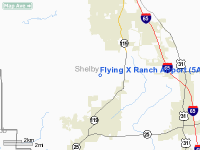
Location
& QuickFacts
|
FAA Information Effective: |
2007-01-18 |
|
Airport
Identifier: |
5AL3 |
|
Airport
Status: |
Operational |
|
Longitude/Latitude: |
086-51-04.9600W/33-09-10.4220N
-86.851378/33.152895 (Estimated) |
|
Elevation: |
466 ft / 142.04 m (Surveyed) |
|
Land: |
10
acres |
|
From
nearest city: |
3 nautical miles N of Montevallo, AL |
|
Location: |
Shelby County, AL |
|
Magnetic Variation: |
00E (1985) |
Owner
& Manager
|
Ownership: |
Privately owned |
|
Owner: |
D H Ballard |
|
Address: |
Flying X Ranch
Montevall0, AL 35115 |
|
Phone
number: |
205-665-7776 |
|
Manager: |
D H Ballard |
|
Address: |
Flying X Ranch
Montevallo, AL 35115 |
|
Phone number: |
205-665-7080 |
Airport
Operations and Facilities
|
Airport Use: |
Private |
|
Wind indicator: |
Yes |
|
Segmented Circle: |
No |
|
Control Tower: |
No |
|
Landing fee charge: |
No |
|
Sectional chart: |
Atlanta |
|
Region: |
ASO - Southern |
|
Boundary ARTCC: |
ZTL - Atlanta |
|
Tie-in FSS: |
ANB - Anniston |
|
FSS on Airport: |
No |
|
FSS Toll Free: |
1-800-WX-BRIEF |
Airport
Services
|
Airframe Repair: |
NONE |
|
Power Plant Repair: |
NONE |
|
Runway Information
Runway 17/35
|
Dimension: |
2500 x 100 ft / 762.0 x 30.5 m |
|
Surface: |
TURF, |
|
|
Runway 17 |
Runway 35 |
|
Traffic
Pattern: |
Left |
Left |
|
Obstruction: |
4 ft tree, 1.0 ft from runway, 1:1 slope to
clear |
57 ft tree, 600.0 ft from runway, 50 ft left
of centerline, 7:1 slope to clear |
|
Radio Navigation
Aids
|
ID |
Type |
Name |
Ch |
Freq |
Var |
Dist |
|
BEQ |
NDB |
Bessemer |
|
368.00 |
00E |
10.2 nm |
|
BH |
NDB |
Mcden |
|
224.00 |
01W |
21.5 nm |
|
GGY |
NDB |
Gragg-wade |
|
338.00 |
01E |
21.7 nm |
|
SCD |
NDB |
Sylacauga |
|
284.00 |
03W |
26.9 nm |
|
PLR |
NDB |
Pell City |
|
257.00 |
01E |
38.8 nm |
|
DER |
NDB |
Alexander City |
|
382.00 |
01W |
47.8 nm |
|
TDG |
VOR/DME |
Talladega |
025X |
108.80 |
02E |
47.9 nm |
|
JYU |
VOR/DME |
Junior |
083X |
113.60 |
01W |
49.1 nm |
|
OKW |
VORTAC |
Brookwood |
047X |
111.00 |
00E |
20.7 nm |
|
VUZ |
VORTAC |
Vulcan |
091X |
114.40 |
02E |
31.2 nm |
|
LDK |
VORTAC |
Crimson |
125X |
117.80 |
03E |
35.1 nm |
|
BHM |
VOT |
Birmingham Muni |
|
110.00 |
|
25.1 nm |
Remarks
- LAKE
EAST SIDE OF RWY, ROAD PERPENDICULAR TO SOUTH END.
- PLINE
ALONG ROAD AT S END,UNLGTD AND UNMRKD.
- LAND
AT YOUR OWN RISK.
Based
Aircraft
|
Aircraft
based on field: |
7 |
|
Single
Engine Airplanes: |
2 |
|
Gliders: |
5 |
Flying X Ranch Airport
Address:
Shelby County, AL
Tel:
205-665-7776,
205-665-7080
Images
and information placed above are from
http://www.airport-data.com/airport/5AL3/
We
thank them for the data!
| General
Info |
| Country |
United
States |
| State |
ALABAMA
|
| FAA ID |
5AL3
|
| Latitude |
33-09-10.422N
|
| Longitude |
086-51-04.960W
|
| Elevation |
466 feet
|
| Near City |
MONTEVALLO
|
We don't guarantee the information is fresh and accurate. The data may
be wrong or outdated.
For more up-to-date information please refer to other sources.
|
|


