 |
|
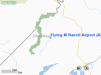
Location
& QuickFacts
|
FAA
Information Effective: |
2007-01-18 |
|
Airport
Identifier: |
AL32 |
|
Airport
Status: |
Operational |
|
Longitude/Latitude: |
085-38-37.3700W/34-19-21.3200N
-85.643714/34.322589 (Estimated) |
|
Elevation: |
670
ft / 204.22 m (Estimated) |
|
Land: |
15
acres |
|
From
nearest city: |
6 nautical miles W of Cedar Bluff, AL |
|
Location: |
Cherokee County, AL |
|
Magnetic Variation: |
03W (2000) |
Owner
& Manager
|
Ownership: |
Privately owned |
|
Owner: |
John O Myers |
|
Address: |
12455 Alabama Hwy 273
Cedar Bluff, AL 35959 |
|
Phone
number: |
256-779-8362 |
|
Manager: |
John O Myers |
|
Address: |
12455 Alabama Hwy 273
Cedar Bluff, AL 35959 |
|
Phone number: |
256-779-8362 |
Airport
Operations and Facilities
|
Airport Use: |
Private |
|
Wind
indicator: |
Yes |
|
Segmented
Circle: |
No |
|
Control
Tower: |
No |
|
Sectional
chart: |
Atlanta |
|
Region: |
ASO - Southern |
|
Boundary
ARTCC: |
ZTL - Atlanta |
|
Tie-in
FSS: |
ANB - Anniston |
|
FSS
Toll Free: |
1-800-WX-BRIEF |
|
Runway Information
Runway 04/22
|
Dimension: |
2600 x 75 ft / 792.5 x 22.9 m |
|
Surface: |
TURF, |
|
|
Runway 04 |
Runway 22 |
|
Traffic
Pattern: |
Left |
Left |
|
Displaced
threshold: |
481.00 ft
RY 04 & 22 DSPLCD THLD MARKED WITH WHITE 5-GAL BUCKETS
FILLED WITH SAND. |
541.00
ft |
|
Obstruction: |
30 ft trees, 500.0 ft from runway, 200 ft right
of centerline |
50 ft tree, 996.0 ft from runway
ADDL OBSTN 30 FT PLINE 1000 FT FROM THLD. |
|
Radio Navigation
Aids
|
ID |
Type |
Name |
Ch |
Freq |
Var |
Dist |
|
FTP |
NDB |
Fort Payne |
|
426.00 |
01W |
12.0 nm |
|
OYD |
NDB |
Floyd |
|
388.00 |
02W |
23.9 nm |
|
ARF |
NDB |
Saratoga |
|
296.00 |
02W |
29.1 nm |
|
OUK |
NDB |
Calhoun |
|
323.00 |
02W |
35.9 nm |
|
EVZ |
NDB |
Cartersville |
|
308.00 |
04W |
40.5 nm |
|
APT |
NDB |
Jasper |
|
382.00 |
02W |
44.4 nm |
|
UWI |
NDB |
Whitfield |
|
400.00 |
03W |
44.5 nm |
|
GAD |
VOR/DME |
Gadsden |
070X |
112.30 |
02E |
30.2 nm |
|
TDG |
VOR/DME |
Talladega |
025X |
108.80 |
02E |
49.1 nm |
|
RMG |
VORTAC |
Rome |
101X |
115.40 |
01E |
27.8 nm |
|
GQO |
VORTAC |
Choo Choo |
105X |
115.80 |
01E |
45.4 nm |
Remarks
- OWNER
DESIRES CHARTING.
- PRVDD
VFR/PVT.
Based
Aircraft
|
Aircraft
based on field: |
4 |
|
Single
Engine Airplanes: |
3 |
|
Ultralights: |
1 |
Flying M Ranch Airport
Address:
Cherokee County, AL
Tel:
256-779-8362
Images
and information placed above are from
http://www.airport-data.com/airport/AL32/
We
thank them for the data!
| General
Info |
| Country |
United
States |
| State |
ALABAMA
|
| FAA ID |
AL32
|
| Latitude |
34-19-21.320N
|
| Longitude |
085-38-37.370W
|
| Elevation |
670 feet
|
| Near City |
CEDAR
BLUFF |
We don't guarantee the information is fresh and accurate. The data may
be wrong or outdated.
For more up-to-date information please refer to other sources.
|
|


