|
 |
|
||||
|
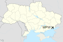
Mariupol International Airport (Ukrainian: Міжнародний аеропорт Маріуполь, Russian: Международный аэропорт Мариуполь) (IATA: MPW, ICAO: UKCM), previously known as Zhdanov Airport, is the currently closed main airport of the large, industrial city and port of Mariupol and is located 5km from the city. The airport is situated on the extreme south-eastern part of Ukraine near the border with Russia. The airport had domestic, international and charter flights. The airport is a Class «B» airfield suitable for the operation of aircraft of all types (categories A, B, C, D, and E). There have been no regular flights since 2009, and the airport has been closed since 19 June 2014.
HistoryThe airport’s history began in 1930 when project Mariupol Airport started (officially named Zhdanov Airport [Жданов Аеропорт] at the time of construction because the city was named Zhdanov until 1989). The first flight was made on a Putilov Stal-3 from Mariupol to Berdyansk in the spring of 1931. However, due to economic problems, the airport was inactive until the autumn of 1932 and did not establish regular flights before the beginning of World War II. In 1967, airport underwent new constructions with the runway and the airport terminal. In its heyday (and during the Soviet Era) the airport transported up to 120,000 passengers a year. There were 30 to 40 flights a day, and during the summer the airport served up to 25,000 passengers per month. However, after the collapse of Soviet Union, and fall of Aeroflot (the airport’s primary airline), airline service and passenger travel declined and the airport became inactive. Until 1993, the airport was a member of the Donetsk United Squadron, and on 26 May 1993, Mariupol Airport was registered as a state enterprise. Construction of a new terminal building which could handle 200+ passengers per hour was launched in February 2003. Also, a new ramp was constructed, and the runway underwent minor repairs with installation of ILS on Runway 20. In 2004, the airport transported over 11,000 passengers. In 2006, 18,000 passengers were transported, and in 2007 more than 20,000. On 26 May 2004 the airport received the status of International Airport, and on 7 November 2005 the State Aviation Administration of Ukraine issued the Certificate of Conformity (MCI-00-04-02-01) which allowed airport to service airlines, passengers, and air cargo.
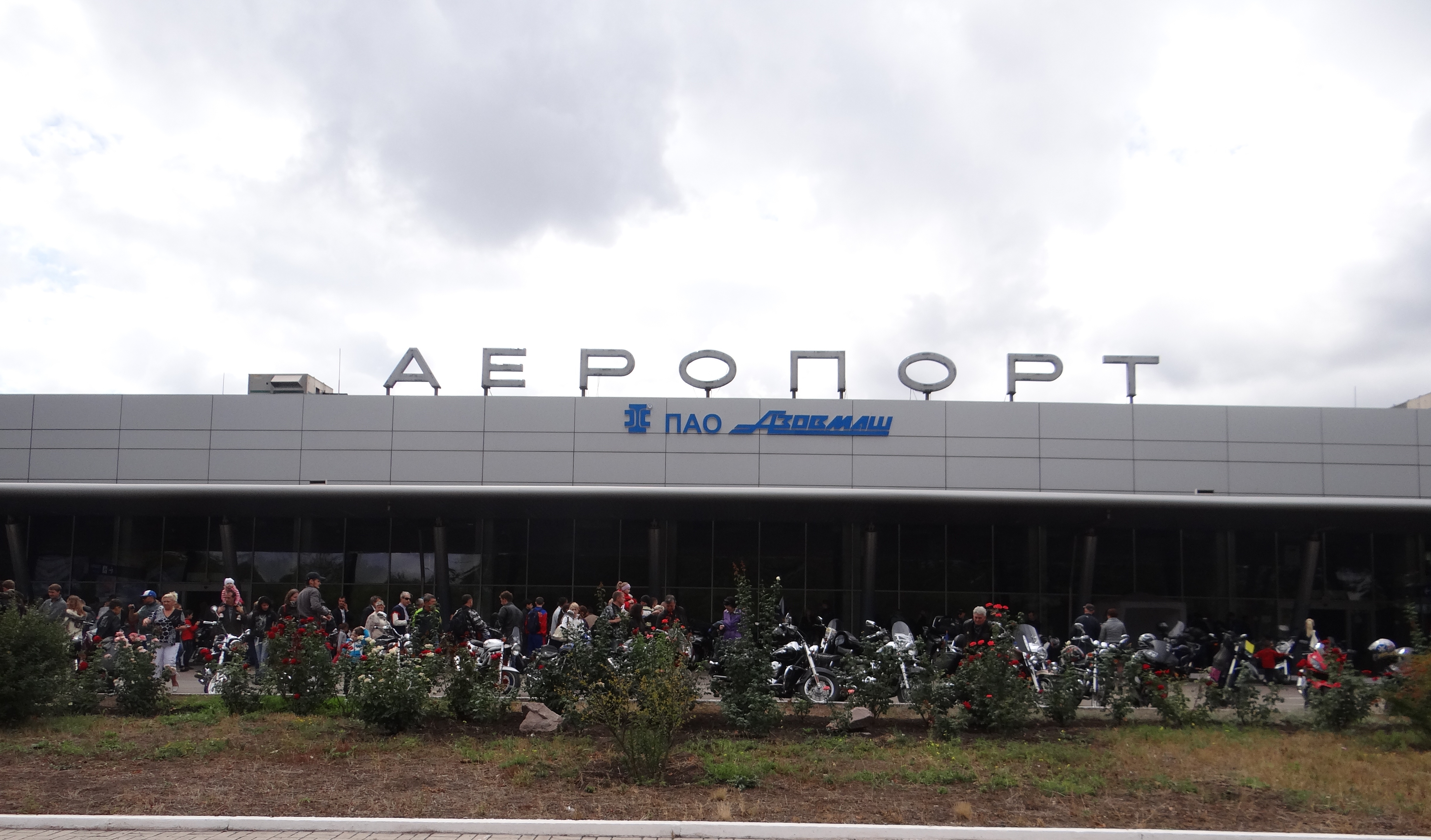
TerminalThe terminal includes two departure and arrival lounges along with a baggage claim area which services both domestic and international flights. Airport has a VIP lounge for passengers traveling in business or first class. Terminal is also outfitted with gift and food stalls, a cafe, restaurant, and wi-fi. Incidents and accidents
The above content comes from Wikipedia and is published under free licenses – click here to read more.
The content above was published at Airports-Worldwide.com in 2020. |
|||||||||||||||||||||||||||||||||||||||||||||||||||||||||||||||||||||||||||||||||||||||||||||||||||||||||||||||||||||||||||||||||||||||||||||||||||||||||||||||||||||||||

 |
|
Copyright 2004-2026 © by Airports-Worldwide.com, Vyshenskoho st. 36, Lviv 79010, Ukraine Legal Disclaimer |