|
|
Ivano-Frankivsk International Airport |
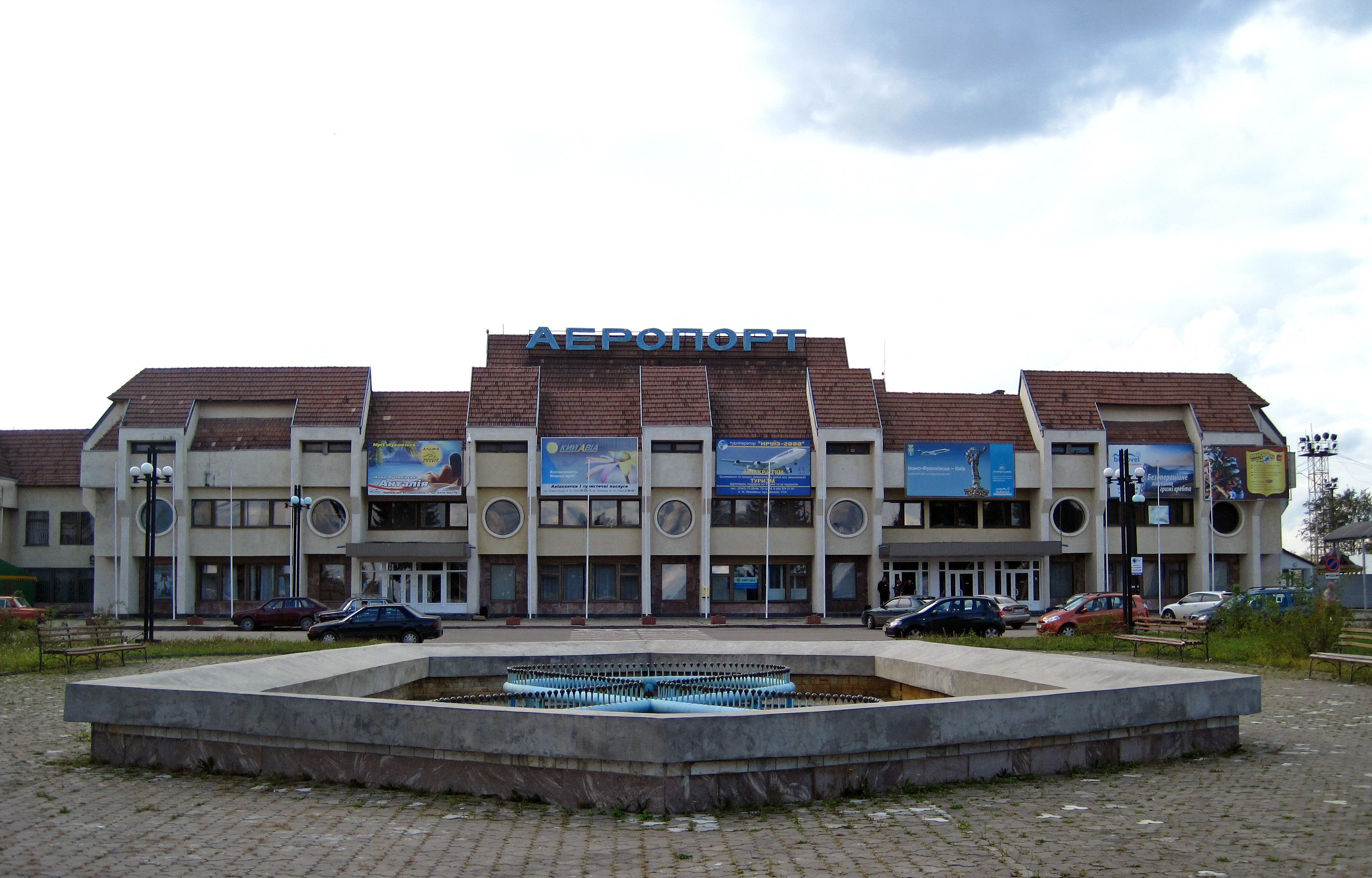
Ivano-Frankivsk International Airport (Ukrainian Міжнародний аеропорт Івано-Франківськ) (IATA: IFO, ICAO: UKLI) is an airport in Ivano-Frankivsk, Ukraine, some 4.4 km (2.7 mi) by road from the town center.
|
Ivano-Frankivsk
International Airport
Міжнародний аеропорт «Івано-Франківськ»
|
|
|
|
|
| Summary |
| Airport type |
Public |
| Serves |
Ivano-Frankivsk |
| Location |
Ivano-Frankivsk, Ivano-Frankivsk Oblast, Ukraine |
| Elevation AMSL |
919 ft / 280 m |
| Coordinates |
48°53′03″N
24°41′10″E |
| Website |
ifo.aero |
| Map |
Location of airport in Ukraine
|
| Runways |
| Direction |
Length |
Surface |
| ft |
m |
| 10/28 |
8,226 |
2,507 |
Concrete |
|
| Statistics (2017) |
|
|
Overview
Ivano-Frankivsk airport is an international airport and has maintained border and customs operations since 1992. The airport is located at the site of the former village of Opryshivtsi. Its traffic capacity is claimed to be 400 passengers per hour. Officials have made efforts in the past to promote the airport and its relative proximity to the Bukovel ski area, Vorokhta and the Carpathian National Nature Park, and other quiet, spectacular mountain environments.

It is a joint military-civil airfield. A second concrete runway, 6,325 ft (1,928 m) long, is now used by the military as a parking lot, and a large apron (located northwest of the civilian terminal) is still in use by the Ukrainian Air Force(the 114th tactical aviation brigade is based at the airfield and has Mig-29 fighter jets).
Airlines and destinations
| Destinations |
| Ukraine International Airlines |
Kiev-Boryspil
Seasonal: Alicante |
| Windrose Airlines |
Dnipropetrovsk, Kiev-Boryspil |
Statistics
| Year |
Passengers |
Change on previous year |
| 2009 |
96,300 |
|
| 2010 |
30,520 |
- 68.3% |
| 2011 |
116,000 |
+ 280% |
| 2012 |
31,700 |
- 72.7% |
| 2013 |
24,900 |
- 21.5% |
| 2014 |
25,200 |
+ 1.2% |
| 2015 |
3,261 |
- 87% |
| 2016 |
98,100 |
+ 2908.0% |
| 2017 |
110,600 |
+ 12.7% |
| 2018 |
112,607 |
+ 2.4% |
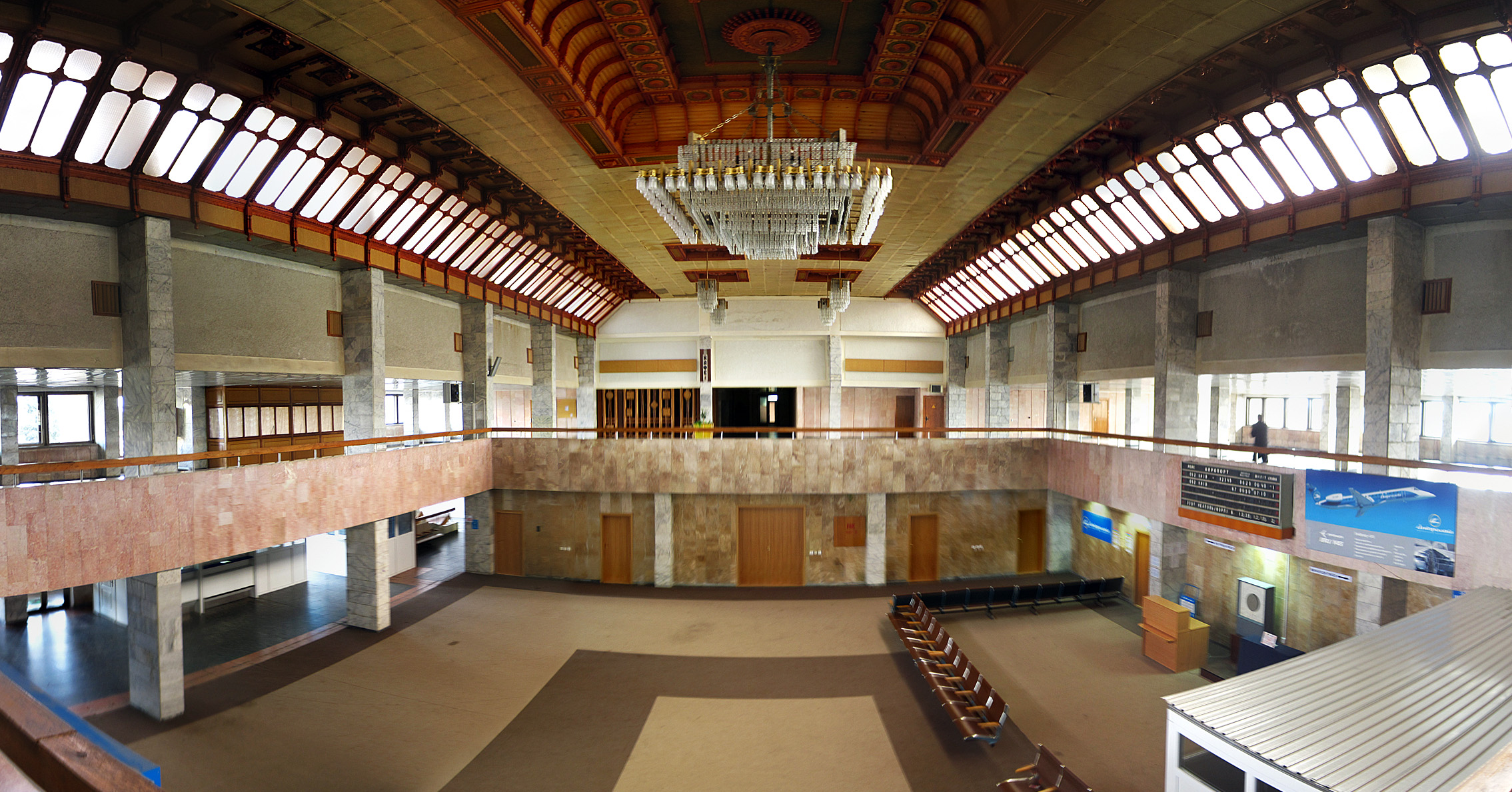
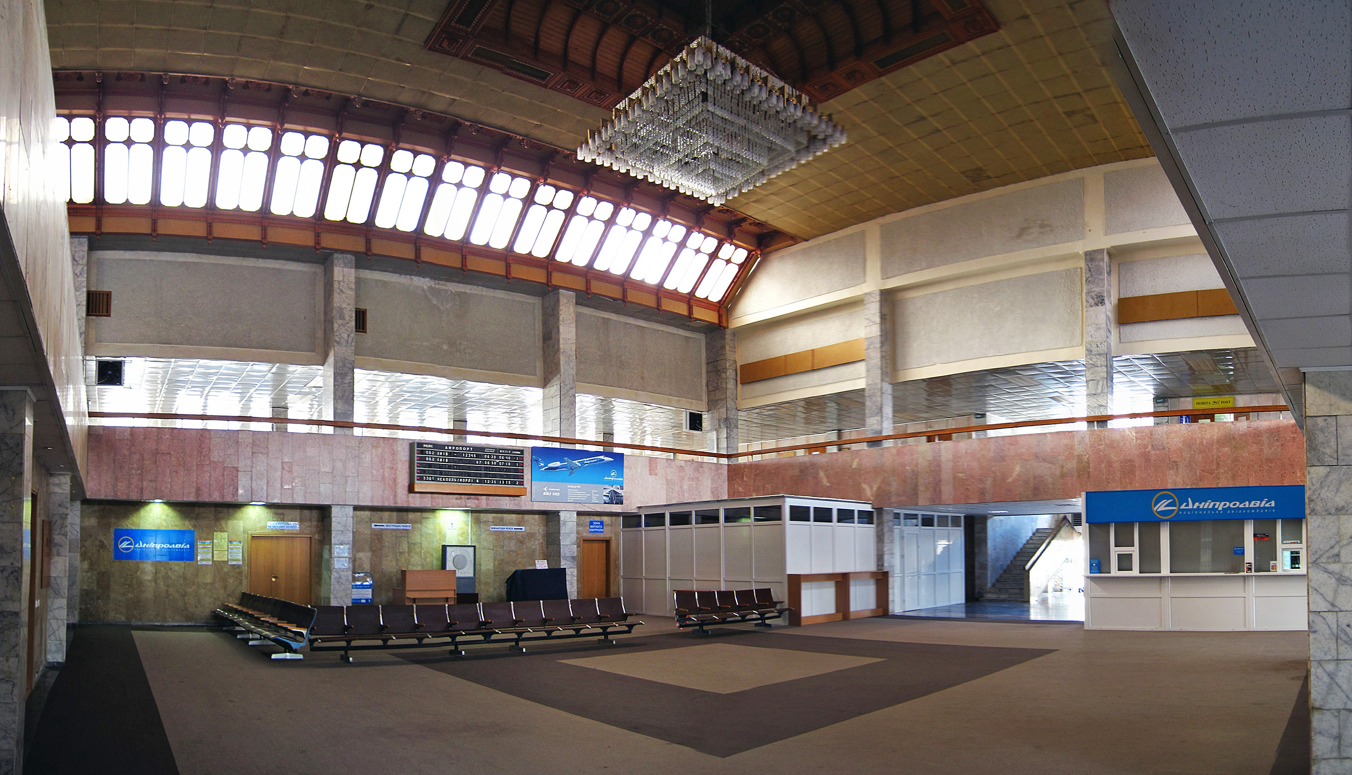
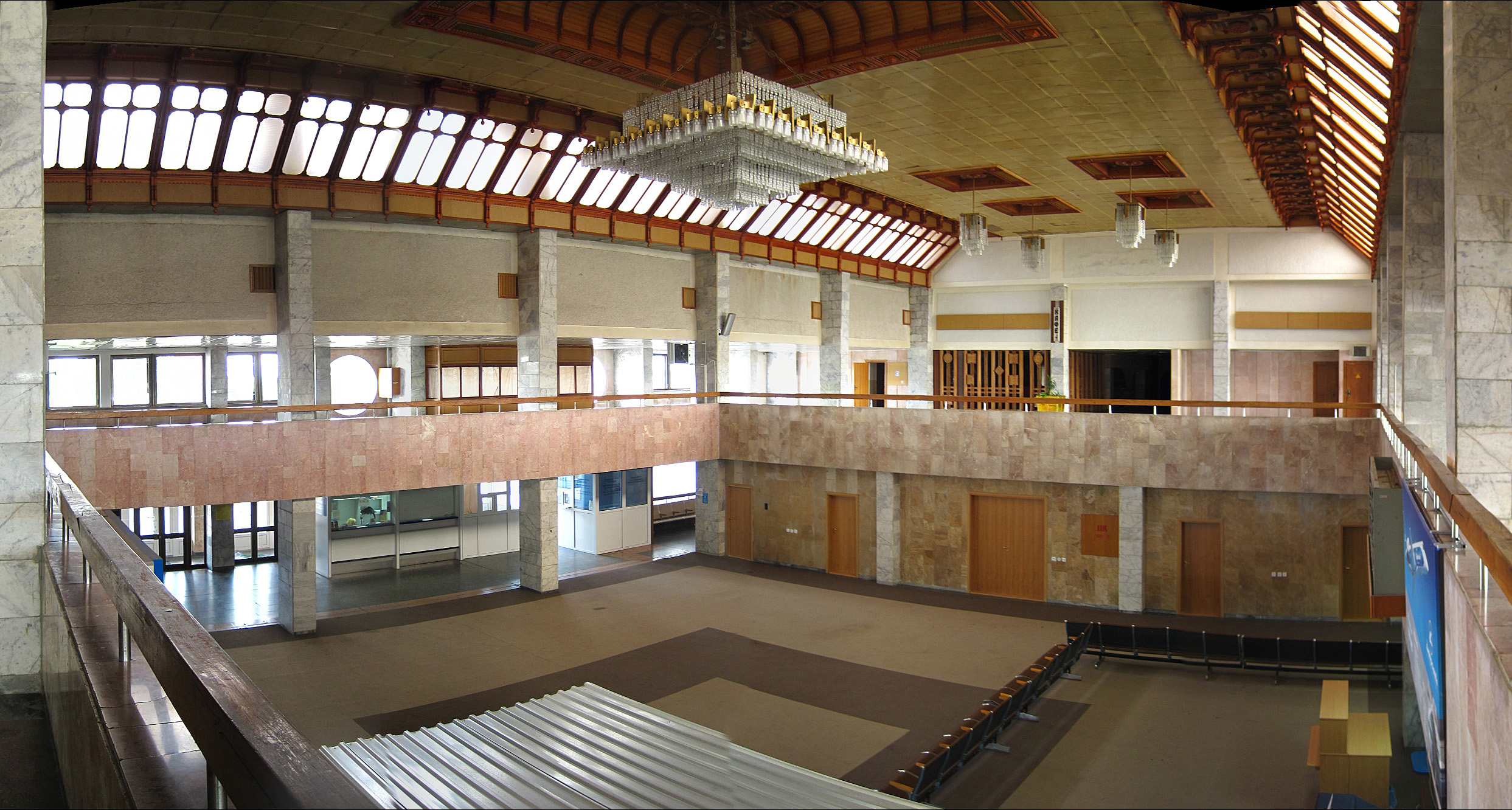
Interior of the airport
The above content comes from Wikipedia and is published under free licenses – click here to read more.
| General Info
|
| Country |
Ukraine
|
| ICAO ID |
UKLI
|
| Time |
UTC+2(+3DT)
|
| Latitude |
48.884167
48° 53' 03.00" N
|
| Longitude |
24.686111
024° 41' 10.00" E
|
| Elevation |
919 feet
280 meters
|
| Type |
Civil
|
| Magnetic Variation |
004° E (01/06)
|
| Operating Agency |
CIVIL GOVERNMENT, (LANDING FEES AND DIPLOMATIC CLEARANCE MAY BE REQUIRED)
|
| Operating Hours |
SEE REMARKS FOR OPERATING HOURS OR COMMUNICATIONS FOR POSSIBLE HOURS
|
| Daylight Saving Time |
Last Sunday in March to last Sunday in October
|
| Communications
|
FRANKO TWR
Opr 0500-2000Z++
|
118.3
|
FRANKO METEO
Opr 0500-2000Z++
|
126.4
|
FRANKO APP
Opr 0500-2000Z++
|
127.3
|
| Runways
|
| ID |
Dimensions |
Surface |
PCN |
ILS
|
| 10/28 |
8226 x 144 feet
2507 x 44 meters |
CONCRETE. |
022RBXT |
YES
|
| Navaids
|
| Type |
ID |
Name |
Channel |
Freq |
Distance From Field |
Bearing From Navaid
|
| VOR-DME |
IVF |
IVANO FRANKIVSK |
089X |
114.2 |
At Field |
-
|
| Supplies/Equipment
|
| Other Fluids |
OX, Indicates oxygen servicing when type of servicing is unknown
|
| Remarks
|
| CSTMS/IMG |
avbl
|
| FUEL |
(NC-A1)
|
| OPR HOURS |
Opr 0500-1800Z++
|
The content above was published at Airports-Worldwide.com in 2020.
We don't guarantee the information is fresh and accurate. The data may be wrong or outdated.
For more up-to-date information please refer to other sources.
|
|