|
|
| Gulu Airport |
 |
| IATA: ULU – ICAO: HUGU |
| Summary |
| Airport type |
Public, Civilian & Military |
| Operator |
Uganda Civil Aviation Authority |
| Serves |
Gulu, Uganda |
| Location |
Gulu, Uganda |
| Elevation AMSL |
3,510 ft / 1,070 m |
| Coordinates |
02°48′36″N 32°16′12″E / 2.81°N 32.27°E / 2.81; 32.27Coordinates: 02°48′36″N 32°16′12″E / 2.81°N 32.27°E / 2.81; 32.27 |
| Runways |
| Direction |
Length |
Surface |
| ft |
m |
| 17/35 |
10,314 |
3,144 |
Asphalt |
Gulu Airport (IATA: ULU, ICAO: HUGU) is a civilian and military airport in northern Uganda. Location
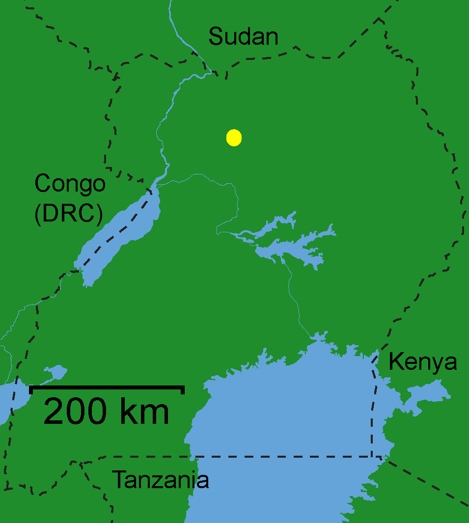
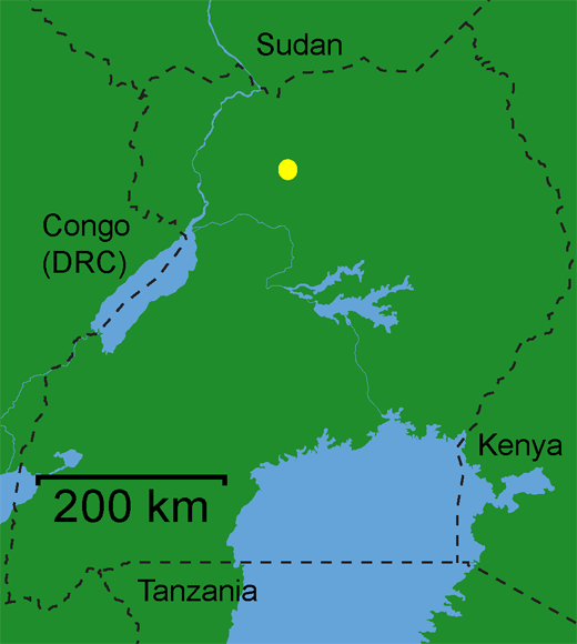
The airport is located 3 kilometres (1.9 mi), by road, northwest of the central business district of the city of Gulu, the largest metropolitan area in northern Uganda. This location is approximately 303 kilometres (188 mi), by air, north of Entebbe International Airport, Uganda's largest civilian and military airport. The coordinates of Gulu Airport are:02 48 36N, 32 16 12E (Latitude:2.8100; Longitude:32.2700). The airport's single paved runway measures 10,314 feet (3,144 m) in length.
Overview
Gulu Airport serves the city of Gulu, (estimated population: 141,500 in 2008). The airport lacks airplane refueling facilities and no customs service is available. However, crash-assistance and fire service (fire truck with 2000 liters of water, foam capability and DCP) is at hand between 08:00am – 17:00pm (local time). A small terminal is located next to the airport and taxis service the trip to town. A newly |installed mobile Air Traffic Control Center is available from 08:00am until 17:00pm (local time). ATC may be contacted on 123.7 MHz using HF communications. No navigation aids, runway lights or VHF exists. The weather office in Gulu town is not in use.
The runway was built in 1959 and has never seen any surface servicing since. The tarmac runway is heavily cracked but still suitable for small to medium aircraft. Hopes of upgrading the airport during the Commonwealth Heads of Government Meeting 2007 did not materialize. The airport grounds are fenced off completely to minimize animal movements onto the runway.
Fugro's Airborne Survey division was contracted by the Government of Uganda to perform airborne geophysical mineral exploration surveys throughout Uganda between 2006 and 2009. To perform their duties in Northern Uganda, the company is basing two aircraft ( one Reims 406 and a Cessna 208) out of Gulu with daily low level (80 meters AGL) flights up to the Sudanese border.
During the twenty one years of civil war between the rebel Lord’s Resistance Army (LRA) and the Ugandan government, the Ugandan Airforce actively based from Gulu. Peace talks started in 2006, and as of 2009 all LRA rebel activity had been removed from Northern Uganda, and thus the Gulu military presence has been reduced to a sizeable ground force with no aircraft, based around the military hangarage on the left of runway 35. It is advisable to stay away from the military section of the airport at all times.
Charter flights between Gulu and Moyo Airport, Arua Airport and Pakuba Airport are also occasionally flown. Eagle Air has regular flights from Entebbe Airport on Mondays, Wednesdays and Fridays.
Gulu airport is one of the thirteen (13) upcountry airports under the administration of the Uganda Civil Aviation Authority. It is also one of the five (5) upcountry airports which are authorized to handle cross-border air traffic from or destined for neighboring countries, in an effort to promote tourism within Eastern Africa.
Scheduled destinations
| Airlines |
Destinations |
| Eagle Air |
Entebbe |
The above content comes from Wikipedia and is published under free licenses – click here to read more.
| General Info
|
| Country |
Uganda
|
| ICAO ID |
HUGU
|
| Time |
UTC+3
|
| Latitude |
2.805556
02° 48' 20.00" N
|
| Longitude |
32.271792
032° 16' 18.45" E
|
| Elevation |
3510 feet
1070 meters
|
| Type |
Civil
|
| Magnetic Variation |
001° E (01/06)
|
| Operating Agency |
CIVIL GOVERNMENT, (LANDING FEES AND DIPLOMATIC CLEARANCE MAY BE REQUIRED)
|
| Operating Hours |
SUNRISE TO SUNSET (SR-SS)
|
| Communications
|
| ADVISORY |
118.2
|
| Runways
|
| ID |
Dimensions |
Surface |
PCN |
ILS
|
| 17/35 |
10314 x 98 feet
3144 x 30 meters |
ASPHALT |
- |
NO
|
| Remarks
|
| OPR HOURS |
Opr SR-SS.
|
The content above was published at Airports-Worldwide.com in 2010.
We don't guarantee the information is fresh and accurate. The data may be wrong or outdated.
For more up-to-date information please refer to other sources.
|
|