|
|
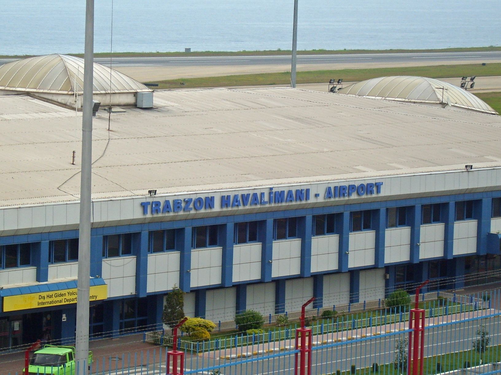
Trabzon Airport
Trabzon Havalimanı |
 |
| IATA: TZX – ICAO: LTCG |
| Summary |
| Airport type |
Public |
| Operator |
Turkish Government Airport Management |
| Location |
Trabzon, Turkey |
| Elevation AMSL |
104 ft / 32 m |
| Coordinates |
40°59′42″N 39°47′23″E / 40.9951°N 39.7897°E / 40.9951; 39.7897Coordinates: 40°59′42″N 39°47′23″E / 40.9951°N 39.7897°E / 40.9951; 39.7897 |
| Runways |
| Direction |
Length |
Surface |
| m |
ft |
| 11/29 |
2640 |
8661 |
Paved |
| Source: DAFIF |
Trabzon Airport (IATA: TZX, ICAO: LTCG) is an airport near the city of Trabzon in the eastern Black Sea region of Turkey. In 2009, it served 1,596,905 passengers, of which mostly (%95) were on domestic routes. In 2009, Trabzon Airport ranked 9th in terms of total passenger traffic, and 7th in terms of domestic traffic among airports in Turkey. [1] Airlines and destinations
| Airlines |
Destinations |
| Air Batumi |
Tbilisi |
| Air Berlin |
Dusseldorf |
| Airblue |
Islamabad, Manchester [Fuel Stop only] |
| Atlasjet |
Ercan |
| Borajet |
Istanbul-Sabiha Gökçen, Bursa-Yenisehir |
| Georgian International Airlines |
Tbilisi |
| Germania |
Hannover |
| Onur Air |
Istanbul-Atatürk , Antalya |
| Pegasus Airlines |
Antalya, Istanbul-Sabiha Gökçen |
| Pegasus Airlines operated by IZair |
Adana, İzmir |
| Turkish Airlines |
Berlin-Schönefeld, Düsseldorf, Hamburg, Frankfurt, Istanbul-Atatürk |
| Turkish Airlines operated by AnadoluJet |
Ankara , Istanbul-Sabiha Gökçen |
| Turkish Airlines operated by SunExpress |
Antalya, İzmir |
| Orbit Express Airlines |
Ankara cargo flights |
Charter
| Airlines |
Destinations |
| Amsterdam Airlines |
Amsterdam |
| Hamburg International |
Cologne/Bonn, Stuttgart |
Referfences
- ^ Airport information for LTCG at World Aero Data. Data current as of October 2006.Source: DAFIF.
- ^ Airport information for TZX at Great Circle Mapper. Source: DAFIF (effective Oct. 2006).
The above content comes from Wikipedia and is published under free licenses – click here to read more.
| General Info
|
| Country |
Turkey
|
| ICAO ID |
LTCG
|
| Time |
UTC+2(+3DT)
|
| Latitude |
40.995108
40° 59' 42.39" N
|
| Longitude |
39.789728
039° 47' 23.02" E
|
| Elevation |
104 feet
32 meters
|
| Type |
Civil
|
| Magnetic Variation |
005° E (01/06)
|
| Beacon |
Yes
|
| Operating Agency |
CIVIL GOVERNMENT, (LANDING FEES AND DIPLOMATIC CLEARANCE MAY BE REQUIRED)
|
| Operating Hours |
24 HOUR OPERATIONS
|
| Daylight Saving Time |
Dates notified by NOTAM
|
| Communications
|
| TWR |
120.1
122.1
362.3
|
| GND |
121.9
|
| APP |
120.1
122.1
362.3
|
| Runways
|
| ID |
Dimensions |
Surface |
PCN |
ILS
|
| 11/29 |
8661 x 148 feet
2640 x 45 meters |
ASPHALT |
075RAXT |
YES
|
| Navaids
|
| Type |
ID |
Name |
Channel |
Freq |
Distance From Field |
Bearing From Navaid
|
| VOR-DME |
TBN |
TRABZON |
096X |
114.9 |
At Field |
-
|
| NDB |
TBN |
TRABZON |
- |
371 |
At Field |
-
|
| Remarks
|
| CAUTION |
Bird concentrations and movements take place up to 300' AGL in vcnty of afld.
|
| FUEL |
(NC-A1)
|
| LGT |
PAPI Rwy 11 GS 3.3 , PAPI Rwy 29 GS 3.5 .
|
The content above was published at Airports-Worldwide.com in 2010.
We don't guarantee the information is fresh and accurate. The data may be wrong or outdated.
For more up-to-date information please refer to other sources.
|
|