|
|
Trat Airport
ท่าอากาศยานตราด |
 |
| IATA: TDX – ICAO: VTBO |
| Summary |
| Airport type |
Public |
| Operator |
Bangkok Airways |
| Location |
Trat |
| Elevation AMSL |
105 ft / 32 m |
| Coordinates |
12°16′28.46″N 102°19′08.25″E / 12.2745722°N 102.3189583°E / 12.2745722; 102.3189583Coordinates: 12°16′28.46″N 102°19′08.25″E / 12.2745722°N 102.3189583°E / 12.2745722; 102.3189583 |
| Runways |
| Direction |
Length |
Surface |
| ft |
m |
| 05/23 |
4,950 |
1,509 |
Asphalt |
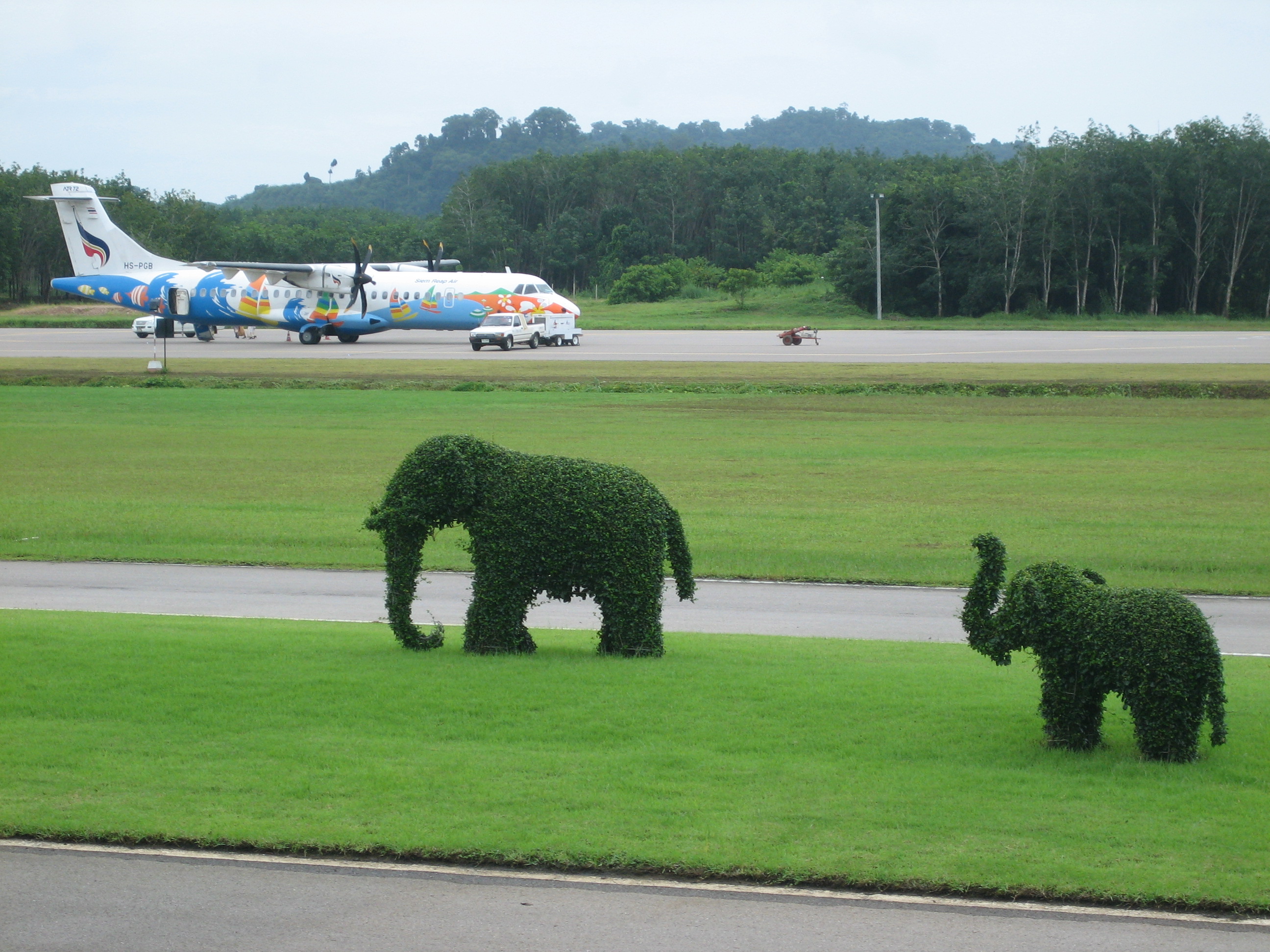
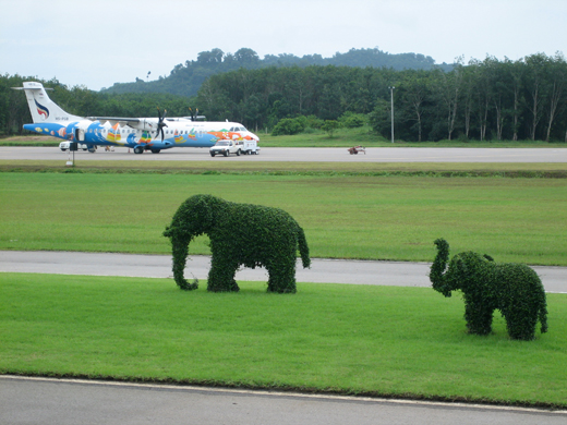
Trat Airport (IATA: TDX, ICAO: VTBO), (Thai: ท่าอากาศยานตราด), is located in Trat, Thailand. Trat Airport is operated and was built by Bangkok Airways. The airport has one runway with a small tarmac and an open air terminal. Airlines and destinations
Domestic airlines
- Bangkok Airways (PG) (Bangkok-Suvarnabhumi) 3 flights per day, Phuket [begins 2 December], Samui [begins 2 December].
The above content comes from Wikipedia and is published under free licenses – click here to read more.
| General Info
|
| Country |
Thailand
|
| ICAO ID |
VTBO
|
| Time |
UTC+7
|
| Latitude |
12.274572
12° 16' 28.46" N
|
| Longitude |
102.318958
102° 19' 08.25" E
|
| Elevation |
105 feet
32 meters
|
| Magnetic Variation |
000° W (07/06)
|
| Operating Agency |
CIVIL GOVERNMENT, (LANDING FEES AND DIPLOMATIC CLEARANCE MAY BE REQUIRED)
|
| Alternate Name |
KHAO SAMING
|
| Communications
|
| TWR |
122.9
|
| APP |
118.6
|
| Runways
|
| ID |
Dimensions |
Surface |
PCN |
ILS
|
| 05/23 |
4950 x 150 feet
1509 x 46 meters |
ASPHALT |
- |
NO
|
| Navaids
|
| Type |
ID |
Name |
Channel |
Freq |
Distance From Field |
Bearing From Navaid
|
| NDB-DME |
TRT |
TRAT |
036X |
384 |
At Field |
-
|
The content above was published at Airports-Worldwide.com in 2010.
We don't guarantee the information is fresh and accurate. The data may be wrong or outdated.
For more up-to-date information please refer to other sources.
|
|