|
|
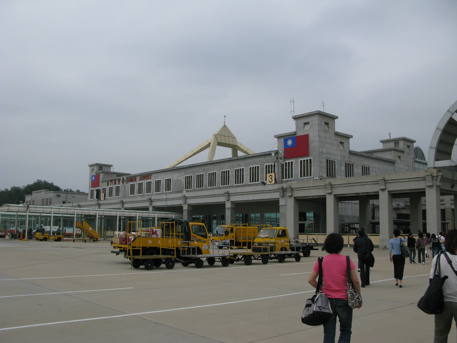
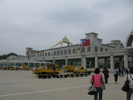
Kinmen Airport
金門航空站 |
 |
IATA: KNH – ICAO: RCBS

Location of airport in Taiwan
|
| Summary |
| Airport type |
Public |
| Operator |
Civil Aeronautics Administration |
| Serves |
Kinmen, Taiwan |
| Elevation AMSL |
93 ft / 28 m |
| Coordinates |
24°25′40″N 118°21′33″E / 24.42778°N 118.35917°E / 24.42778; 118.35917Coordinates: 24°25′40″N 118°21′33″E / 24.42778°N 118.35917°E / 24.42778; 118.35917 |
| Runways |
| Direction |
Length |
Surface |
| m |
ft |
| 06/24 |
3,001 |
9,846 |
Asphalt |
| Sources: |
Kinmen Airport or Shang Yi Airport (Traditional Chinese: 金門尚義機場, Simplified Chinese: 金门尚义机场, Hanyu Pinyin: Jīnmén Shàngyì jīchǎng) (IATA: KNH, ICAO: RCBS) is a civilian airport serving Kinmen, Fujian Province, Republic of China (Taiwan). It was built in 1994 as a civilian airport located at Shang-I, to the northeastern side of the original military airport. It was authorized to become a C-class airport under the direct supervision of Civil Aeronautics Administration, Ministry of Transport and Communications of the Executive Yuan.
It served an average of 1.2 million passenger every year. Facilities
The airport resides at an elevation of 93 feet (28 m) above mean sea level. It has one runway designated 06/24 with an asphalt surface measuring 3,001 by 45 metres (9,846 × 148 ft).
A 2,580-metre connecting road links to a highway leading to two townships.
Airlines and destinations
| Airlines |
Destinations |
| Mandarin Airlines |
Taichung, Taipei-Songshan |
| TransAsia Airways |
Kaohsiung, Taipei-Songshan |
| Uni Air |
Chiayi, Kaohsiung, Taichung, Tainan, Taipei-Songshan |
The above content comes from Wikipedia and is published under free licenses – click here to read more.
| General Info
|
| Country |
Taiwan
|
| ICAO ID |
RCBS
|
| Time |
UTC+8
|
| Latitude |
24.427892
24° 25' 40.41" N
|
| Longitude |
118.359197
118° 21' 33.11" E
|
| Elevation |
93 feet
28 meters
|
| Type |
Civil
|
| Magnetic Variation |
003° W (01/06)
|
| Beacon |
Yes
|
| Operating Agency |
CIVIL GOVERNMENT, (LANDING FEES AND DIPLOMATIC CLEARANCE MAY BE REQUIRED)
|
| Alternate Name |
KINMEN
|
| Island Group |
Chinmen I
|
| Operating Hours |
SEE REMARKS FOR OPERATING HOURS OR COMMUNICATIONS FOR POSSIBLE HOURS
|
| Communications
|
| KINMEN TWR |
118.0
126.2
236.6
|
| KINMEN ATIS |
127.2
|
| TAICHUNG APP |
124.6
133.1
|
| Runways
|
| ID |
Dimensions |
Surface |
PCN |
ILS
|
| 06/24 |
9847 x 148 feet
3001 x 45 meters |
ASPHALT |
043FBXT |
YES
|
| Navaids
|
| Type |
ID |
Name |
Channel |
Freq |
Distance From Field |
Bearing From Navaid
|
| NDB-DME |
BS |
KINMEN |
022X |
345 |
At Field |
-
|
| Supplies/Equipment
|
| Fuel |
Aviation Gasoline (AVGAS), octane unknown.
|
| Remarks
|
| FUEL |
(NC A1).
|
| LGT |
Rwy 06 PAPI GS 2.94 . MEHT 63'.
|
| MISC |
No US mil, OPS, or Wx svc.
|
| OPR HOURS |
Opr 2300-1200Z
|
| RSTD |
PPR 96 hr IAW FCG exc emerg. For assistance ctc the American Institute in Taiwan(AIT), address: 7, Lane 134, Hsin Yi Road, Sec 3, Taipei, Taiwan, duty hr fone,C886 2784 2336, OT, C886 2709 3013.
|
The content above was published at Airports-Worldwide.com in 2010.
We don't guarantee the information is fresh and accurate. The data may be wrong or outdated.
For more up-to-date information please refer to other sources.
|
|