|
|
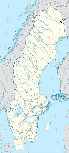
Pajala Airport (IATA: PJA, ICAO: ESUP) is an airport in Pajala, Sweden.
| Pajala Airport |
|
|
| Summary |
| Airport type |
Public |
| Operator |
Pajala Municipality |
| Location |
Pajala, Norrbotten, Sweden |
| Elevation AMSL |
542 ft / 165 m |
| Coordinates |
67°14′44″N
023°04′08″E |
| Website |
www.pajala.se/pajala-airport |
| Map |
|
|
| Runways |
| Direction |
Length |
Surface |
| m |
ft |
| 11/29 |
2,302 |
7,552 |
Asphalt |
|
| Statistics (2016) |
| Passengers total |
5,914 |
| Domestic passengers |
2,007 |
| International passengers |
3,907 |
|
History
The airport was opened for regular traffic in 1999. Before that, Pajala was said to be the most inaccessible municipality centre in Sweden, with around 5 hours travel time from central Stockholm (with flight to Gällivare Airport, hand luggage only, and a 140 km journey by car from Gällivare to Pajala). A political principle was established at the time saying that there should be maximum four hours travel time between central Stockholm and any municipality centre, in order to make one-day business travel possible.
The runway was extended by 880 metres (2,890 ft) to 2,302 metres (7,552 ft) in 2007, to be able to handle larger charter aircraft. Beginning in December 2013, the airport has been used for several charter flights per year from the United Kingdom for tourists wishing to see a white Christmas.
Airlines and destinations
| Destinations |
| Jonair |
Luleå (PSO) |
Enter Air operate irregular charters to/from the UK in December.
Ground transportation
The airport is 15 kilometres (9 mi) west of Pajala village. Taxi and rental cars are available. The bus no 46 Gällivare–Pajala stops at the main road near the airport, however only twice per day.
The above content comes from Wikipedia and is published under free licenses – click here to read more.
| General Info
|
| Country |
Sweden
|
| ICAO ID |
ESUP
|
| Time |
UTC+1(+2DT)
|
| Latitude |
67.245639
67° 14' 44.30" N
|
| Longitude |
23.068911
023° 04' 08.08" E
|
| Elevation |
542 feet
165 meters
|
| Magnetic Variation |
008° E (01/06)
|
| Beacon |
Yes
|
| Operating Agency |
PRIVATE
|
| Operating Hours |
24 HOUR OPERATIONS
|
| Daylight Saving Time |
Last Sunday in March to last Sunday in October
|
| Communications
|
AFIS
Opr O/R fone C+46 (0)978 11 10 or C+46 (0)706 66 26 71.
|
118.25
|
| Runways
|
| ID |
Dimensions |
Surface |
PCN |
ILS
|
| 11/29 |
4659 x 98 feet
1420 x 30 meters |
ASPHALT |
030FBXU |
YES
|
| Supplies/Equipment
|
| Fuel |
100/130 MIL Spec, low lead, aviation gasoline (BLUE)
|
| Remarks
|
| FUEL |
Avbl O/R, ctc AFIS. (NC-100LL, A1)
|
| LGT |
ABn opr dur AFIS hr. ACTIVATE lo ints lgt on 118.25 for 10 sec.
|
The content above was published at Airports-Worldwide.com in 2018.
We don't guarantee the information is fresh and accurate. The data may be wrong or outdated.
For more up-to-date information please refer to other sources.
|
|