|
|
Kemerovo International Airport
Международный Аэропорт Кемерово |
 |
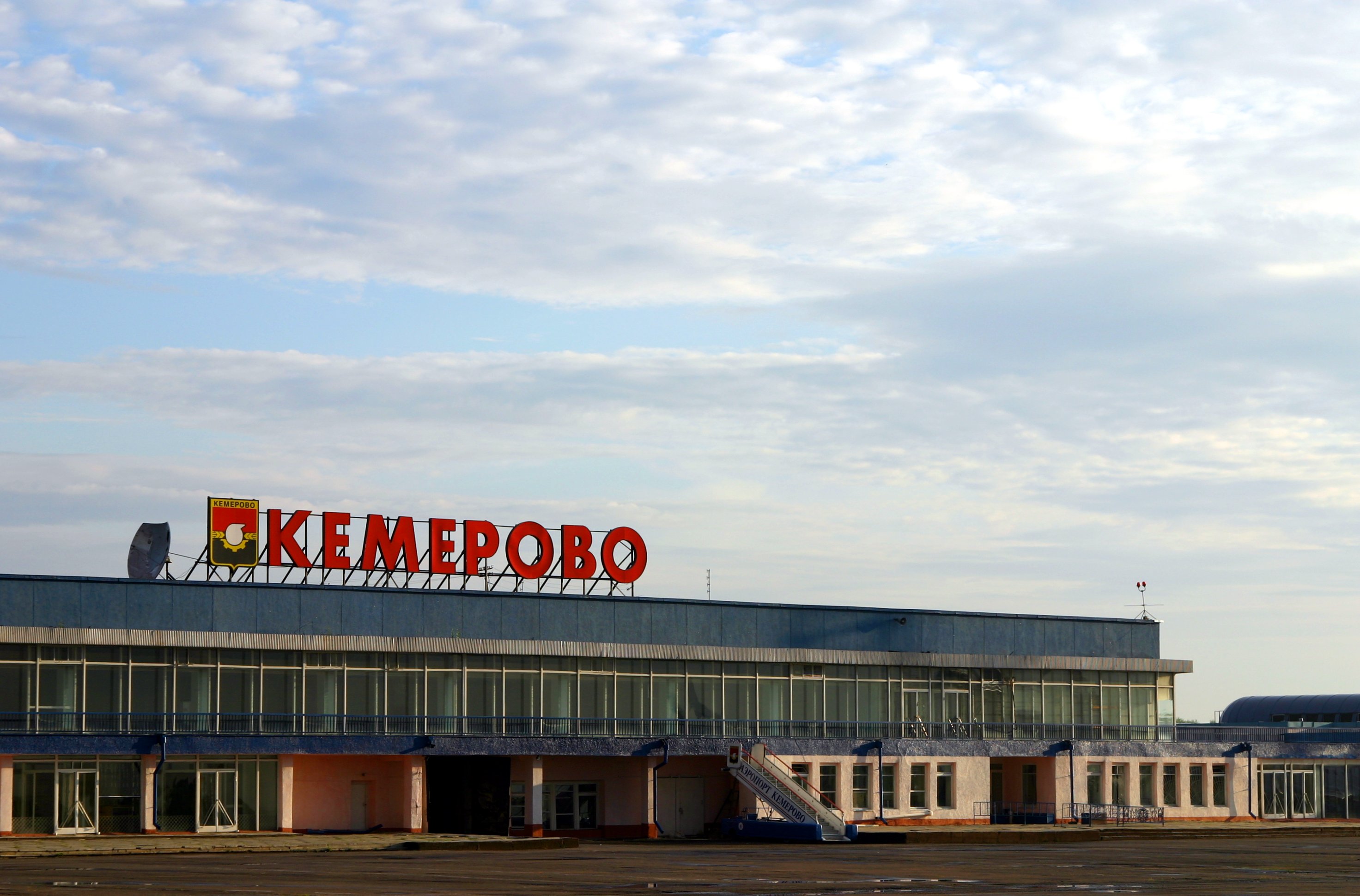
| Kemerovo International Airport in 2006 |
| IATA: KEJ – ICAO: UNEE |
| Summary |
| Airport type |
Public |
| Location |
Kemerovo |
| Elevation AMSL |
863 ft / 263 m |
| Coordinates |
55°16′18″N 086°6′36″E / 55.27167°N 86.11°E / 55.27167; 86.11Coordinates: 55°16′18″N 086°6′36″E / 55.27167°N 86.11°E / 55.27167; 86.11 |
| Runways |
| Direction |
Length |
Surface |
| ft |
m |
| 05/23 |
10,499 |
3,200 |
Concrete |
| 05L/23R Closed |
8,655 |
2,638 |
Asphalt |
Kemerovo International Airport ((Russian: Международный Аэропорт Кемерово) (IATA: KEJ, ICAO: UNEE). is one of 2 major airports in Kemerovo Oblast area (Russian: Кемеровская область, Kemerovskaya oblast), Russia, Southwestern Siberia located 10 km southeast of Kemerovo. It is a civilian airfield serving medium-sized airliners, but large enough to be used for military purposes. An older 2750 m runway is now a parallel taxiway.
Airlines and destinations
| Airlines |
Destinations |
| Aeroflot |
Moscow-Sheremetyevo |
| S7 Airlines |
Moscow-Domodedovo |
| Vladivostok Air |
Moscow-Vnukovo |
| Yamal Airlines |
Sochi [seasonal] |
The above content comes from Wikipedia and is published under free licenses – click here to read more.
| General Info
|
| Country |
Russia
|
| ICAO ID |
UNEE
|
| Time |
UTC+7(+8DT)
|
| Latitude |
55.270094
55° 16' 12.34" N
|
| Longitude |
86.107208
086° 06' 25.95" E
|
| Elevation |
863 feet
263 meters
|
| Type |
Civil
|
| Magnetic Variation |
007° E (01/06)
|
| Operating Agency |
CIVIL GOVERNMENT, (LANDING FEES AND DIPLOMATIC CLEARANCE MAY BE REQUIRED)
|
| Operating Hours |
24 HOUR OPERATIONS
|
| Daylight Saving Time |
Last Sunday in March to last Sunday in October
|
| Communications
|
START
Svc as LANDING and TAXIING.
|
118.3
|
| METEO |
128.7
|
APP
Svc as RADAR.
|
125.5
128.5
129.0
|
| Runways
|
| ID |
Dimensions |
Surface |
PCN |
ILS
|
| 05/23 |
10499 x 197 feet
3200 x 60 meters |
CONCRETE. |
045RAWT |
NO
|
05L/23R
CLOSED |
8655 x 155 feet
2638 x 47 meters |
ASPHALT |
- |
NO
|
| Navaids
|
| Type |
ID |
Name |
Channel |
Freq |
Distance From Field |
Bearing From Navaid
|
| NDB |
NC |
KEMEROVO |
- |
489 |
3.1 NM |
226.6
|
| Remarks
|
| CAUTION |
Rwy 23 - Acft buffeting possible dur ldg run fr 1640' to 3937' due to uneven sfc.
|
| FUEL |
(NC-TS1)
|
| RSTD |
First 328' of Rwy 05-23 unuse for tkof.
|
The content above was published at Airports-Worldwide.com in 2010.
We don't guarantee the information is fresh and accurate. The data may be wrong or outdated.
For more up-to-date information please refer to other sources.
|
|