|
|
Bydgoszcz Ignacy Jan Paderewski Airport
Port lotniczy im. Ignacego Jana Paderewskiego Bydgoszcz-Szwederowo |
 |
 |
| IATA: BZG – ICAO: EPBY
Location of airport in Poland
|
| Summary |
| Airport type |
Public, Military |
| Operator |
Port Lotniczy Bydgoszcz SA |
| Location |
Bydgoszcz |
| Elevation AMSL |
72 m / 236 ft |
| Coordinates |
53°05′48″N 017°58′40″E / 53.09667°N 17.97778°E / 53.09667; 17.97778 (Bydgoszcz Ignacy Jan Paderewski Airport)Coordinates: 53°05′48″N 017°58′40″E / 53.09667°N 17.97778°E / 53.09667; 17.97778 (Bydgoszcz Ignacy Jan Paderewski Airport) |
| Runways |
| Direction |
Length |
Surface |
| m |
ft |
| 08/26 |
2,500 |
8,202 |
Concrete/Asphalt |
| 08/26 |
650 |
2,133 |
Grass |
| 12/30 |
650 |
2,133 |
Grass |
| 03/21 |
590 |
1,936 |
Grass |
| Polish AIP at EUROCONTROL |
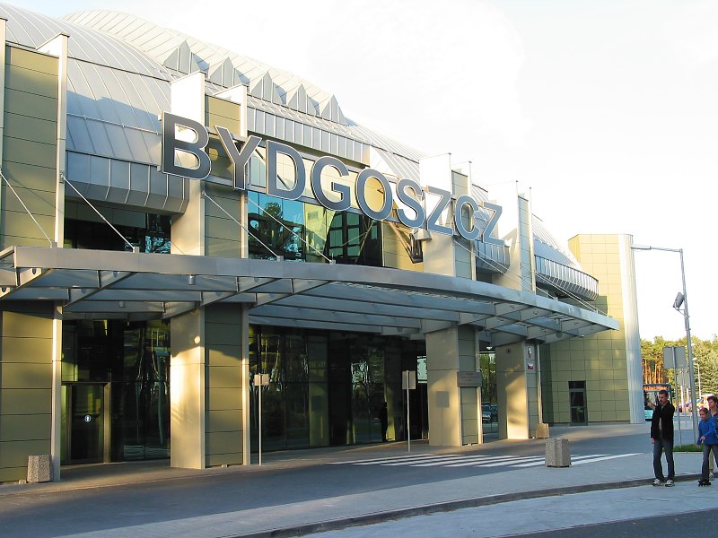
Bydgoszcz Ignacy Jan Paderewski Airport (IATA: BZG, ICAO: EPBY) (Polish: Port lotniczy im. Ignacego Jana Paderewskiego Bydgoszcz-Szwederowo) is a Polish regional airport in the city of Bydgoszcz, Poland. It lies only 3.5 km (2.2 mi) from the city center. It is the tenth airport in Poland in terms of passenger traffic. Currently the airport features one passenger terminal and four runways, the main being 08/26 which is 2,500 × 60 m (8,202 × 197 ft). Plans for development in 2007-2013 include extending the runway and building a cargo terminal. Statistics
- Data from Poland's Office of Civil Aviation (Urząd Lotnictwa Cywilnego)
Airlines and destinations
| Year |
Passengers |
Cargo (in kg) |
Aircraft movements |
| 2004 |
25,354 |
267,854 |
2,359 |
| 2005 |
38,682 |
338,937 |
1,359 |
| 2006 |
133,009 |
340,503 |
2,685 |
| 2007 |
181,576 |
411,052 |
3,092 |
| 2008 |
280,182 |
- |
7,518 |
| 2009 |
275,362 |
- |
6,376 |
|
| Airlines |
Destinations |
| Ryanair |
Birmingham, Dublin, London-Stansted, Weeze |
The above content comes from Wikipedia and is published under free licenses – click here to read more.
| General Info
|
| Country |
Poland
|
| ICAO ID |
EPBY
|
| Time |
UTC+1(+2DT)
|
| Latitude |
53.096803
53° 05' 48.49" N
|
| Longitude |
17.977669
017° 58' 39.61" E
|
| Elevation |
235 feet
72 meters
|
| Type |
Joint (Civil and Military)
|
| Magnetic Variation |
003° E (01/06)
|
| Operating Agency |
MILITARY - CIVIL JOINT USE AIRPORT
|
| Near City |
Bydgoszcz
|
| Operating Hours |
SEE REMARKS FOR OPERATING HOURS OR COMMUNICATIONS FOR POSSIBLE HOURS
|
| Daylight Saving Time |
Last Sunday in March to last Sunday in October
|
| Communications
|
| BYDGOSZCZ TWR |
131.0
|
| INFO |
128.5
131.0
|
| Communications Remarks |
|
| TWR |
(131.0 2000-0200Z++, 0400-0600Z++, 1100-1400Z++)(128.5 0200-0400Z++ 0600-1100Z++, 1400-2000Z++)
|
| Runways
|
| ID |
Dimensions |
Surface |
PCN |
ILS
|
| 08/26 |
8202 x 197 feet
2500 x 60 meters |
CONCRETE. |
042RBXT |
YES
|
| Navaids
|
| Type |
ID |
Name |
Channel |
Freq |
Distance From Field |
Bearing From Navaid
|
| NDB |
SL |
BYDGOSZCZ |
- |
534 |
2.8 NM |
259.1
|
| Supplies/Equipment
|
| Oil |
O-117, 1100, Reciprocating Engine Oil (MIL L 6082)
|
| Remarks
|
| CSTMS/IMG |
Avbl.
|
| FUEL |
(NC-100LL, A1)
|
The content above was published at Airports-Worldwide.com in 2010.
We don't guarantee the information is fresh and accurate. The data may be wrong or outdated.
For more up-to-date information please refer to other sources.
|
|