|
|
Calbayog Airport
Paliparan ng Calbayog
Luparan han Calbayog |
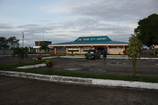 |
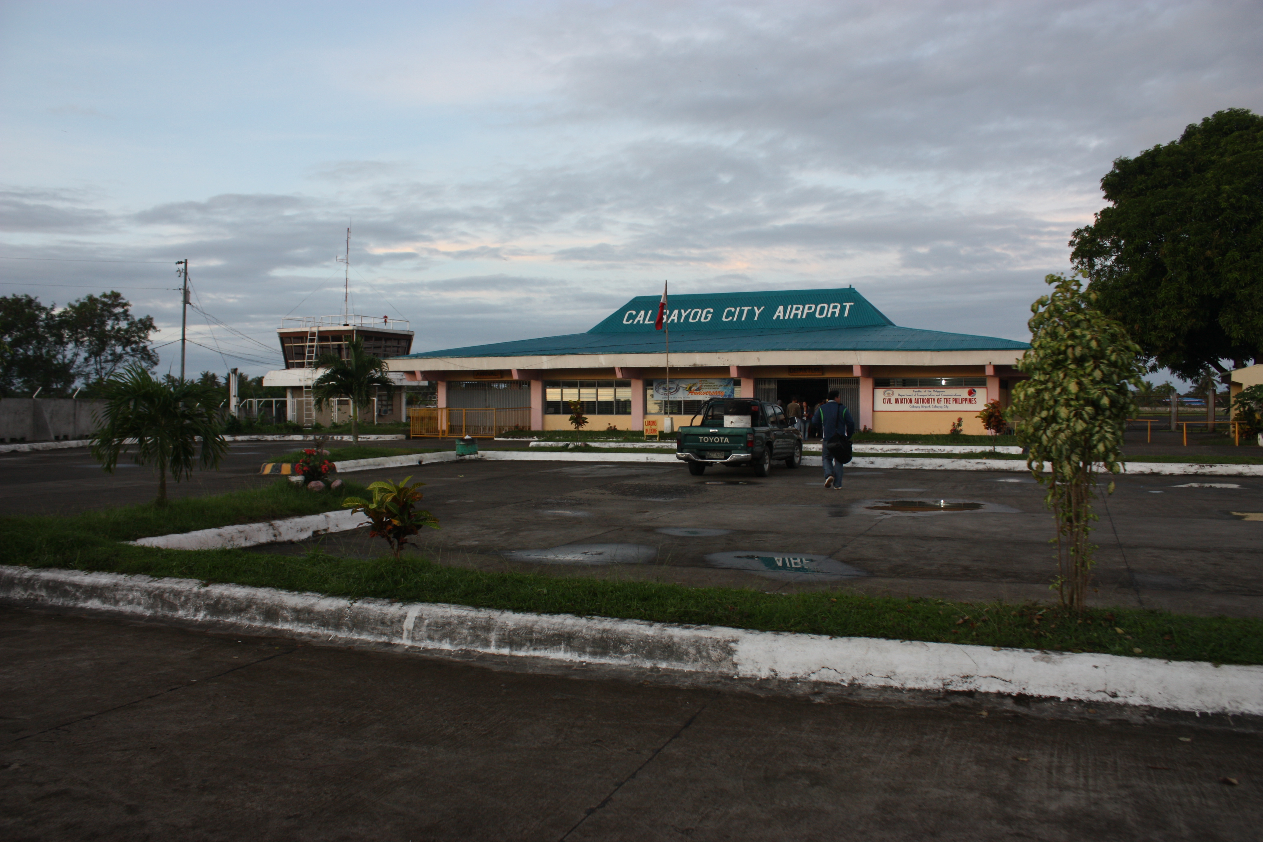
| Exterior of Calbayog Airport |
| IATA: CYP – ICAO: RPVC |
| Summary |
| Airport type |
Public |
| Operator |
Civil Aviation Authority of the Philippines |
| Serves |
Calbayog City |
| Location |
Barangay Trinidad, Calbayog City |
| Elevation AMSL |
4 m / 12 ft |
| Coordinates |
12°04′21.74″N 124°32′42.33″E / 12.0727056°N 124.5450917°E / 12.0727056; 124.5450917Coordinates: 12°04′21.74″N 124°32′42.33″E / 12.0727056°N 124.5450917°E / 12.0727056; 124.5450917 |
| Runways |
| Direction |
Length |
Surface |
| m |
ft |
| 17/35 |
1,650 |
5,415 |
Concrete |
| Statistics (2008) |
| Passengers |
20,616 |
| Aircraft movements |
454 |
| Metric tonnes of cargo |
65 |
| Statistics from the Civil Aviation Authority of the Philippines. |
Calbayog Airport (Filipino: Paliparan ng Calbayog, Waray-Waray: Luparan han Calbayog) (IATA: CYP, ICAO: RPVC) is an airport serving the general area of Calbayog City, located in the province of Samar in the Philippines. The airport is classified as a Class 2 principal (minor domestic) airport by the Civil Aviation Authority of the Philippines, a body of the Department of Transportation and Communications that is responsible for the operations of not only this airport but also of all other airports in the Philippines except the major international airports. Airlines and destinations
| Airlines |
Destinations |
| Airphil Express |
Manila |
| Cebu Pacific |
Manila |
| Zest Airways |
Manila |
Gallery
The above content comes from Wikipedia and is published under free licenses – click here to read more.
| General Info
|
| Country |
Philippines
|
| ICAO ID |
RPVC
|
| Time |
UTC+8
|
| Latitude |
12.072706
12° 04' 21.74" N
|
| Longitude |
124.545092
124° 32' 42.33" E
|
| Elevation |
12 feet
4 meters
|
| Magnetic Variation |
001° W (01/06)
|
| Operating Agency |
CIVIL GOVERNMENT, (LANDING FEES AND DIPLOMATIC CLEARANCE MAY BE REQUIRED)
|
| Island Group |
Samar I
|
| Operating Hours |
SEE REMARKS FOR OPERATING HOURS OR COMMUNICATIONS FOR POSSIBLE HOURS
|
| Runways
|
| ID |
Dimensions |
Surface |
PCN |
ILS
|
| 17/35 |
4843 x 98 feet
1476 x 30 meters |
CONCRETE. |
020RBWT |
NO
|
| Remarks
|
| CAUTION |
WIP. Apch zone Rwy 17-35 obst with trees, ant and coconut groves. Rwy 17; Hills aprx 0.5 NM fr thld. Unmrk fence 1 NM fr rwy end protrudes the apch/dep path by 5331'; Road aprx 328' fr thld.
|
| OPR HOURS |
Opr 2200-0800Z dly.
|
The content above was published at Airports-Worldwide.com in 2010.
We don't guarantee the information is fresh and accurate. The data may be wrong or outdated.
For more up-to-date information please refer to other sources.
|
|